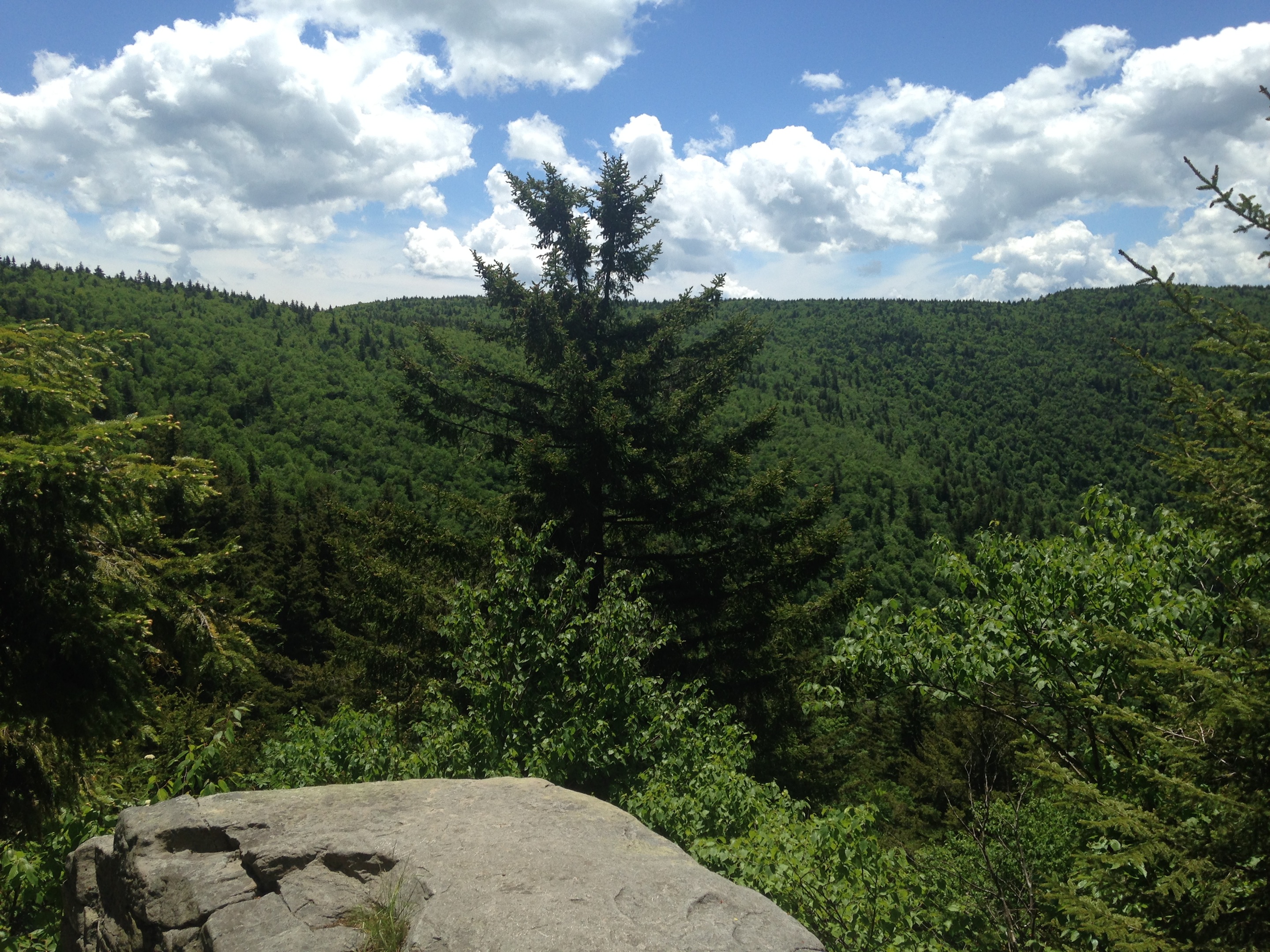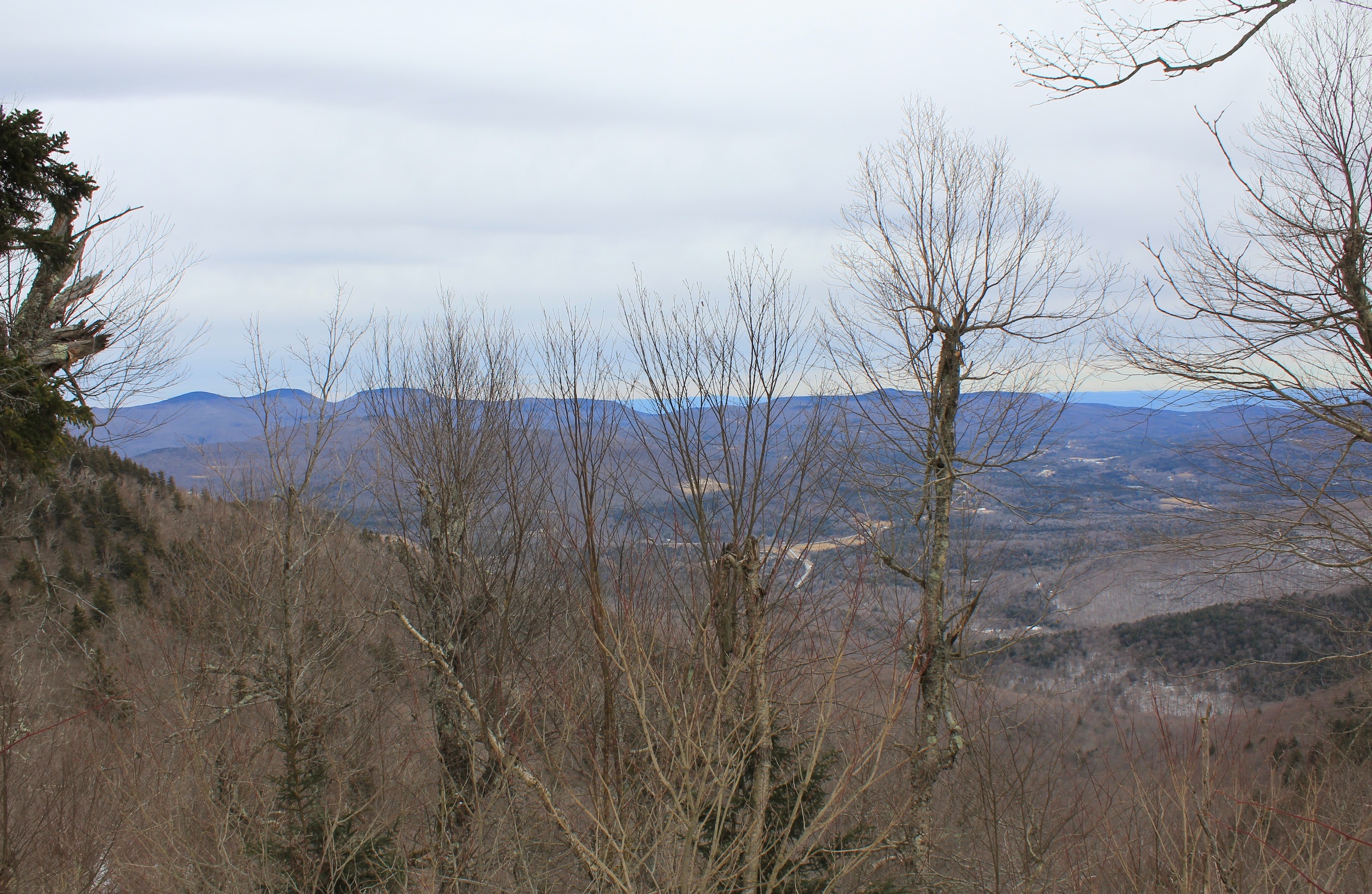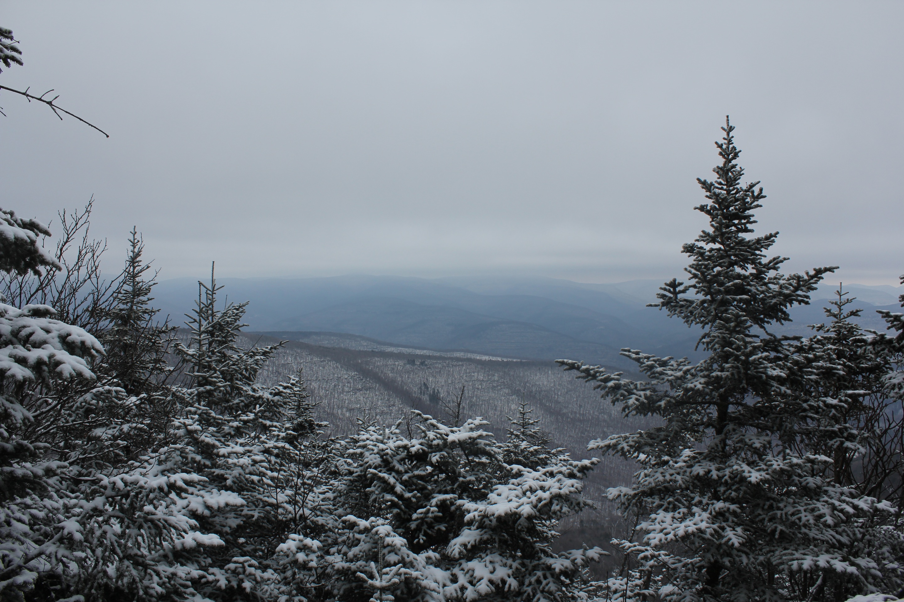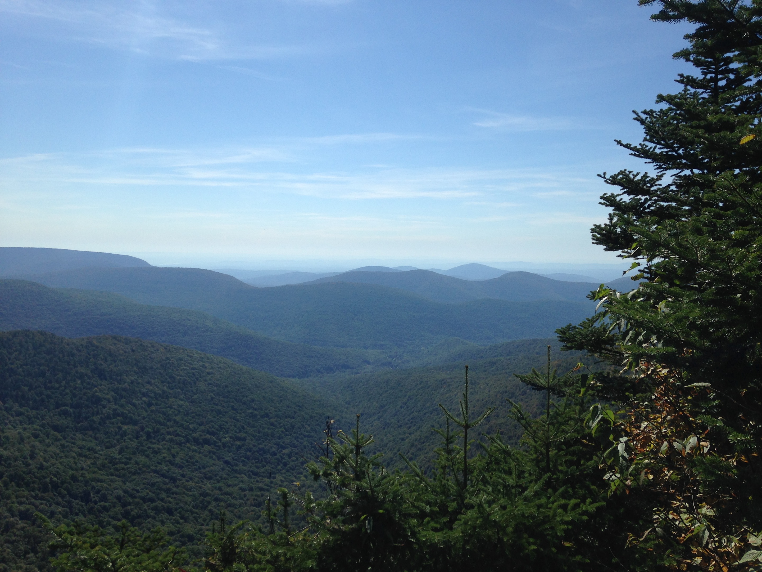
© J.N. Urbanski 8/12/15 1.47pm
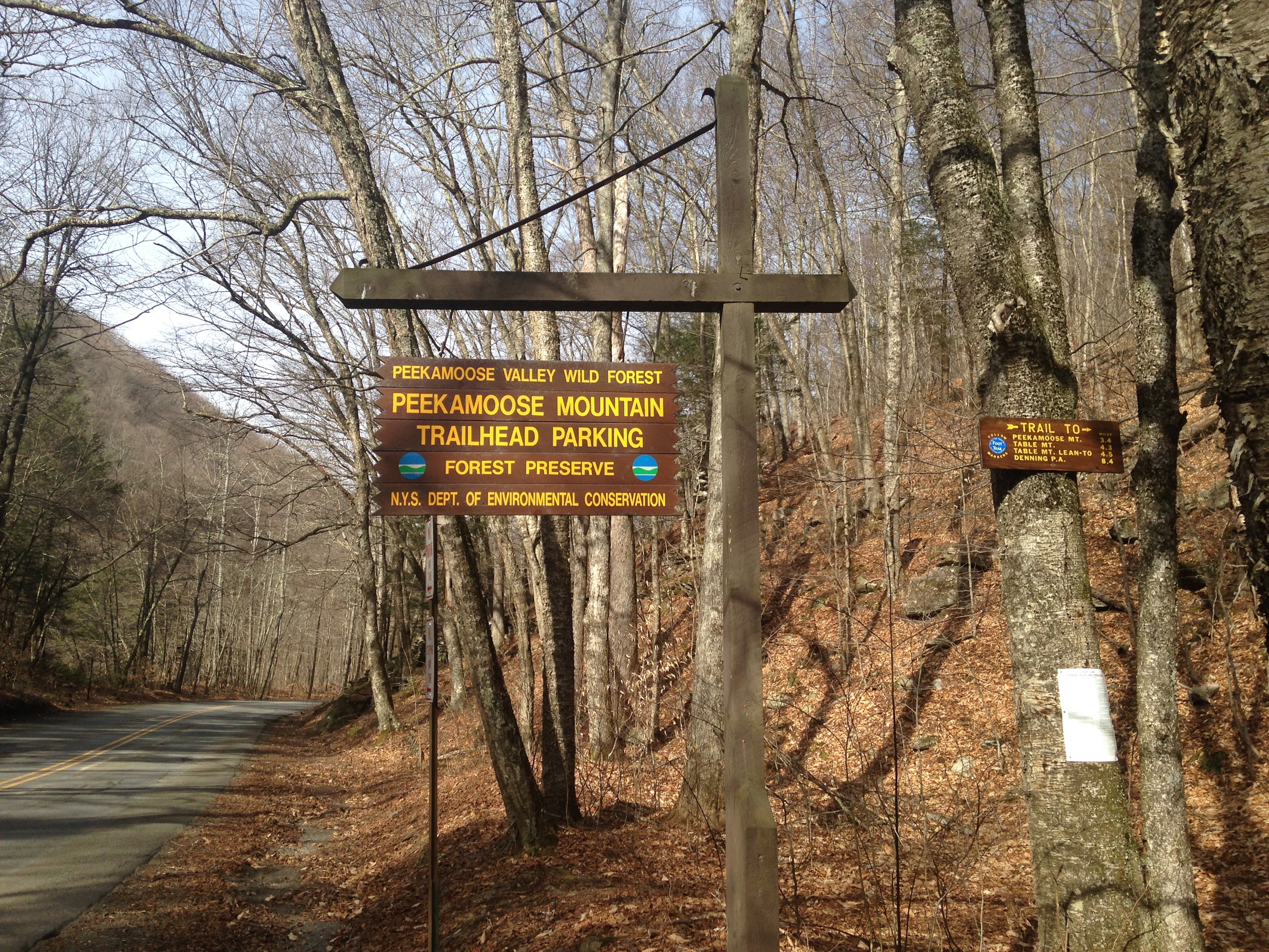
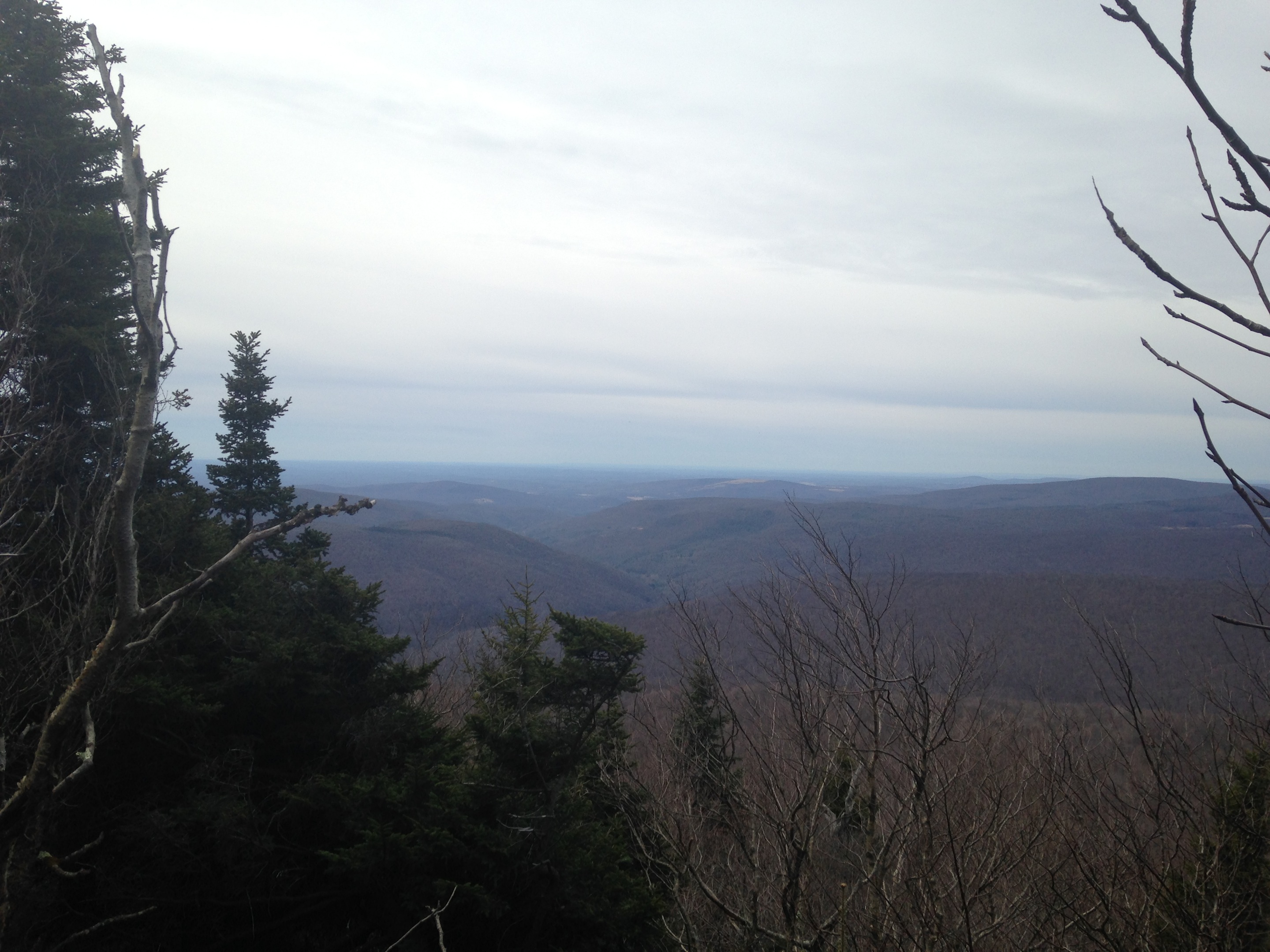
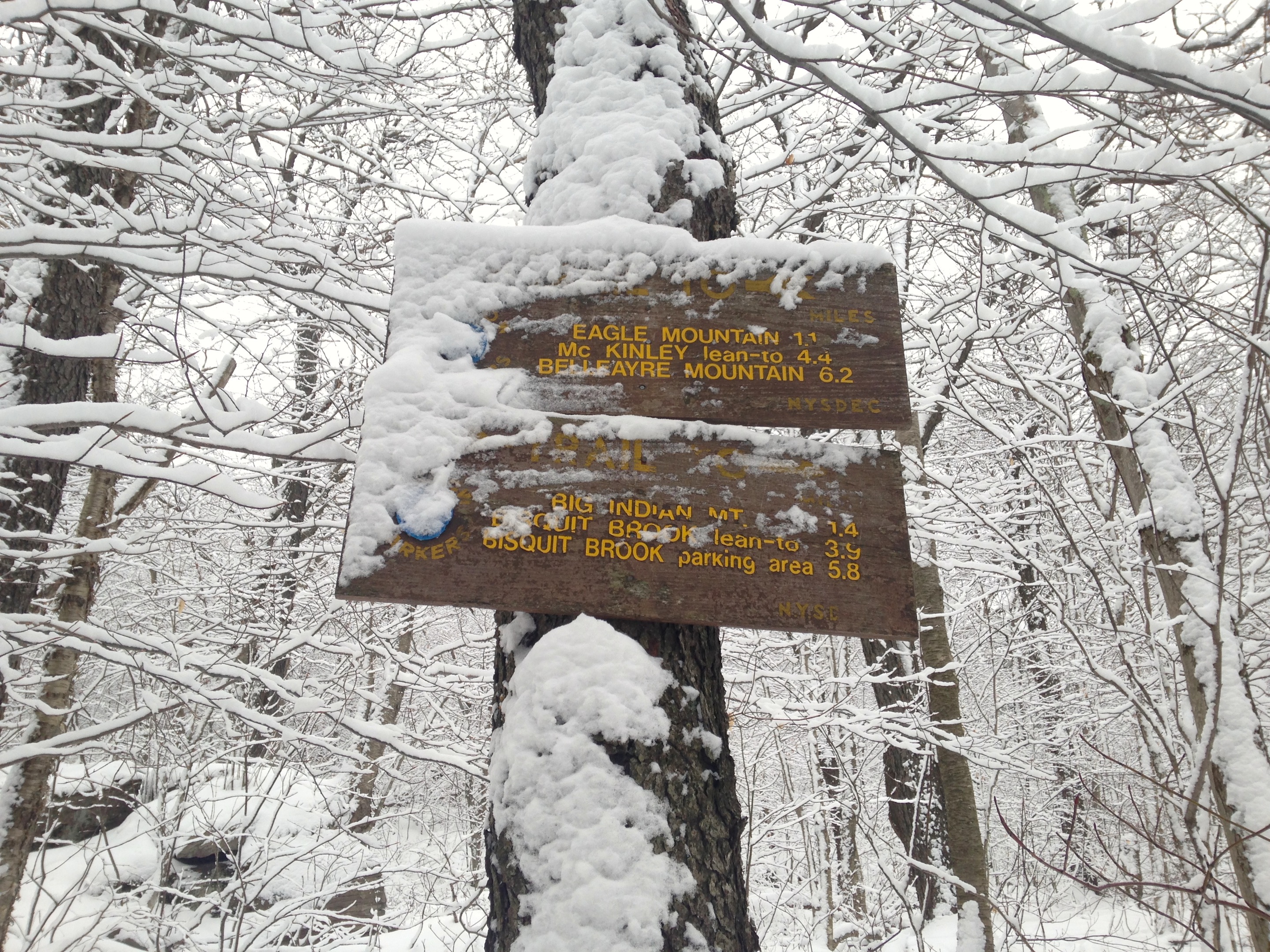
It’s easy to miss the 3500ft elevation notice on Panther Mountain for two reasons. One reason is that it seems to be split down the middle and folded together slightly so that, on the ascent to the summit at 3720ft from Giant Ledge, it’s facing away from you. Second, it’s at the top of a particularly steep and (more) rocky part of the trail, so if you’re focusing on your footing and not looking up, you will miss it. Also easy to miss is the summit sign at 3720ft. On and on I hiked, until I was about three hours in from the Giant Ledge parking area, so I decided to turn back. I’m no slow coach, so I knew something was wrong. It had started to rain and, not only was I slipping alot, a large tree lay across the trail. I took this all as a sign and walked back to the second Panther Mountain view, in about half an hour, where I found the trio of hikers from the Adirondacks that I had passed at Giant Ledge. They were having their lunch. “I didn’t reach the summit,” I told the lead hiker “This is the summit,” he said. “Where’s the sign?” I asked. “People steal signs,” he said with a shrug.
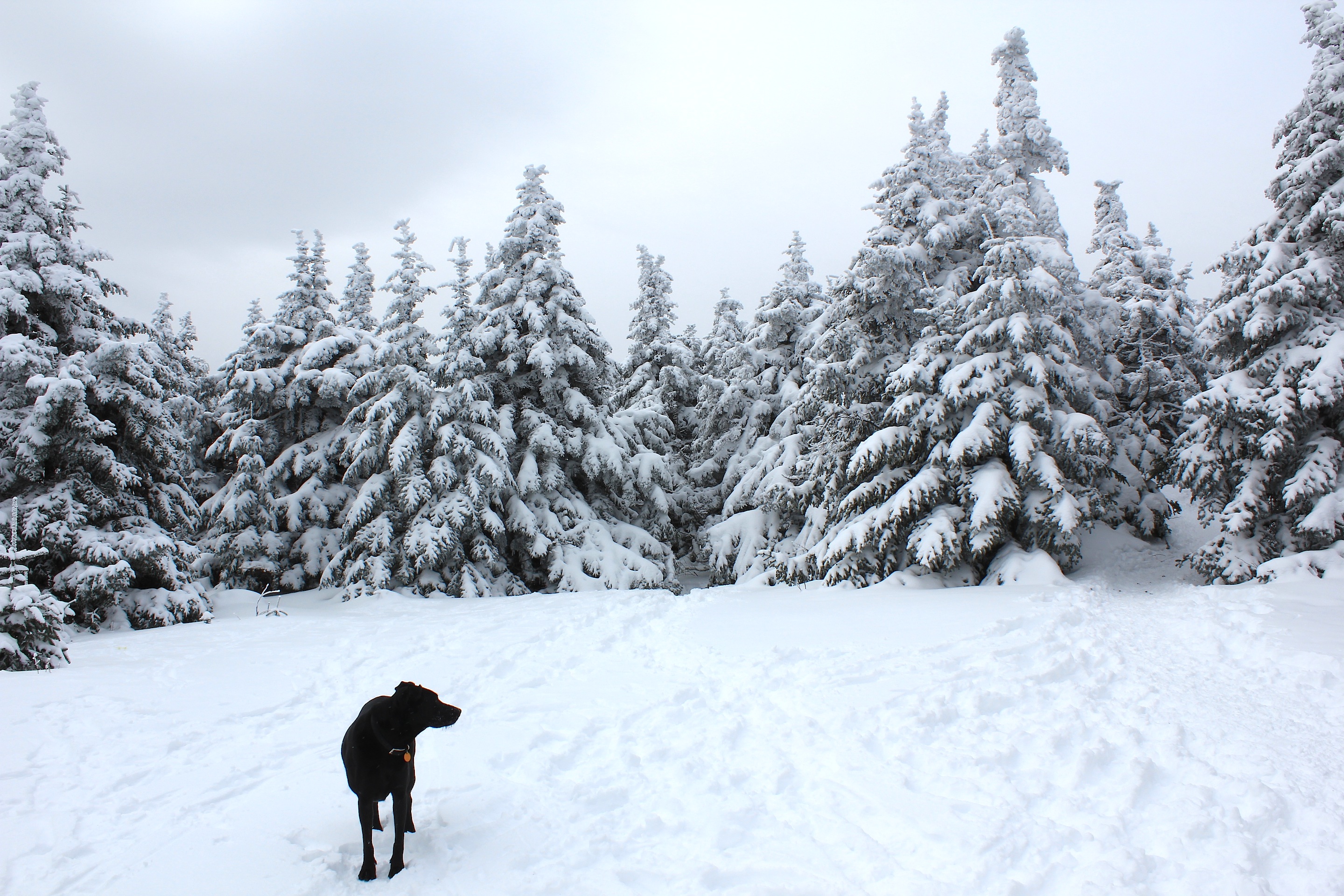
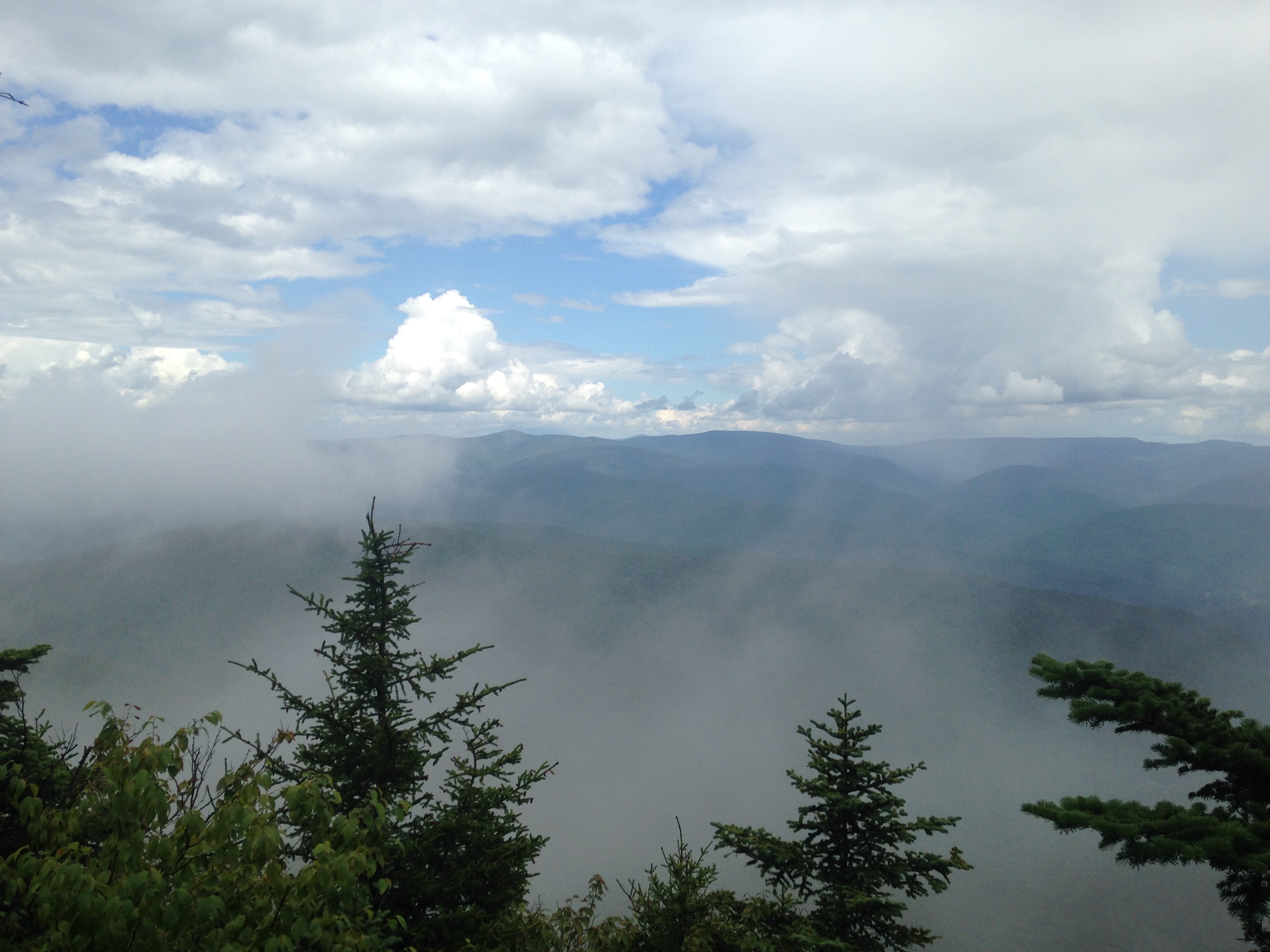
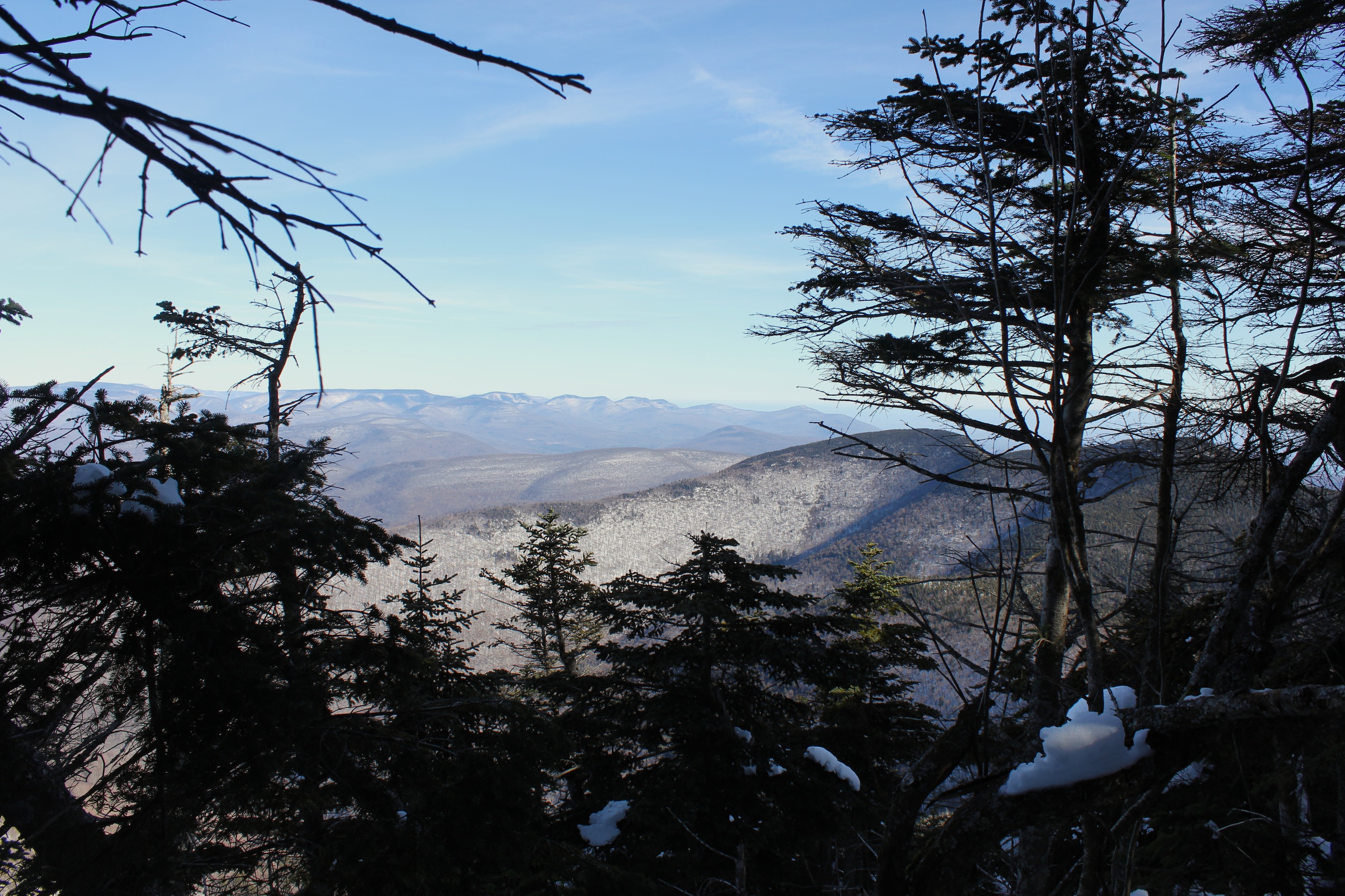
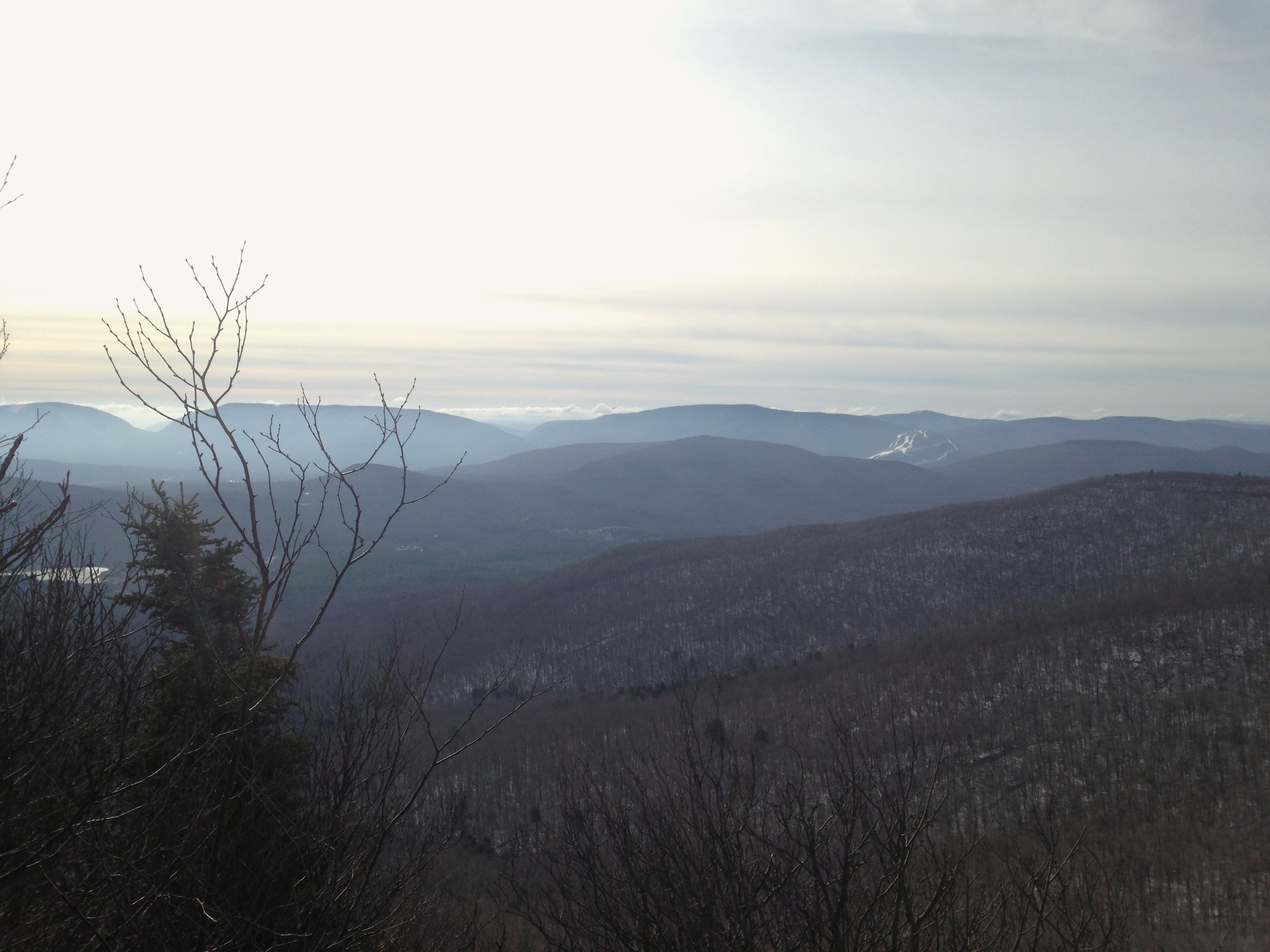
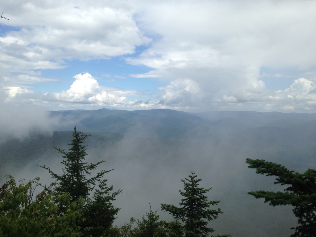
A second source just confirmed the rumour. Someone stole the Panther Mountain summit sign. Maybe I just confirmed the rumour, but I’m too exhausted to think about it much. My round trip took me almost six hours, but on the plus side, the rain had stopped by the time I had returned to the summit from the other side and the mountains were steaming. I sighed and gasped at the views, took pictures and ate my lunch. I didn’t stop for long though, because I realized I had over two more hours of hiking ahead of me. They call it a hike, but there’s a considerable amount of climbing involved on this trail. During brief pauses in my hike, I would take pictures of my dog disappearing at the top of what looks like a very large pile of rubble.

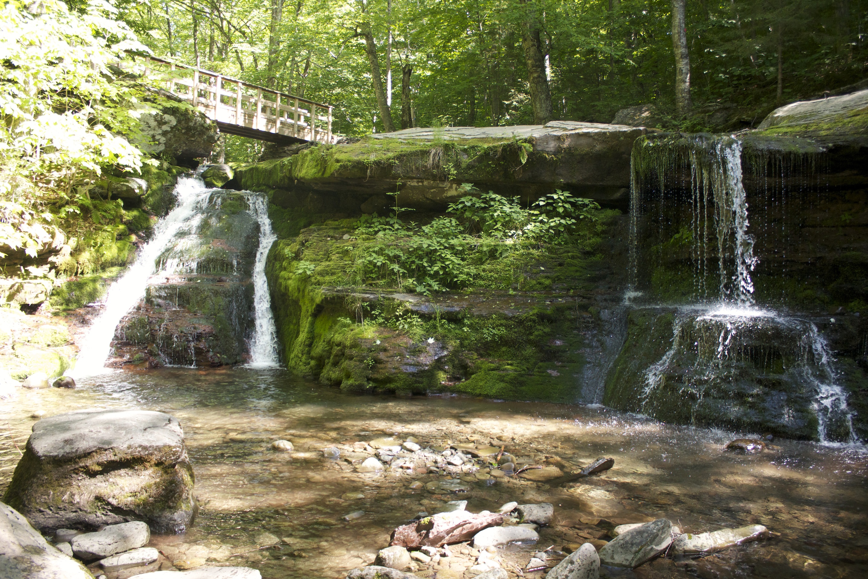
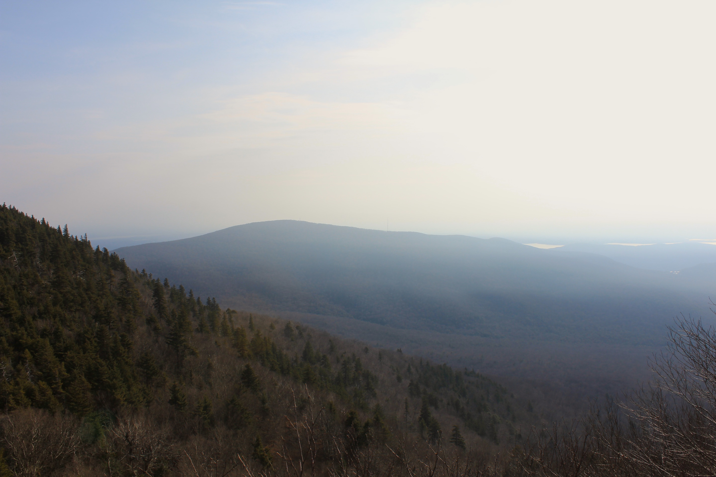
© J.N. Urbanski 11am
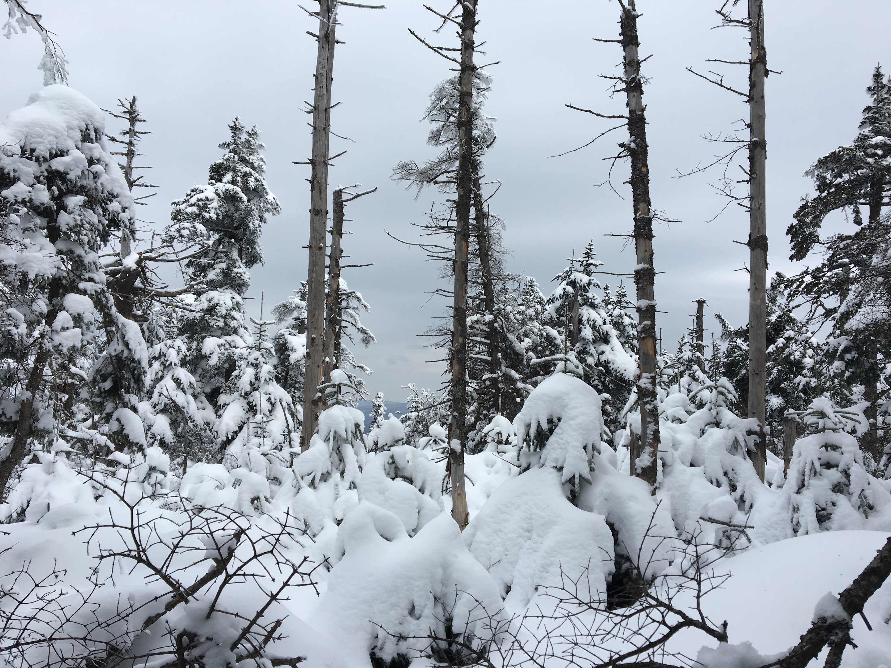
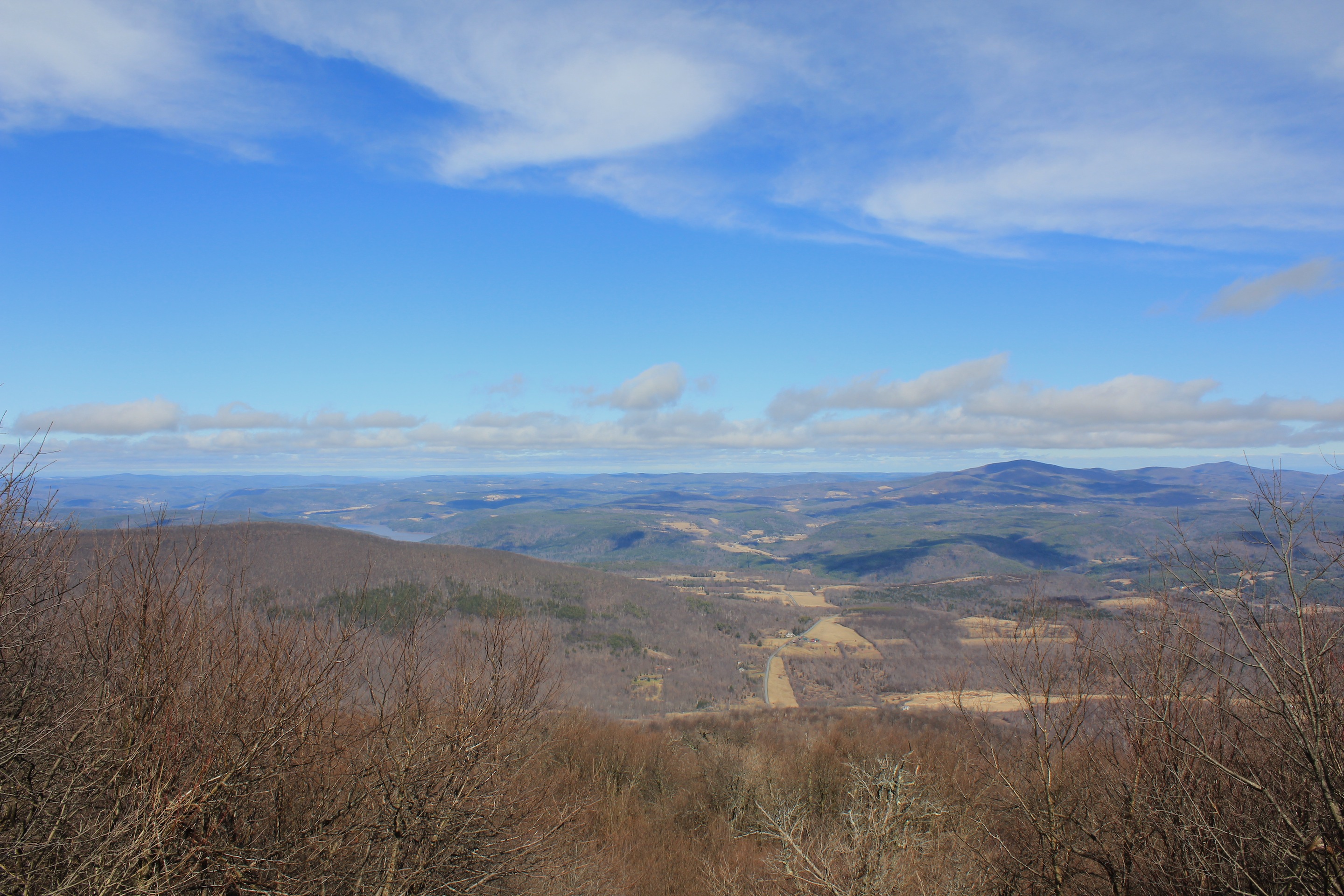
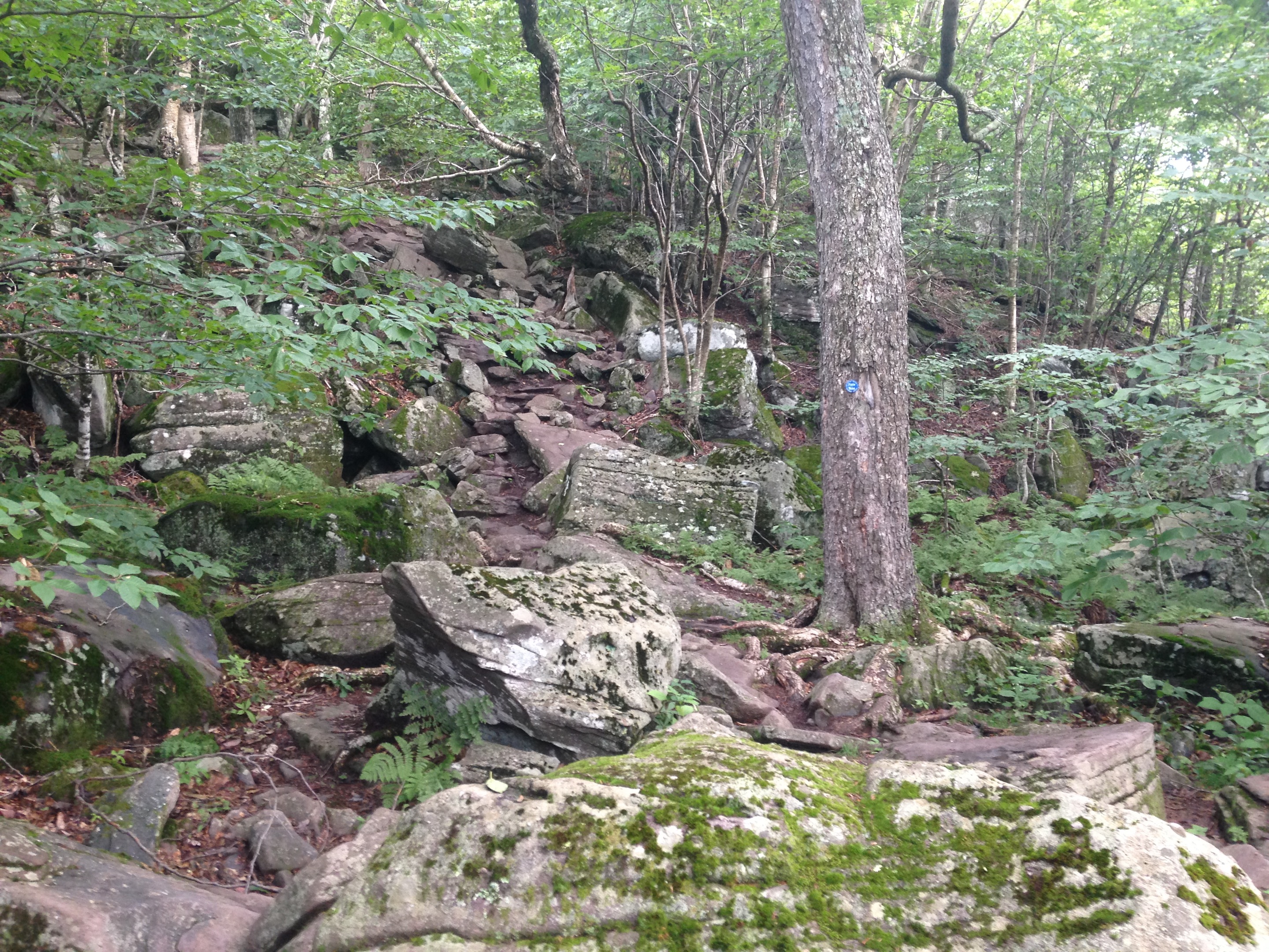
On the thigh-busting descent to the Giant Ledge parking area, I was certain Giant Ledge was so-named because a giant went up to the summit, broke off the top of the mountain and threw it to the base. It crumbled as it tumbled and rocks are strewn all the way down. Unless you’re as nimble as a sprite, hopping from one half-buried rock to the next, the descent is a tedious search for sure footing.
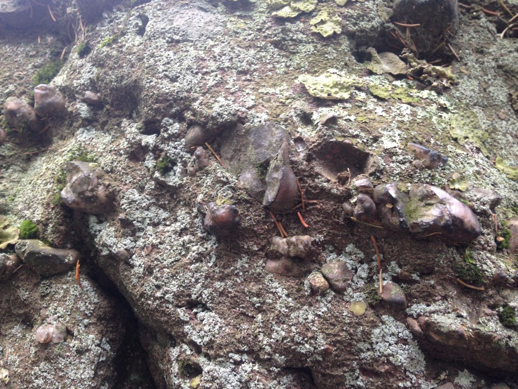
According to Catskill Mountaineer, Panther Mountain “sits on top of a 375 million year old meteorite hit. The meteorite was approximately a half-mile wide. It sits 3300ft below Panther Mountain. Most of the rock on Panther Mountain is sand stone, which is just deposited sediments. If you go down near the Esopus Creek you will see significant fractured rock, which is evidence of the meteor. You will not find this fractured rock on top of Panther Mountain. The mountain is earth that has risen over time”.
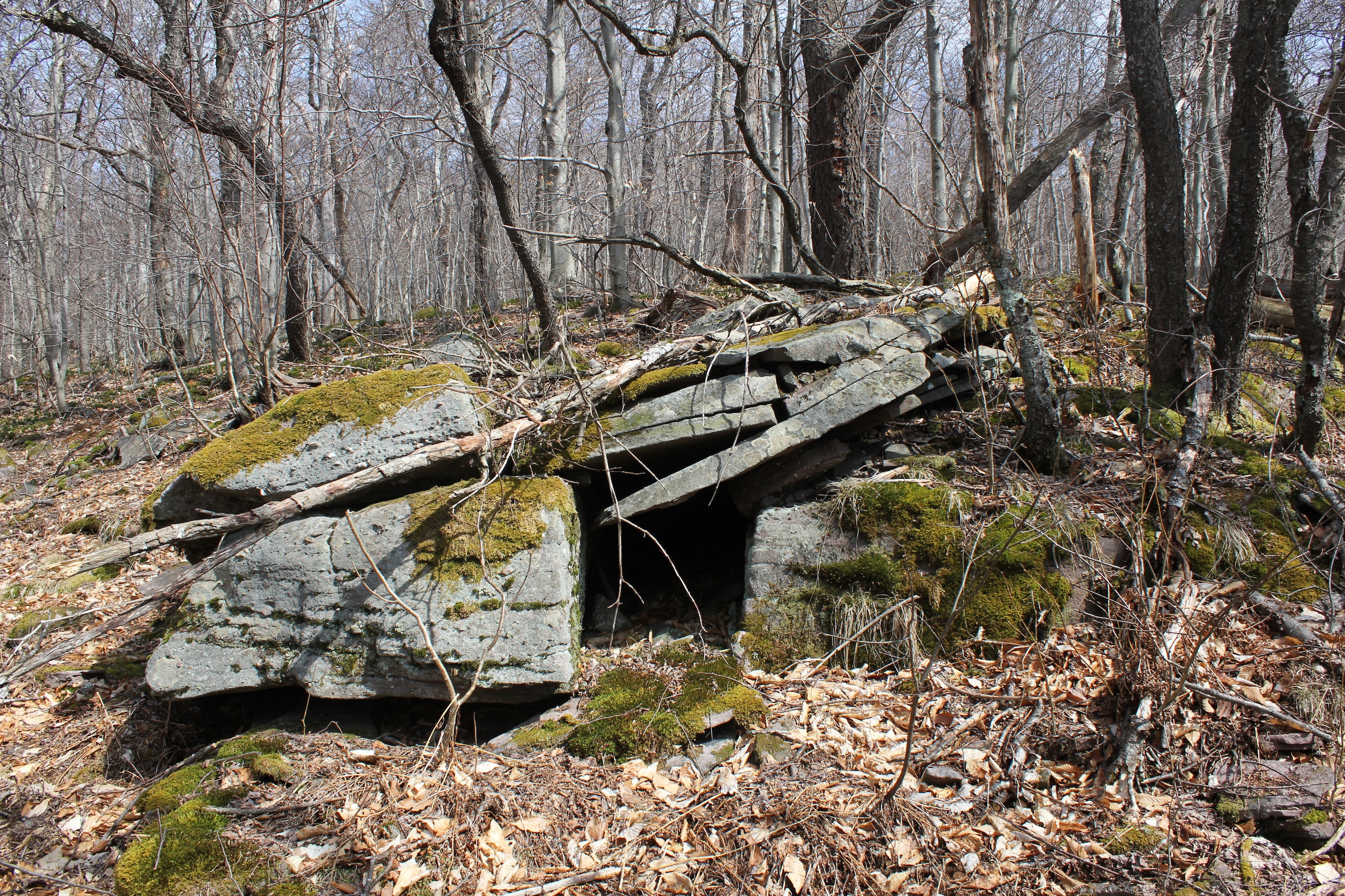
Look for large pebbles embedded in the rock.
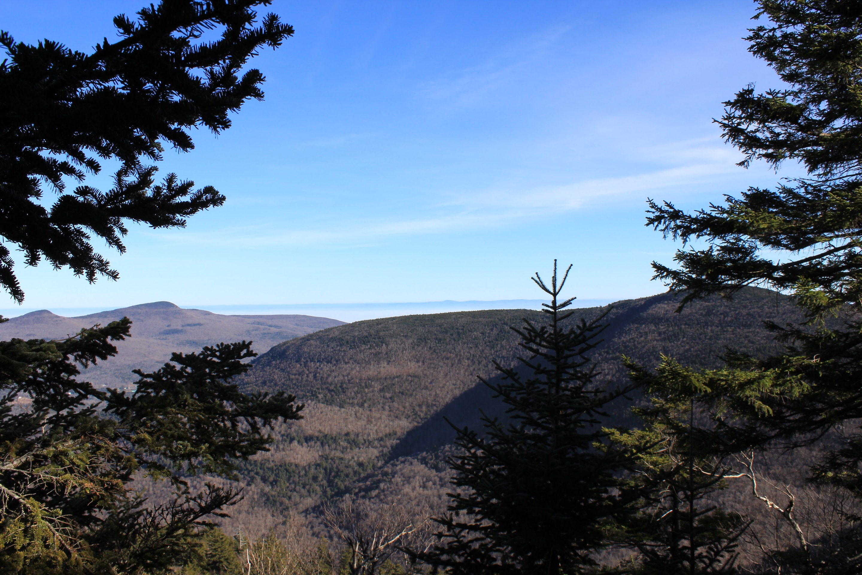
© J.N. Urbanski 1.47pm
At least I managed to have tea and a biscuit at Giant Ledge. Time for some yoga.

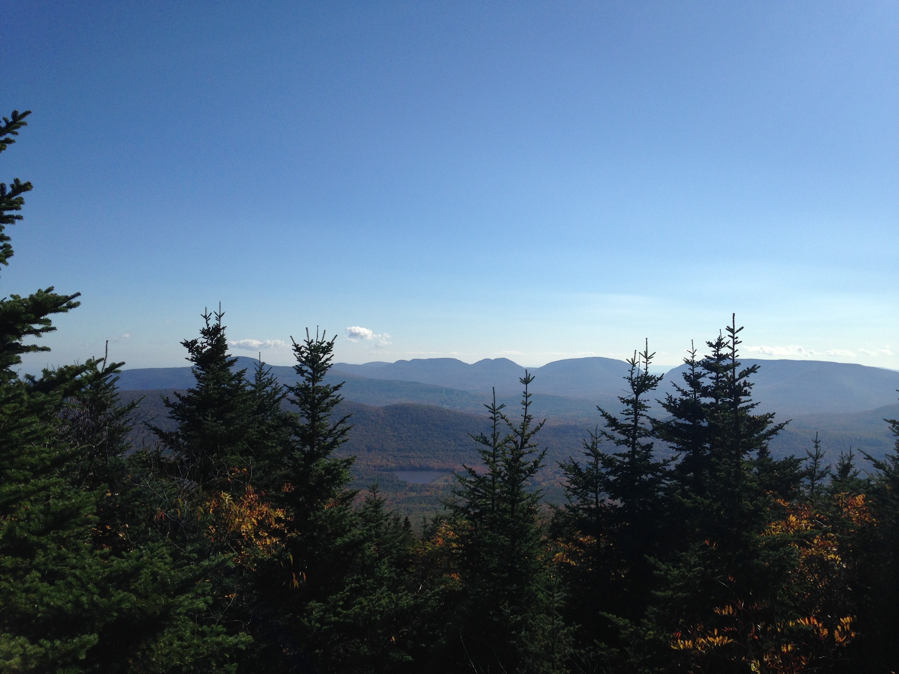
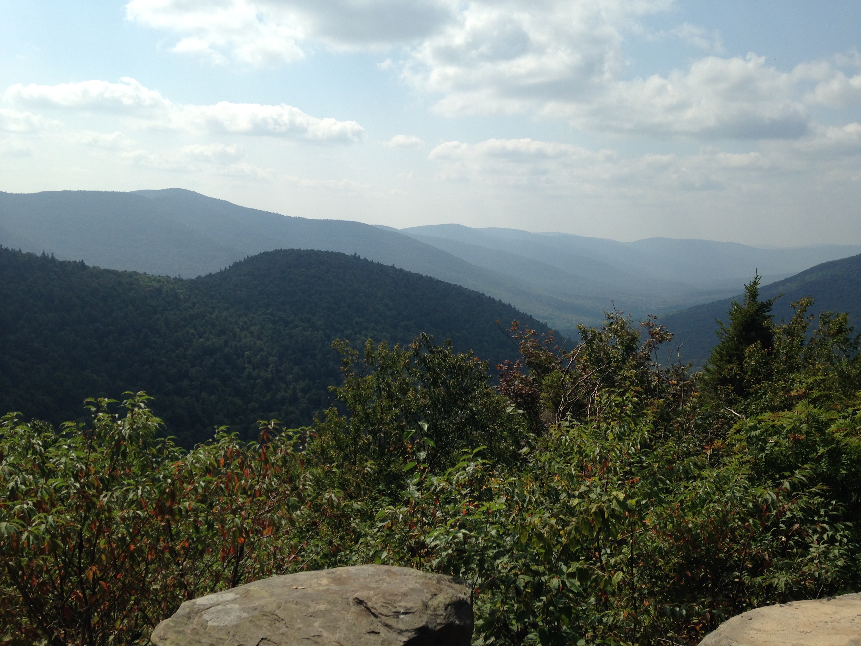
© J.N. Urbanski 8/12/15 11am