© J.N. Urbanski
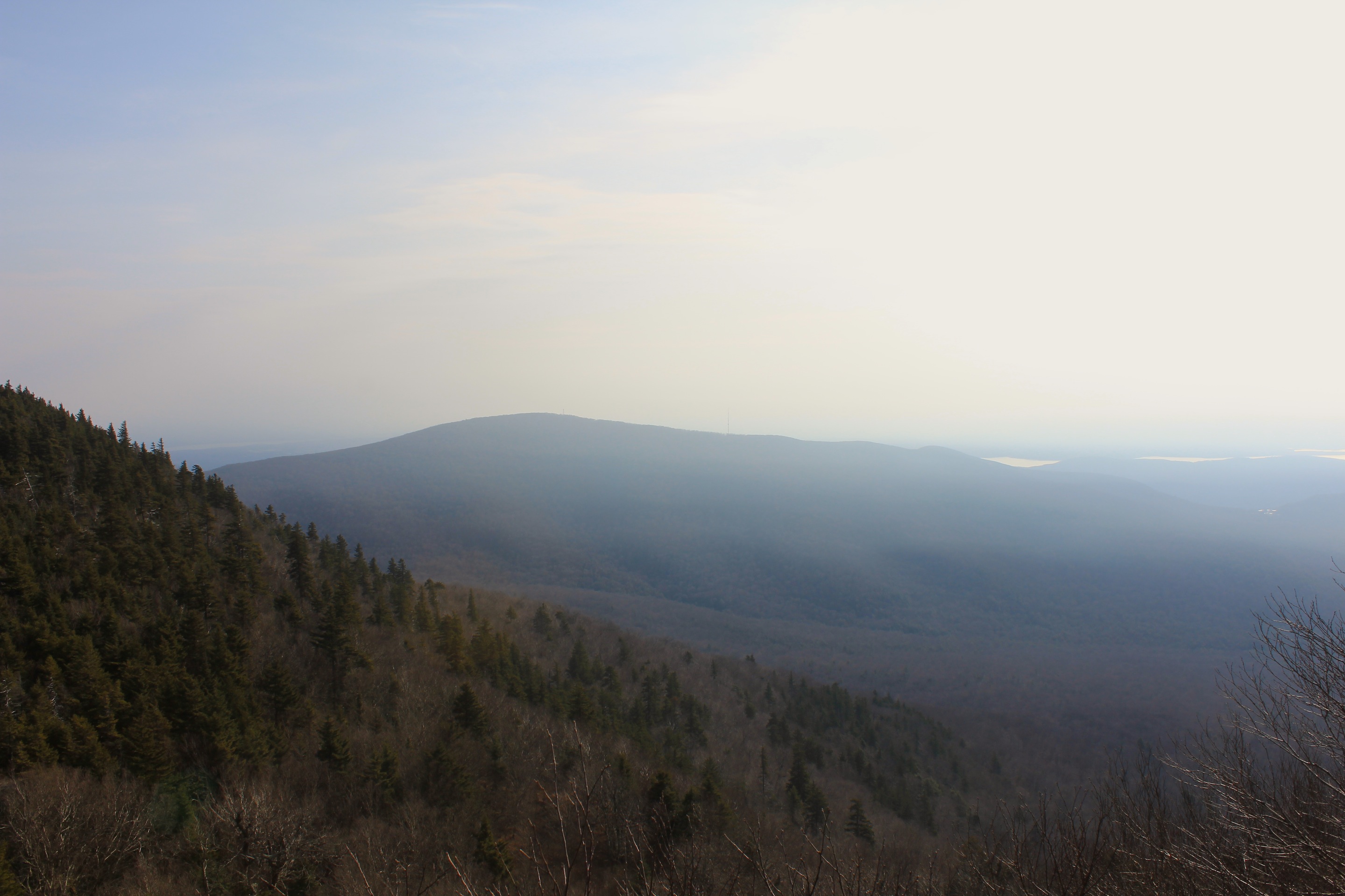
It’s difficult to decide what was more remarkable about a hike up Indian Head Mountain during hunting season. Would it be the periodic burst of gunfire from the local sportsman’s club every few hundred yards of my 13th peak over 3500 feet, like distant, anonymous cheerleaders? Perhaps it was the burly, camouflaged hunters strolling nonchalantly around the parking area, with loaded weapons over their shoulders, incongruously set against our hippy neighbors in their tie-dye. Possibly it was the roadside pile of dead deer we passed on the journey, but I think it was actually the unseasonal weather: t-shirt warm and humid at 55F by 10am on December 13th. I had no mobile phone service at lunchtime, so I could not tell what exactly the temperature was, but it felt like at least 60F. We’ve had a smattering of snow this year, but thus far that has been all. Last year was a strikingly different story as you can see here from our Daily Catskills picture of the same day. The lower parts of the trail to the summit and back down were wet and there were frequent stream crossings, but they were very low.
I’m not used to the percussion of target practice piercing the otherwise peaceful ascent on a Sunday hike, but I was taking the Devil’s Path, so I was mentally prepared. Who wants to trot in the Devil’s footsteps? Some might call it the road most travelled. Actually, it sounds like a challenge and it was, but also fun if you do the loop and meet hikers that you had passed halfway around who were heading in the opposite direction.
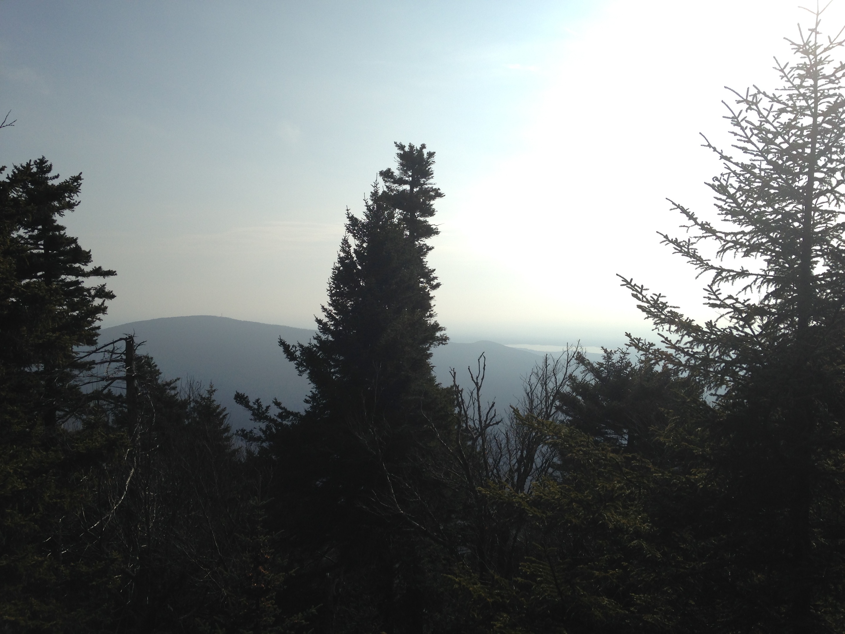
I was planning to do Twin and Indian Head together, but one knee refused and then an ankle chimed in, but what I did instead was actually much better for the photographer: more views mostly stolen through softly bristled Christmas trees and a ledge offering panoramic views of the Hudson Valley at Sherman’s Lookout. If the sun had made a stronger effect the vistas would have been even more stunning. The Devil’s Path is in parts a climb up sheer rock faces, in between them and down them and notably a bit too precipitous for dogs. I’m glad I have an experienced hiking dog and brought his leash just in case. Even the most agile dog will need a helping hand in certain parts, especially the sheer drop after Sherman’s Lookout. A fellow hiker had to carry his husky down and I had to closely direct my dog. I probably won’t be doing this hike again anyway mainly for this reason and because it had to be my least favorite peak thus far even with the views.
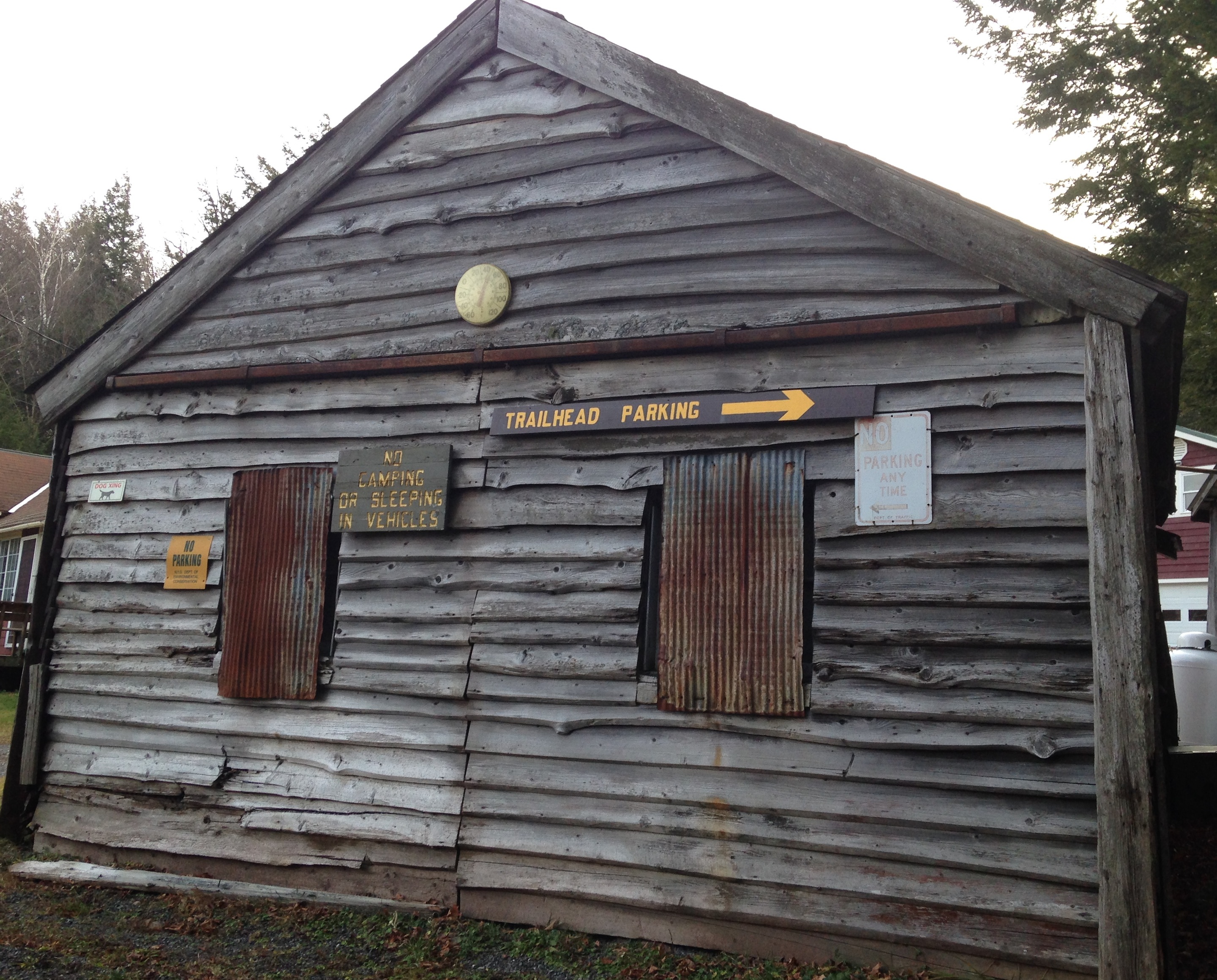
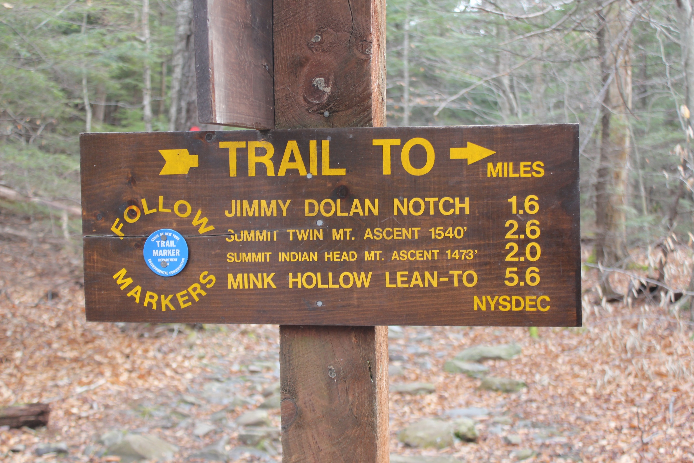
From the Prediger Road parking area take the red blazed Devil’s Path south for 0.2 miles and then take the blue blazed portion in an easterly direction. At Jimmy Dolan Notch take a left on the red blazed path and all the way around back to where you parked. To get to Prediger Road parking area from Route 28, take the exit into Phoenicia and take a left onto the 214 at the Phoenicia Pharmacy. Take the 23A almost to Tannersville and take a right to Bloomer and onto Platte Cove Road.
© J.N. Urbanski
© J.N. Urbanski
© J.N. Urbanski
© J.N. Urbanski