© J.N. Urbanski
There are a handful of naturally made trails on and near the summit of Fir Mountain, which oddly make you feel like you’re back in civilization once you’ve reached the summit, a feeling that’s short-lived. Fir was our first bushwhack and it’s less of a bushwhack than a sapling-whack and they’re not being whacked, you are. At this time of the year, the saplings are bare but you have to push on through them and continually get whipped in the face. Catskills bushwhacks are climbs to the summit that have no trail at all and no signage. The saplings are a reminder of how much work goes into trail maintenance of all the marked trails by volunteers from wonderful organizations like the New York New Jersey Trail Conference.
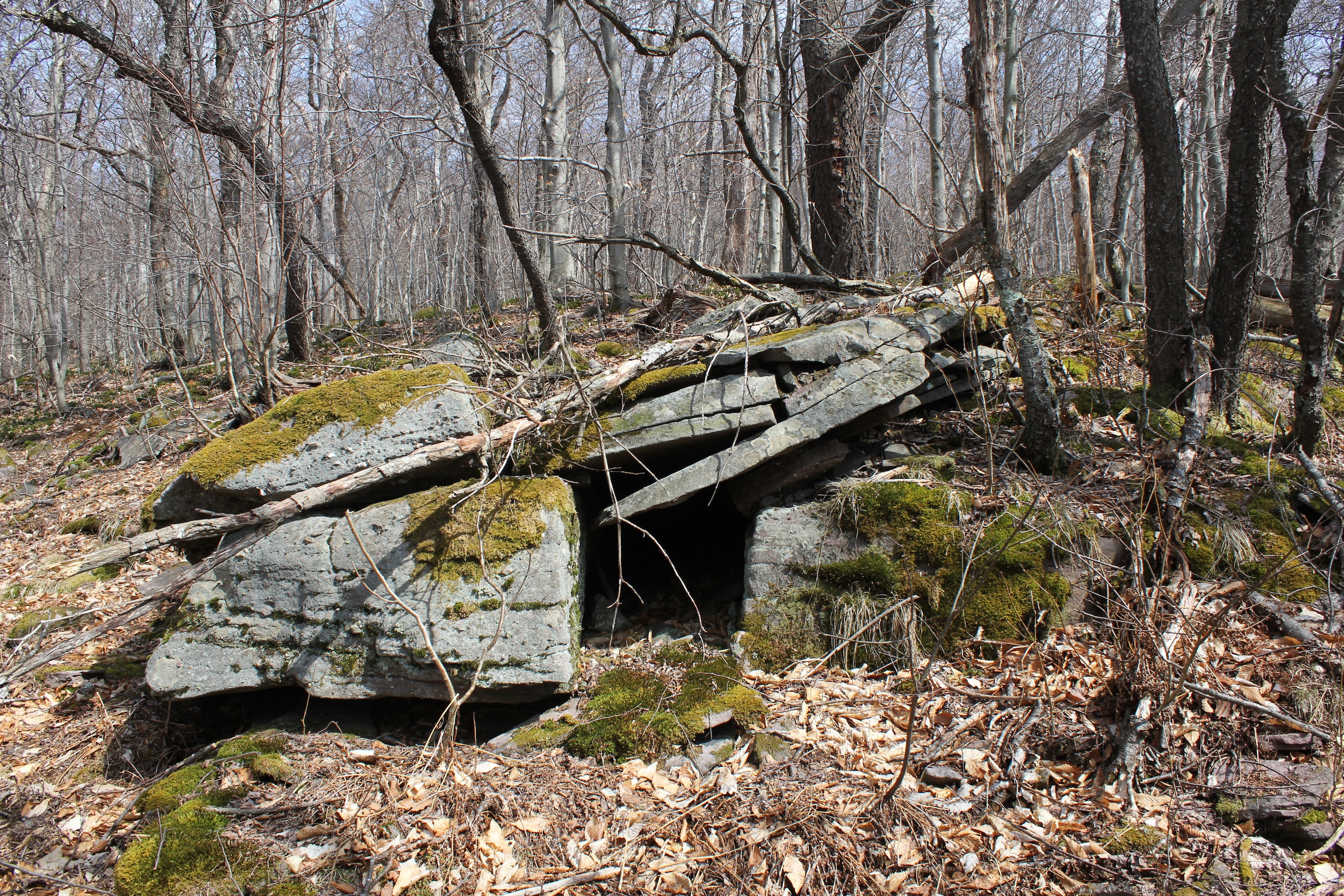
Going off-trail for the first time was unnerving, not only because we were relying only on a map and a compass but because I hadn’t realized how comfortable I had become following the marked trails of the Catskill 35. There are plenty of hikers using GPS and we encountered a duo using it on the hike to Fir, but isn’t that cheating? If it’s not cheating, it should be in my humble opinion and not because our fellow hikers that day started after us and beat us by a few minutes to the summit. What happens if your gadgets stop functioning? Or you lose service on your cellphone? There’s a handy, person-sized cave near the summit of Fir if they do, or if you’re too tired to descend.
As usual, I consulted Catskill Mountaineer to find out how best to climb to the summit of Fir Mountain. I’ve used this website since I began hiking the Catskills nine months ago and their directions have always been thorough. This time I printed out their directions in addition to taking the map and compass.
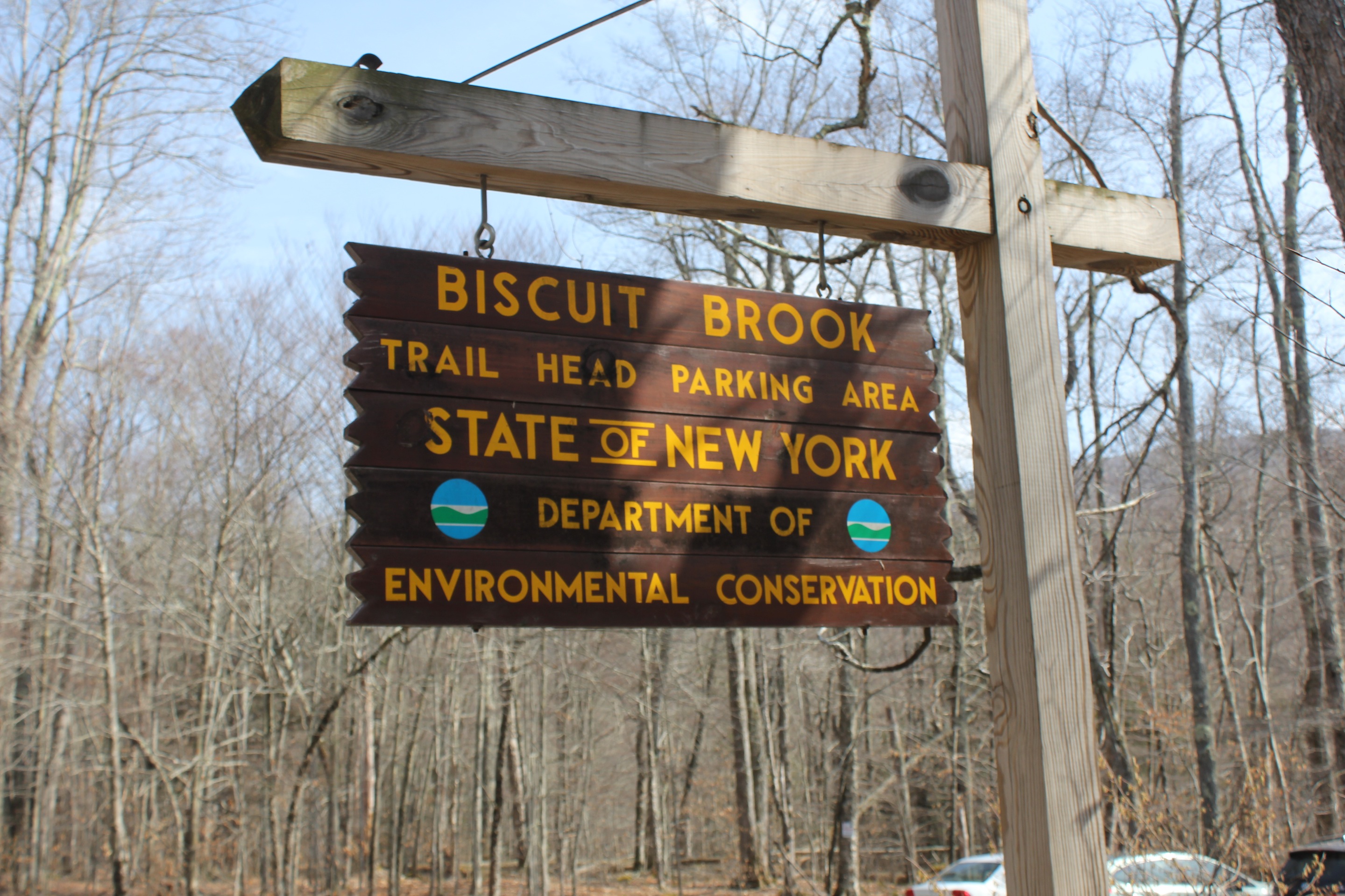
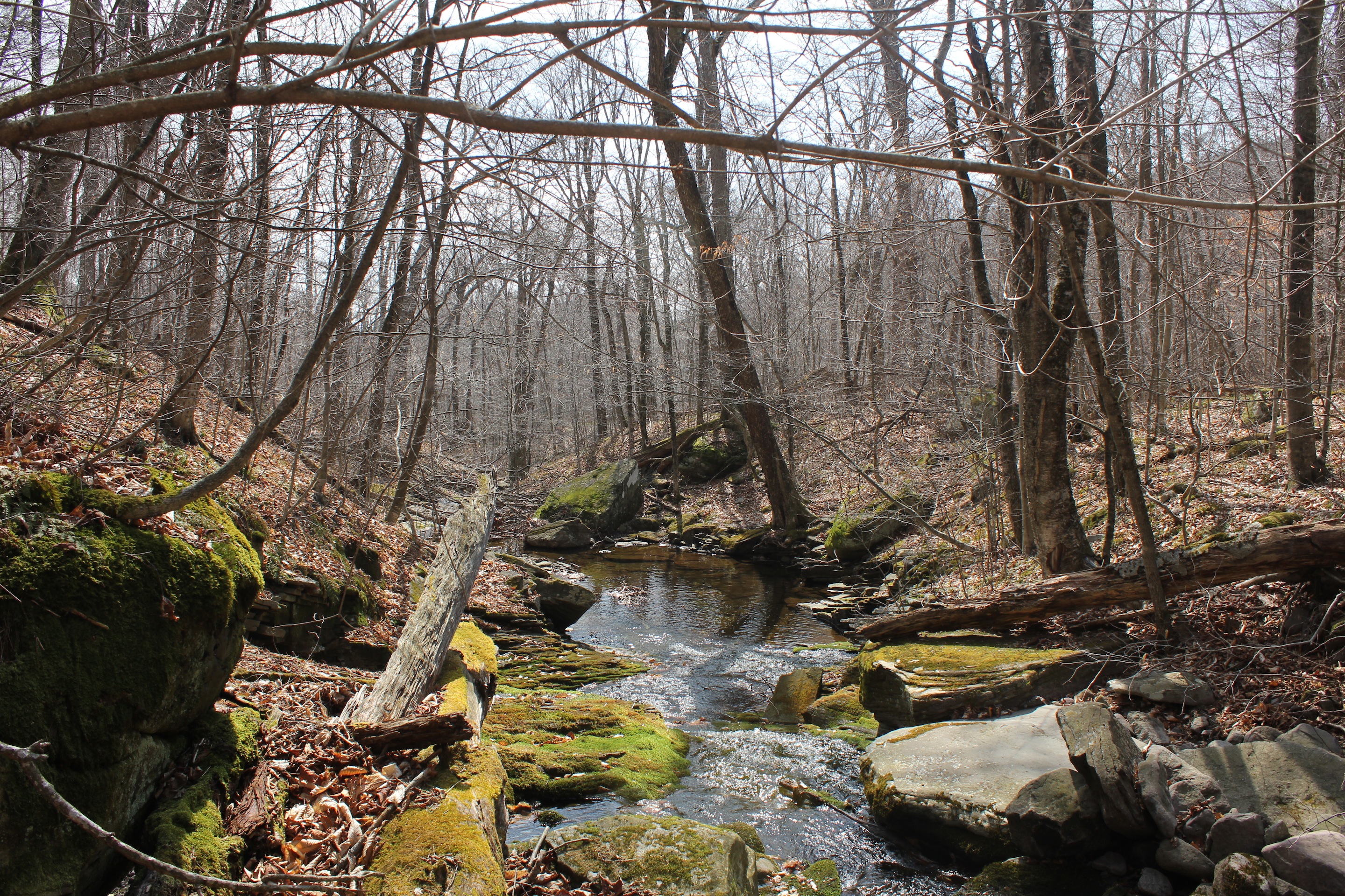
The climb to the summit of Fir at 3620ft can be tackled a number of ways. One of the most popular ways is to hike to Big Indian by approaching that peak via the Seager Trail from Arkville and then pressing on past Big Indian, following the Catskill Divide, to Fir Mountain. We started from the end of the blue-blazed Pine Hill West Branch Trail on Route 47 and hiked until we had to leave the trail just after the sign to the lean-to, and over the first stream crossing, at 2.05 miles in. We crossed over the stream (Biscuit Brook) and continued north to Fir. We found young trees that hikers had snapped in half to mark their way and pink ribbons attached to branches. We did none of this and got lost on the way back, but in the best possible way. Our ascent was relatively easy. We followed the stream, veered slightly left and up to the summit. You can also follow the ridgeline once you’ve ascended to the appropriate height in the first mile or two, which we considered. The fact that the trees are bare makes a tremendous difference. With the directions, we were able to see Doubletop, Big Indian and deduce where Fir was. The canister is on the north side of a tree, which is the middle of a clearing a few minutes from the summit. Sign the notebook that is inside the canister.
Descending, we were tired, and I veered off west too far and we hit the other branch of Biscuit Brook flowing in a southerly direction. This kind of error is much like being Mr Lucky getting lucky on National Lucky Day. We followed Biscuit Brook south to rejoin the blue blazed Pine Hill West Branch trail and back to the parking area. Not only was it an enchanting hike to be surrounded by so many gorgeous mossy waterfalls cascading down the mountain with us, but it was a relief for the dog, who was nervous at having left the trail in the first place, to frolic in the water on the home stretch.
One bushwhack down, eleven to go.
© J.N. Urbanski
© J.N. Urbanski

© J.N. Urbanski