The hike to Southwest Hunter was beautifully serene until halfway up The Devil’s Path I suddenly found myself in the midst of what I thought might be – but was not – young Giant Hogweed patch and froze in terror with my elbows in. I avoided touching it, but the dog raced on ahead of me and brushed through all the leaves that obstructed the path. “Giant hogweed!” I shouted to my hiking mate, who happens to be my husband. “Don’t touch it! Don’t touch the dog!”
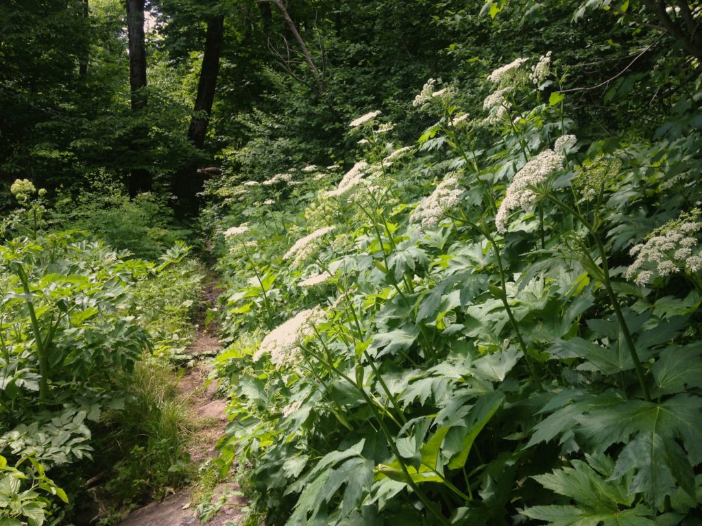
“OK,” he said, nonplussed and walked on, clearly not fussed at all. I shouted out the consequences of brushing past Giant Hogweed to his back as he retreated into the forest brushing it with his bare arm. I proceeded gingerly through the patch passing what looked like enormous coriander leaves on stalks topped with large, distinctive, white floral umbrells.
The plants were six feet high and far too big to be poison hemlock. Out came the mobile phone, which remained raised in the air for a while and – lo and behold – you can get a faint signal on certain spots on the Devil’s Path and the occasional strong one. Good news. A spousal debate over tiny Internet images of Giant Hogweed ensued that became more annoying than the prospect of being burned by a poison plant…
I decided to look up Cow Parsnip instead and judging by the stalk, I think we had our match. Cow Parsnip is also a skin irritant so it should be avoided.
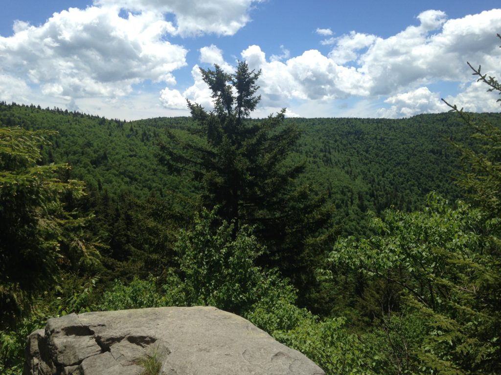
Southwest Hunter is a short, unmarked but well-worn trail off The Devils Path on the southerly section of a loop that will take you to Hunter Mountain. You can approach the beginning of this bushwhack from the east or west, but I really love a view and Geiger Point (pictured above) is on the way if you approach on the Devil’s Path from the west and it’s a stunner.
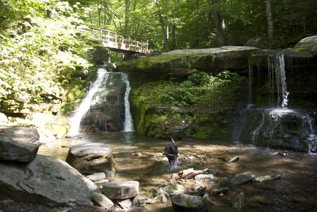
I also never miss an opportunity to drive down the picturesque Spruceton Road and right at the end of this road is the parking area for Diamond Notch Falls. The mile-long walk along West Kill to the falls is essentially a calming, stress-busting tonic: a multitude of tiny waterfalls on a gentle incline. Then you arrive at Diamond Notch itself, which is a mossy, double waterfall with a bridge across the top. It’s a gorgeous place to set up a picnic, take off your boots and put your hot, sweaty feet into crystal clear water.
There’s a noteworthy difference to this trail from other trails too. The special aspect of this part of The Devil’s Path is that you really feel like you’re in the middle of an enormous forest. With other trails, there’s often an obvious, steep drop on one side that tells you that you’re on a mountain. On this trail, you feel like you’re really in the thick of it.
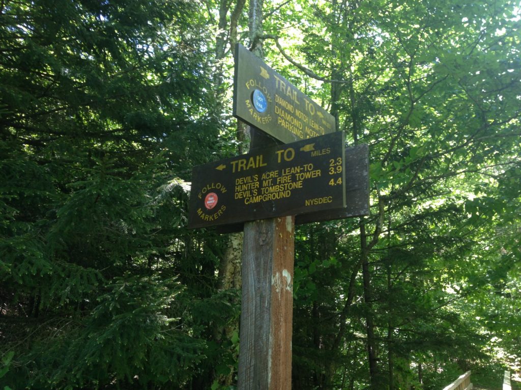
From the last parking area at the end of Spruceton Road, walk on the blue-blazed Diamond Notch trail until the falls. Then, at the falls, take the red-blazed Devil’s Path that veers off to the left before the wooden footbridge. Don’t go over the footbridge. Geiger Point is a stunning view on this path that’s easy to miss, but if you have a tracking dog, he will notice for you and take a sharp right turn. You’ll find this right turn down to the Geiger lookout after three or four large, patches of deep mud into which hikers and volunteers have sunk large branches to make it easier to walk. If you don’t have a dog watch out for the sharp right turn down to the view a short distance after the mud.
The short path to Southwest Hunter is a switchback (pictured below) with a cairn on the right, before a red-blazed tree immediately in front of it, marking the spot where you turn. After about half a mile, you will come to another cairn with branches crossed and blocking your path. Turn left and head right up the mountain to the top, where you will find the canister and sign in.
The patch of what we think is probably Cow Parsnip is about halfway on the red-blazed Devil’s Path. Read more about Giant Hogweed and Cow Parsnip differences here.


Pingback: A Post-Hike Beer at Westkill Brewing | UPSTATE DISPATCH