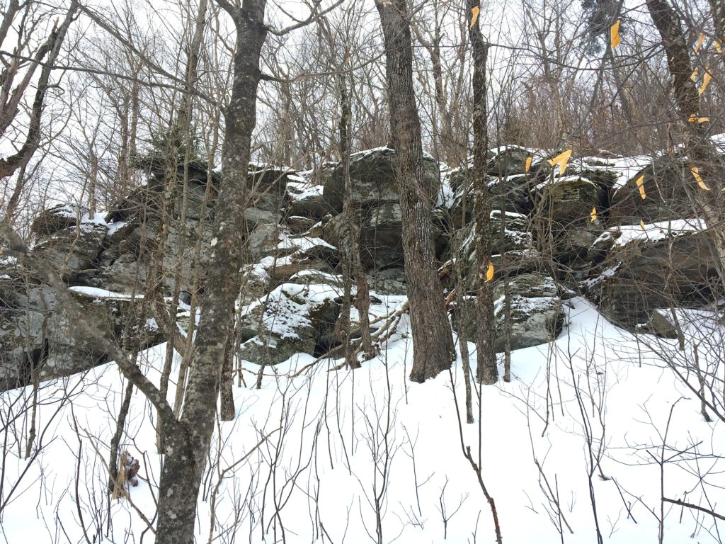
It’s good to know when to give up and turn around and yesterday was one of those days. Rusk Mountain, a bushwhack that seemed easy on paper, was an almost vertical ascent the way we went, covered in a layer of thick snow, making it difficult to maintain traction even in snow shoes. After an hour of climbing, slipping, sliding and clinging to tree branches, the final straw was the formiddable rock ledge (pictured above) that greeted me about 20 minutes from the top. There were tracks up the side of this ledge from hikers that were ahead of us, but the snow was crumbly and there were no tree roots or rocks for support. Plus, I was cold, fatigued and we had started too late, so we were in a bit of a rush. Last time I ignored the conditions, I slid 30 feet down a mountain and slammed into a tree. I learned my lesson back then.
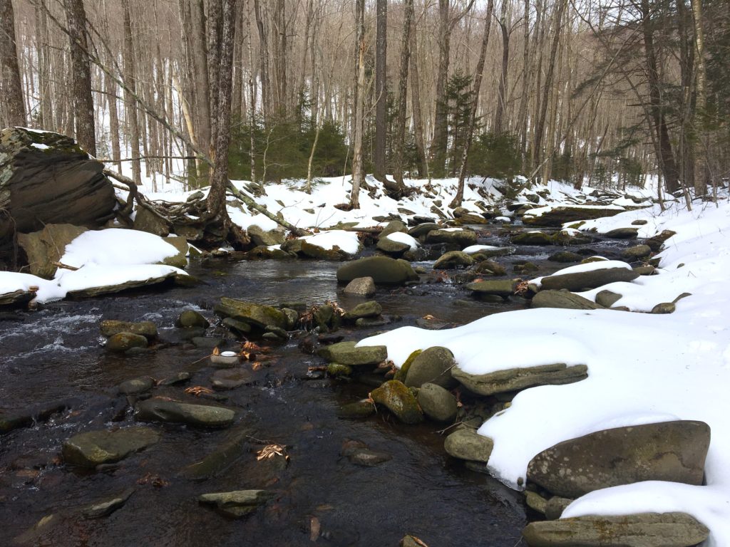
We began at the start of the trail to Hunter Mountain from the second parking area on Spruceton Road – the one with the horse-mounting station. Not only is this part of trail beautiful, with a wide, rushing stream, but the drive to the parking area is beautiful too. Spruceton Road, is home to a multitude of picturesque farms, churches with family graveyards and an inn (with a bar), all nestled in a wildly gorgeous valley covered in, um… Spruce? According to two hikers who were descending over the seemingly insurmountable ledge as we were turning around, Spruceton Inn has a tiny bar and they were on their way to it. These two ladies were encouraging, but it’s always a good decision to turn around if you are unsure. Winter hiking has to be taken seriously, bushwhacks even more so.
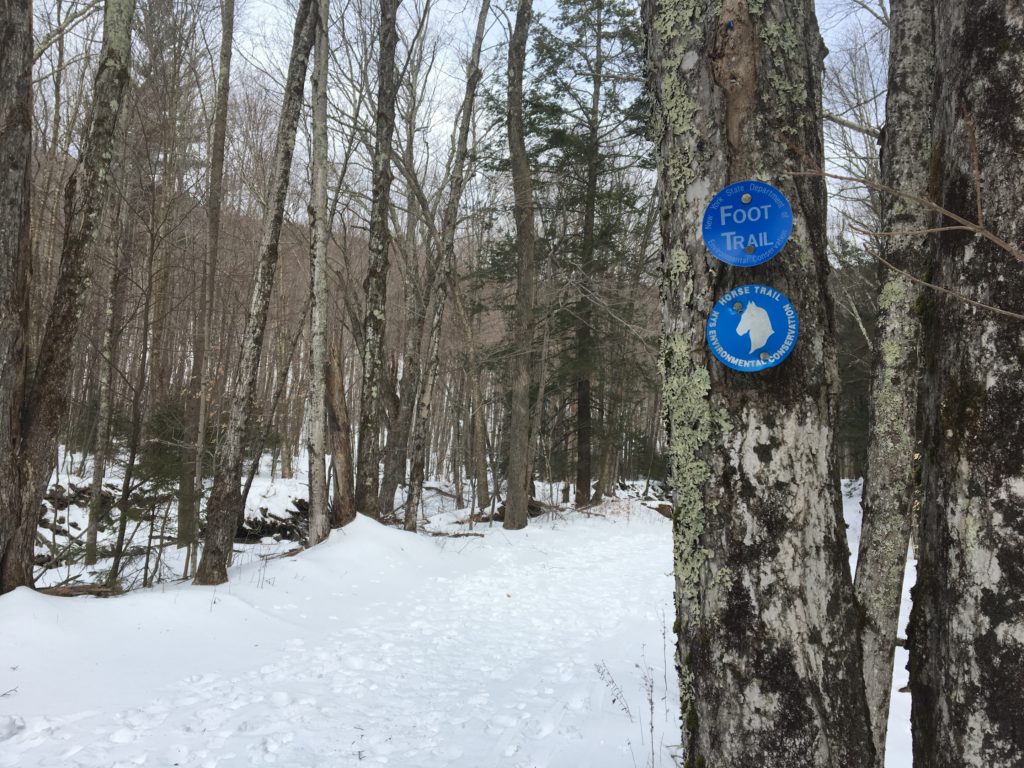
So we hiked the gorgeous blue-blazed Spruceton trail, which is a horse trail too, along Hunter Brook to the hairpin turn about three quarters of a mile in. We turned off the trail at this bend, crossing over the left fork of the brook that points towards the mid-point of the Rusk Range, followed it up until it stopped, then turned directly northwest towards the summit. As we rose higher, we could see the surrounding ranges rise with us: Hunter, East Rusk and West Kill along the Devil’s Path. On our descent, we met fellow hikers who had reached the summit of Rusk and they had gone a different route. They went behind the parking area, left of the trail crossed over the brook and followed what they described as a gentle incline almost directly north to the summit. Another fellow hiker later commented on my Instagram feed that he had reached the ledge and decided to hike much further west around the ledge and then climb up tree to tree. All good notes for next time.


Pingback: The Catskill 35: Rusk Mountain | UPSTATE DISPATCH