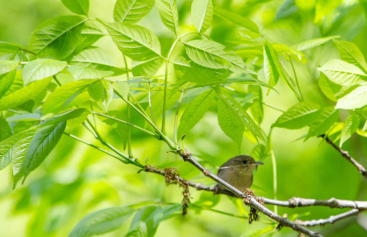
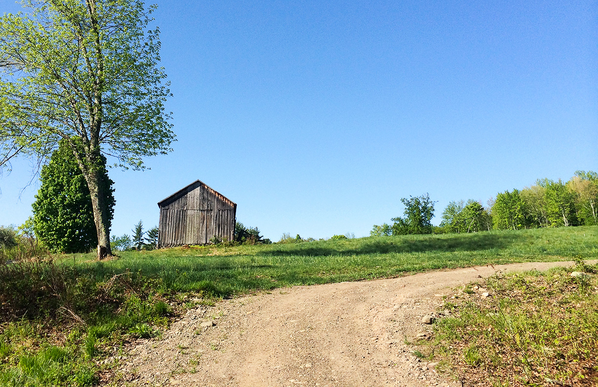
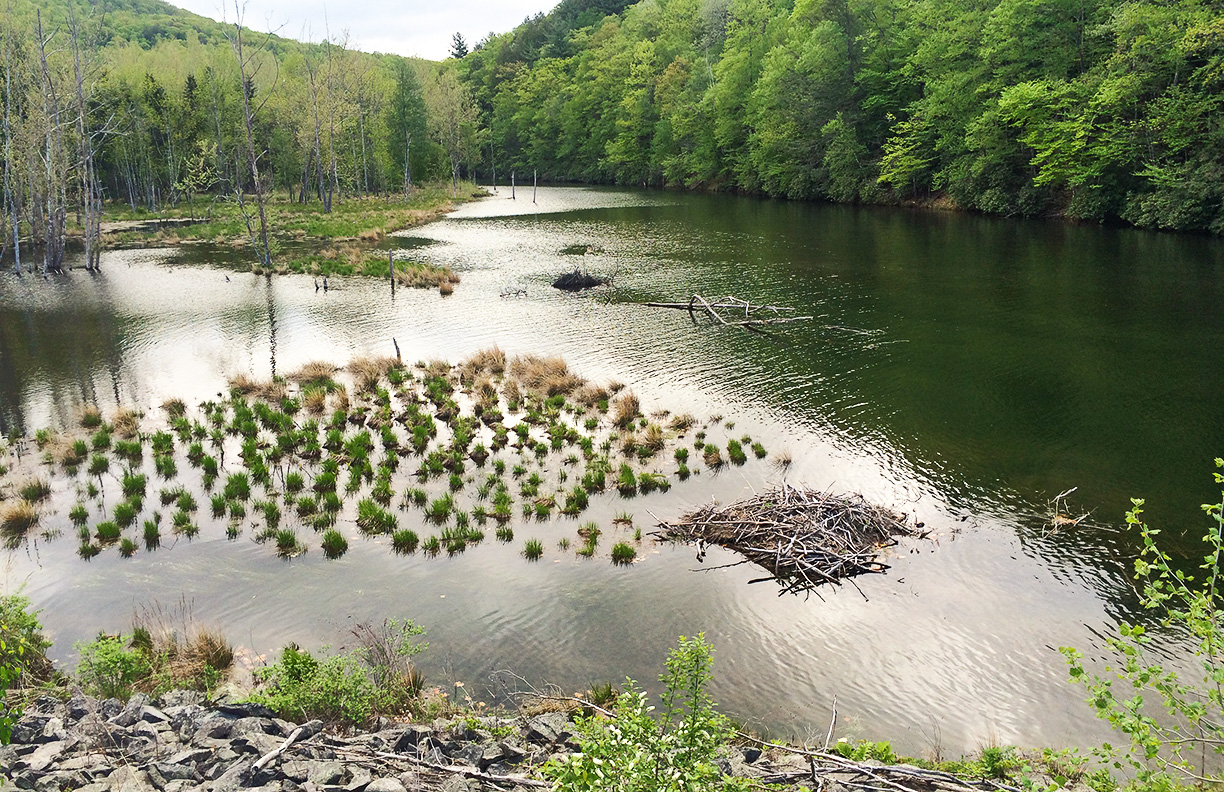
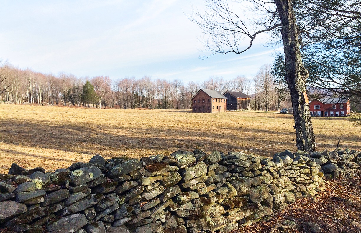
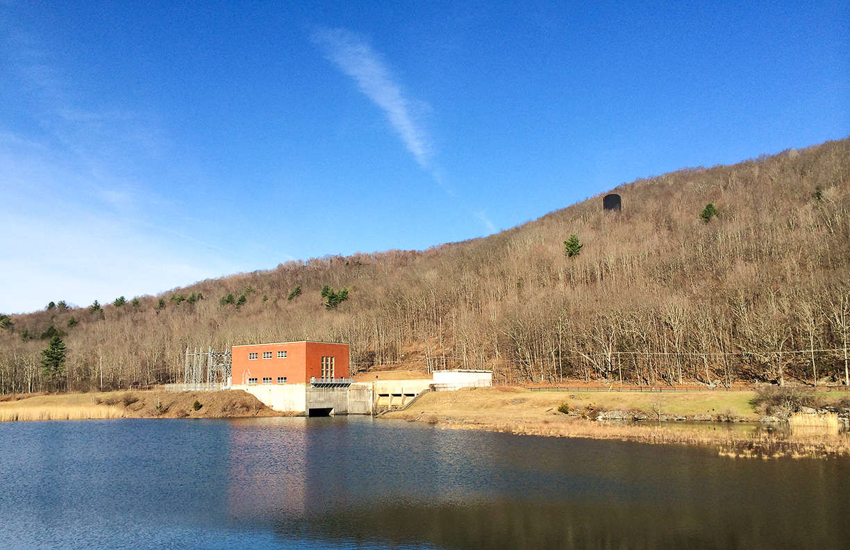
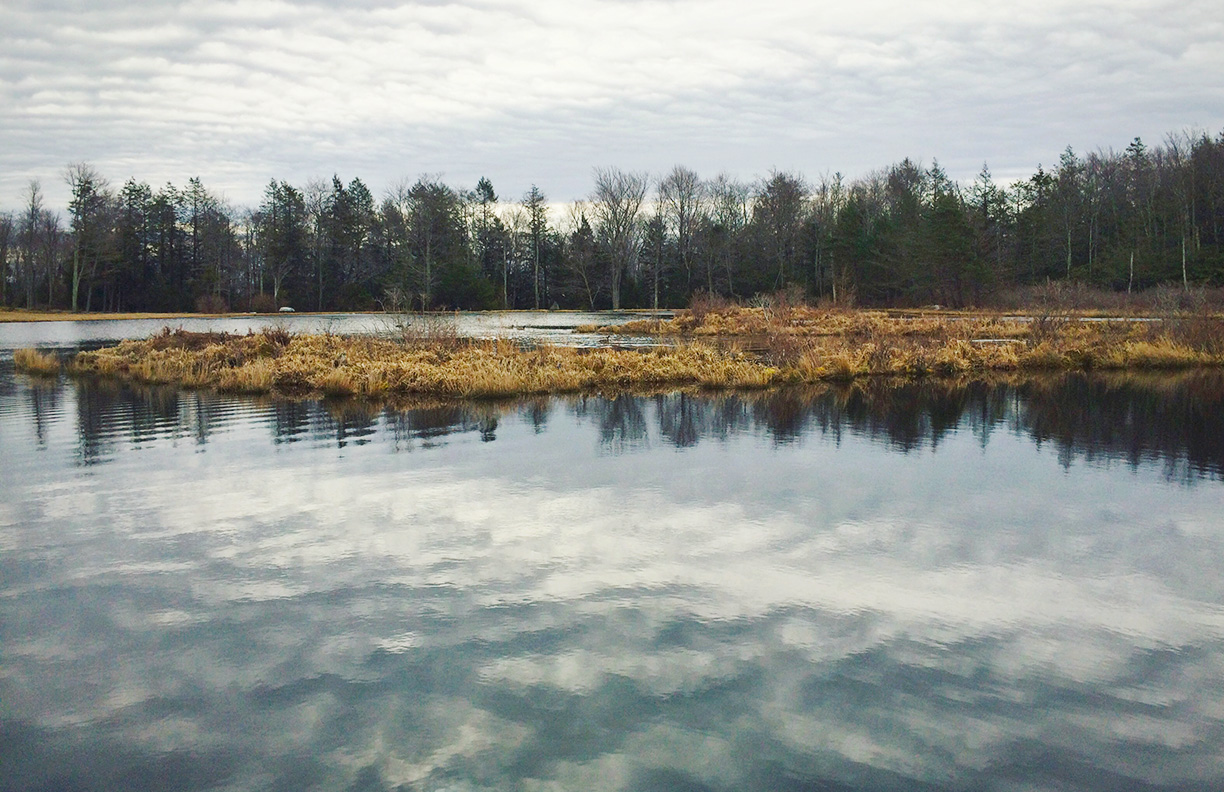
75F at 10.30, overcast but still rather bright, light winds and damp from overnight showers. 80F, scudding cotton wool clouds and hot in the sunshine by 1pm.

© J.N. Urbanski 1pm
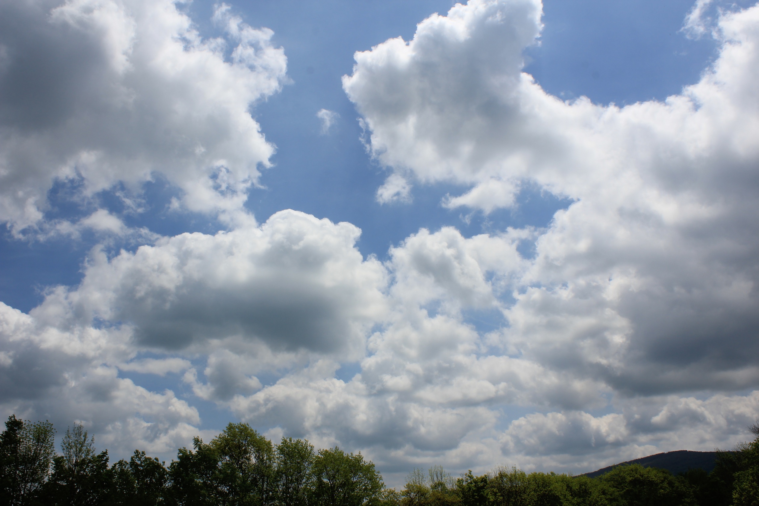
© J.N. Urbanski 1pm
75F at 10.30, overcast but still rather bright, light winds and damp from overnight showers. 80F, scudding cotton wool clouds and hot in the sunshine by 1pm.
© J.N. Urbanski 1pm
© J.N. Urbanski 1pm
Much needed overnight rain ushered in a damp, overcast morning. 68F at 11am and humid with mist over the mountains. Update: 76F, overcast and humid at 4.30pm. Steady rain at 6.30pm dwindled to light showers by 8pm.
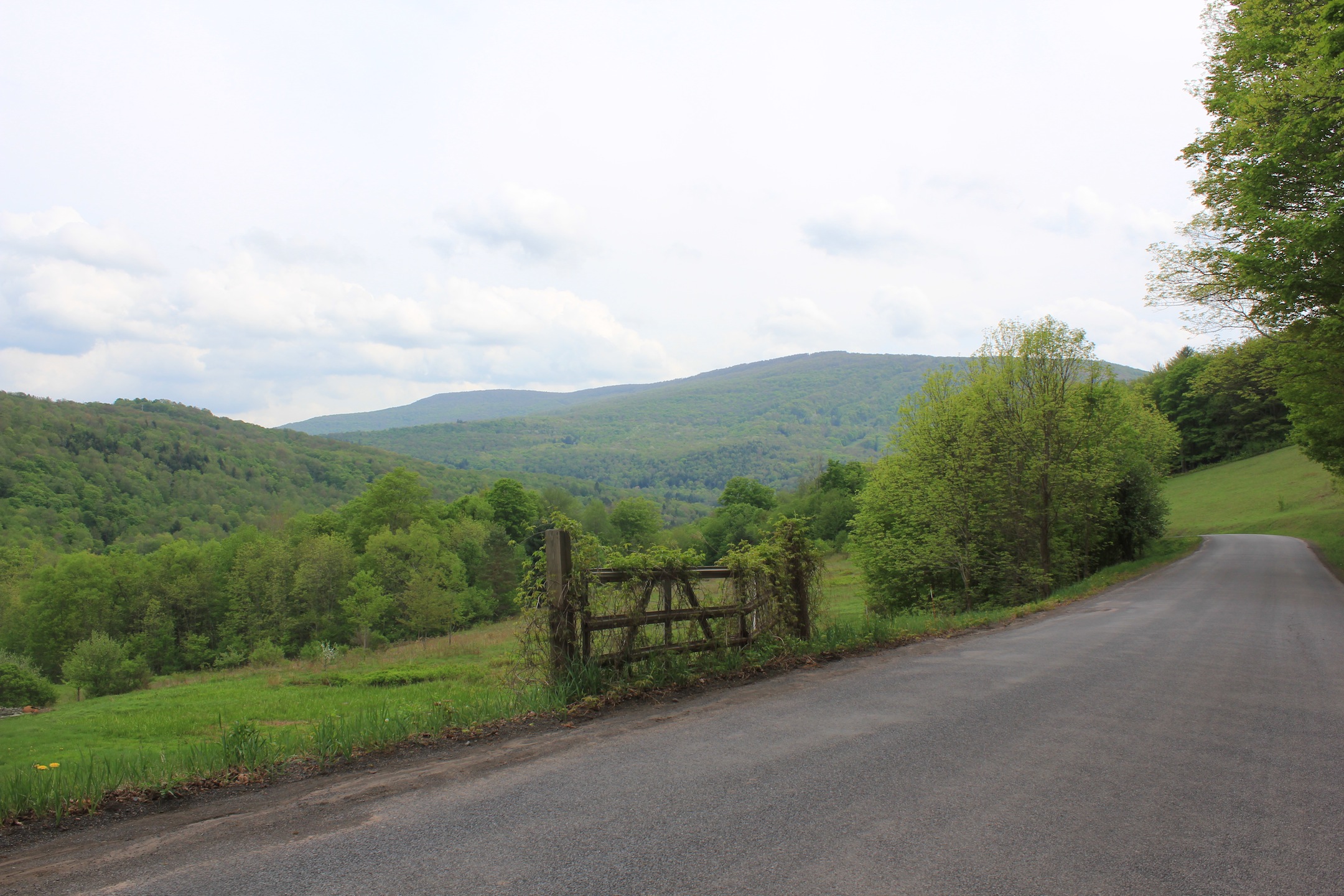
© J.N. Urbanski 3.45pm
A crisp 58F at 9am, overcast rising to 76F and sunny by noon. The blossoms seem to have survived the frost intact, but half the tomatoes have died.
36F at 6.30am, rising to 61F at 1pm with sunny skies. Too early to say if this morning’s frost ruined the blossoms. Burn ban extended to May 21st.
54F and cloudy at 10.30am. Update: Frost forecast for the evening, threatening blossoms and seedlings. Lows of 30F are predicted for the early hours of tomorrow morning (4am to 6am).
64F at 8.30am, with a mix of sun and cloud. Much-needed rain expected this afternoon. The landscape is thirsty. Update: Rain! Late afternoon.
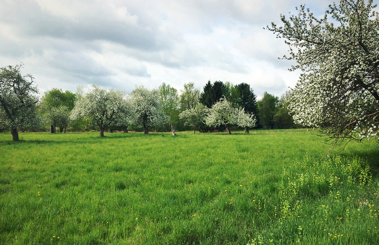
76F at 8am. Warm and sunny with no breeze. Asparagus acting like a sundial will be later eaten for breakfast. Update: they were juicy. The crab apple tree in full bloom.
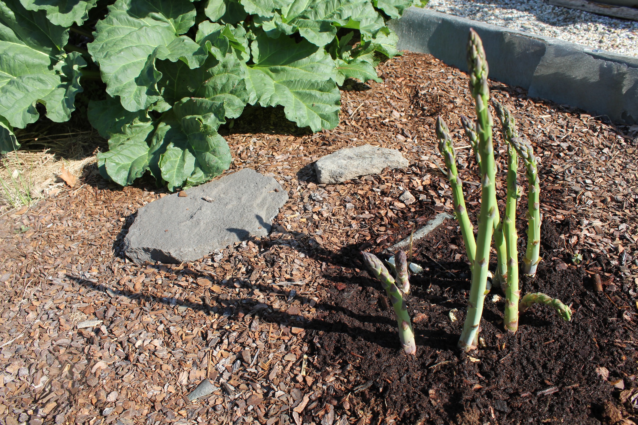
© J.N. Urbanski 8.30am
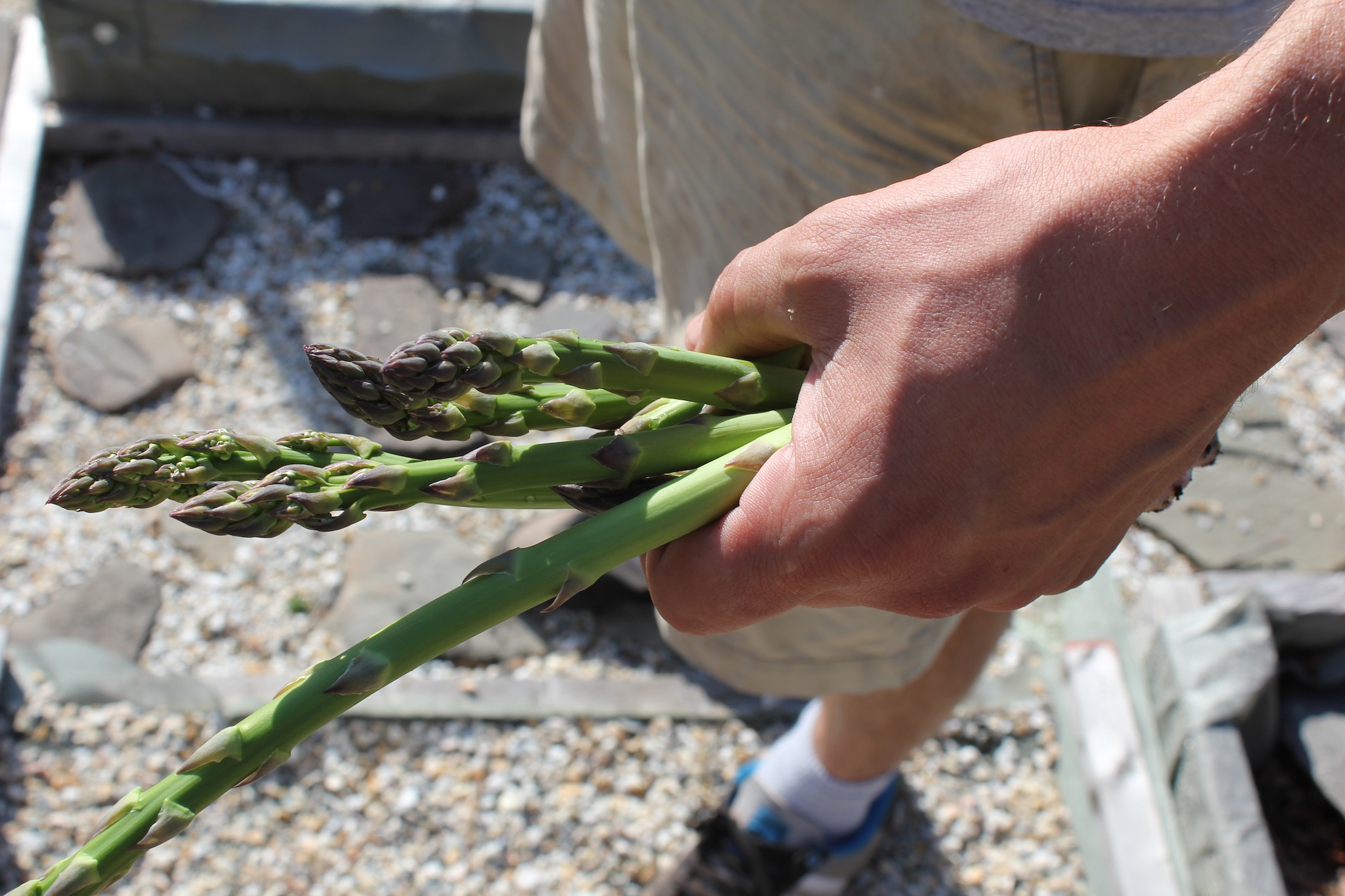
© J.N. Urbanski 9am

© J.N. Urbanski 9.30am
90F by noon, clear skies dissolving into a haze on the horizon. The hops wind slowly around the twine in the blazing sun.
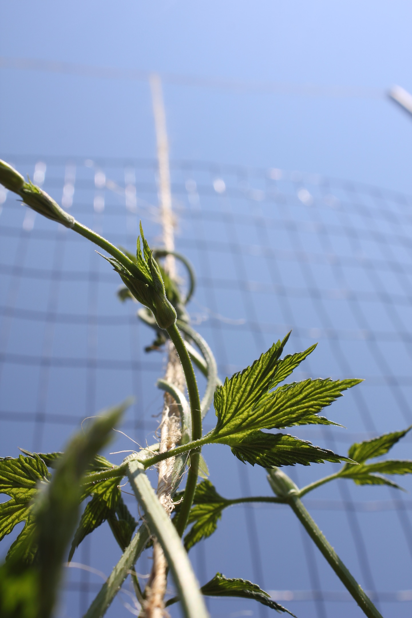
© J.N. Urbanski 12.15pm
61F at 8am with hazy sunshine and light winds, rising to 75Fby the afternoon. The Juneberry blossoms.
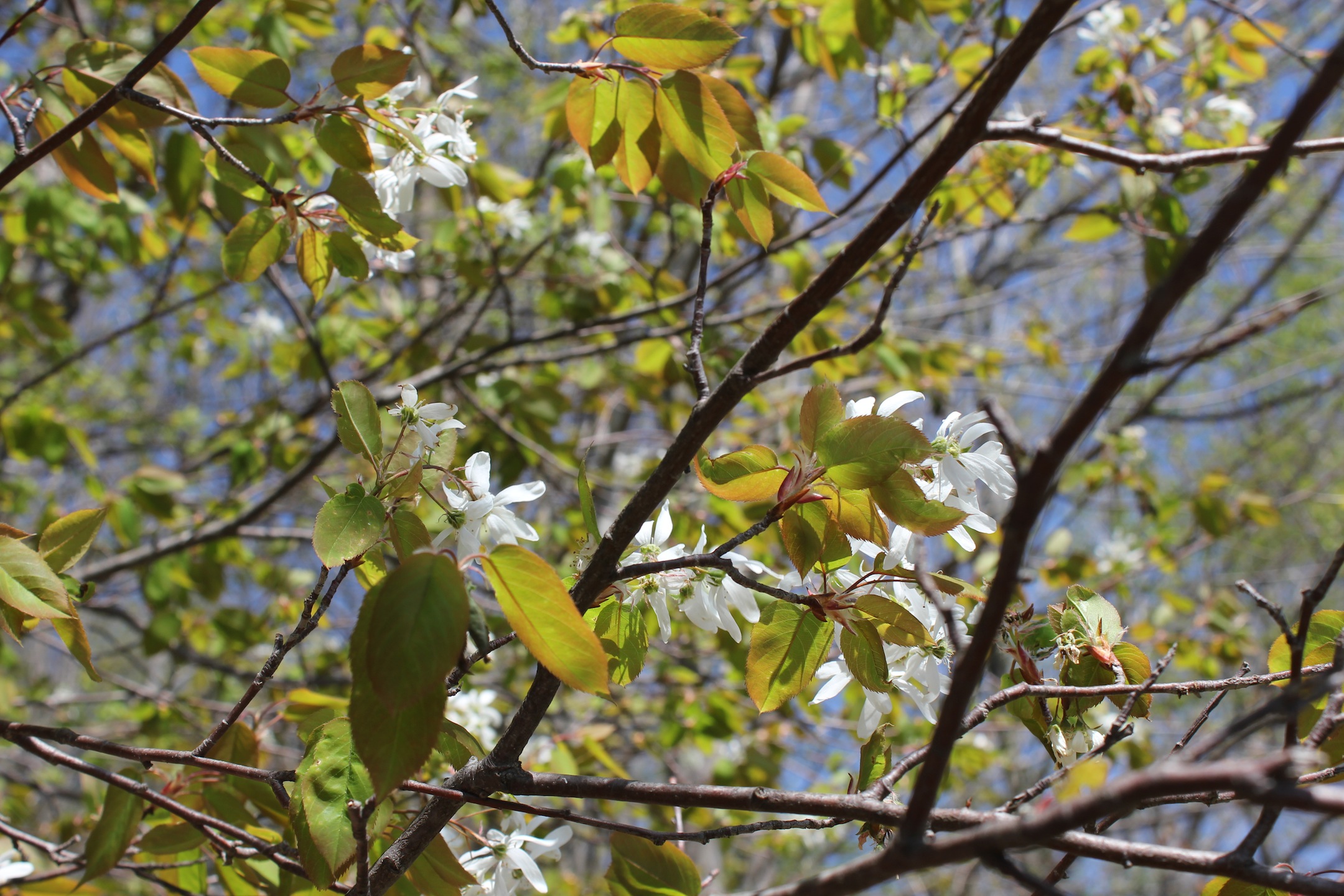
© J.N. Urbanski 10.30am
74F at 9am, clear and sunny, rising to 80F by mid-afternoon.
© J.N. Urbanski 2.30pm
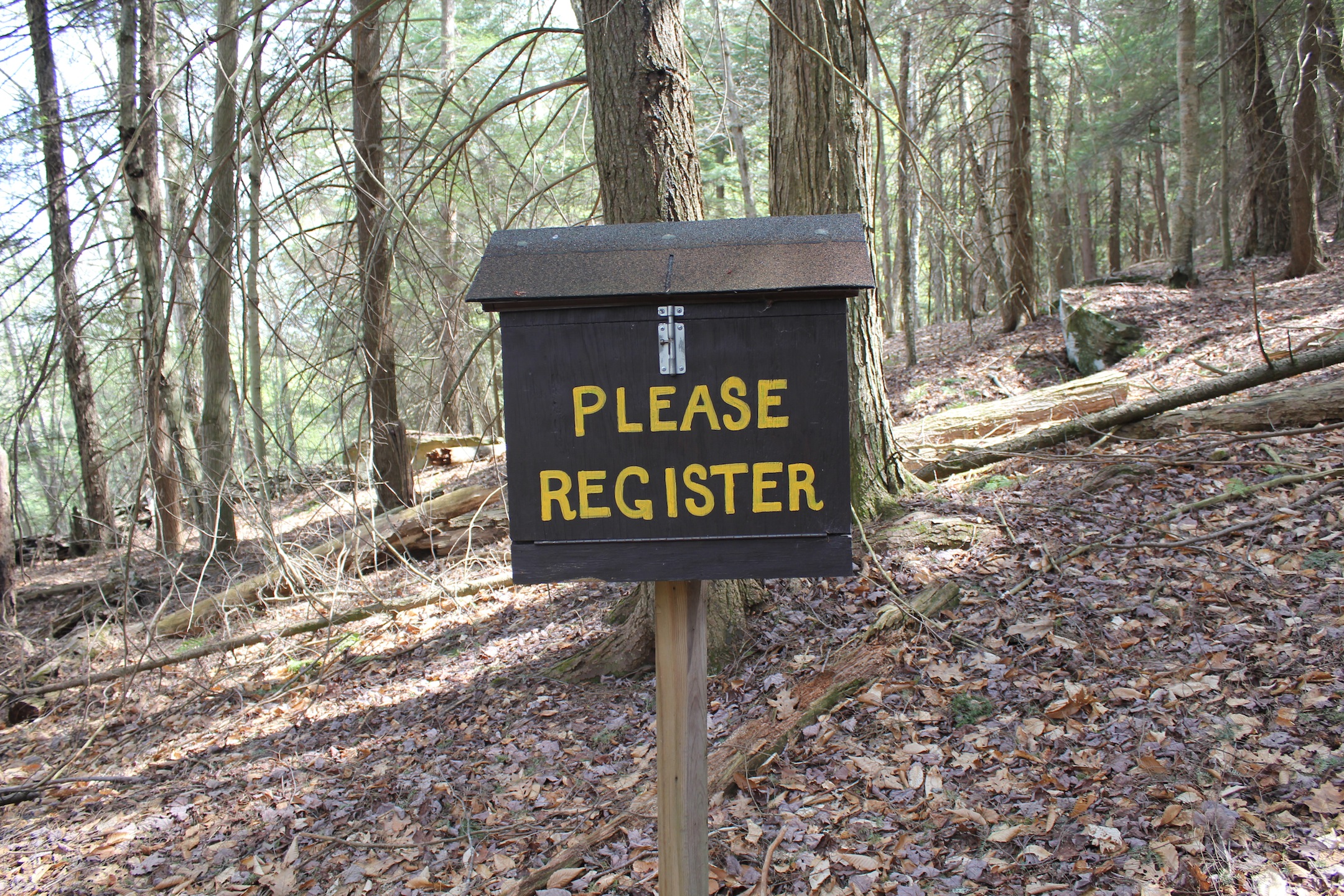
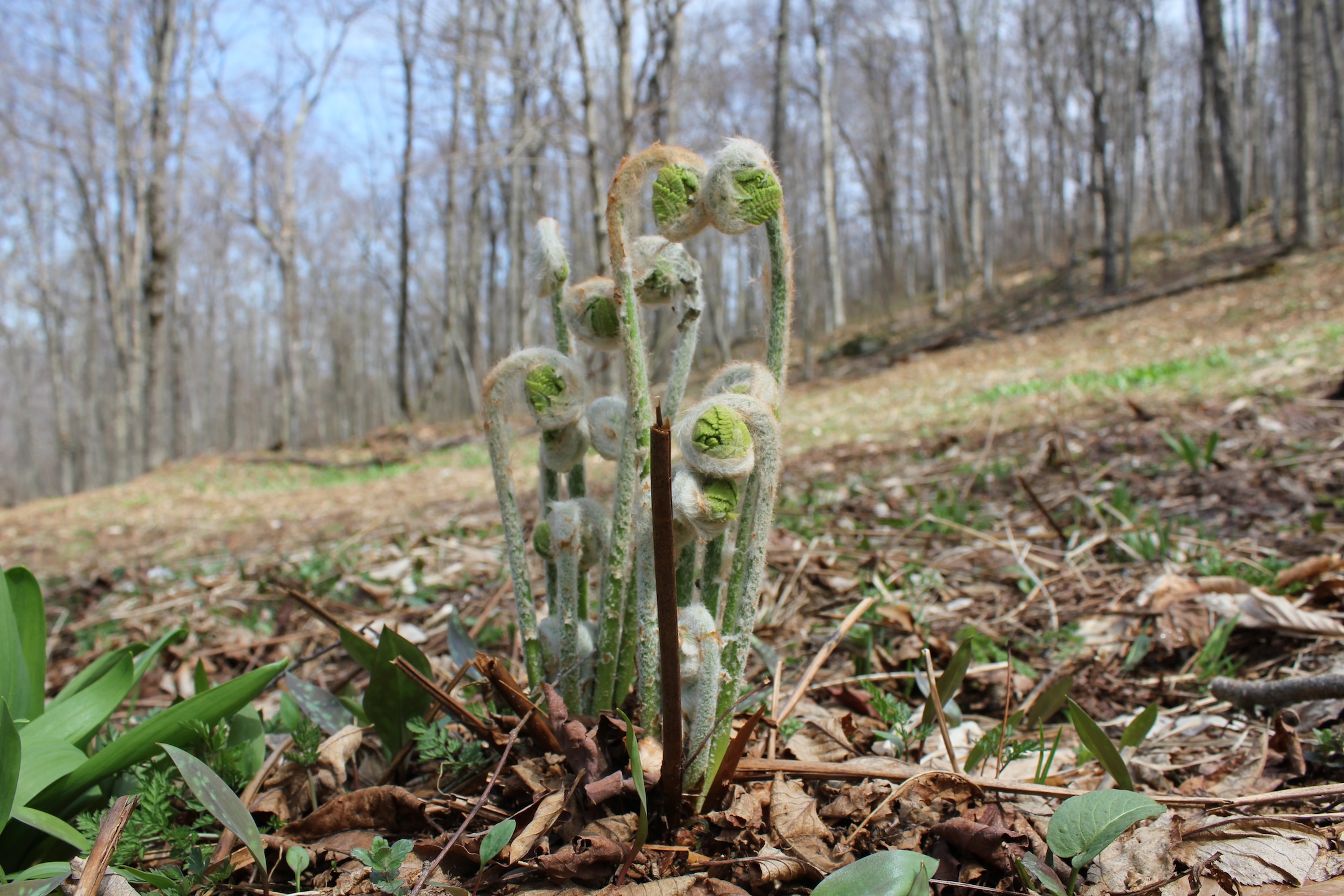
72F by 8.15am with hazy sunshine. Asparagus, ramps and fiddlehead ferns in season.

© J.N. Urbanski 8.45am
60F at 8am with hazy cloud cover and a light breeze rising to 70F by mid-afternoon.

© J.N. Urbanski Noon
© J.N. Urbanski 2.30pm
59F at 7.30am with misty, hazy cloud cover and the landscape still damp with overnight rain. 78F by 2pm with the same hazy cloud. The magnolia has bloomed and is falling, but the wisteria waits.
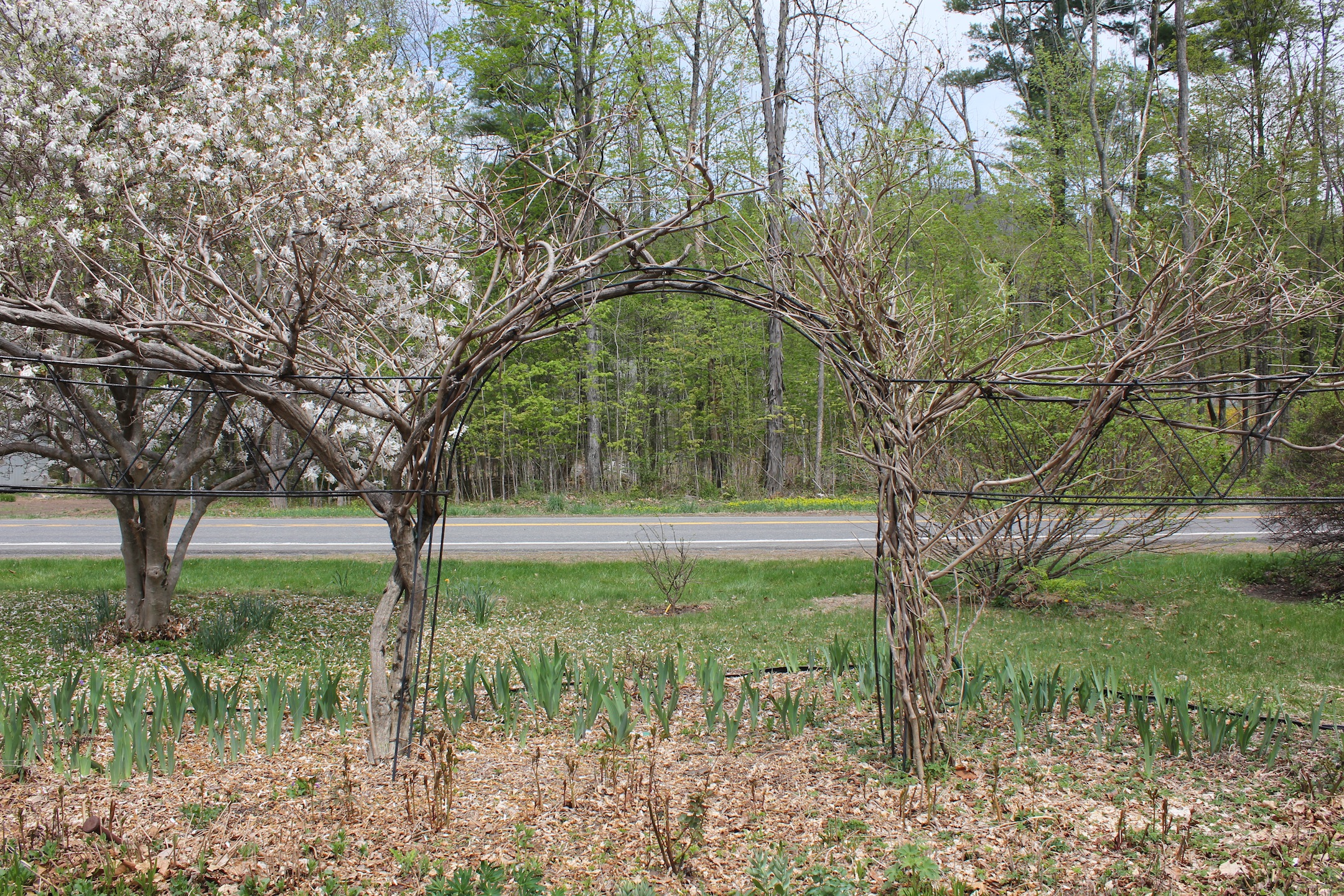
© J.N. Urbanski Noon
72F at 8am, rising to 81F (for the first time this year) by midday with mostly cloudless skies.
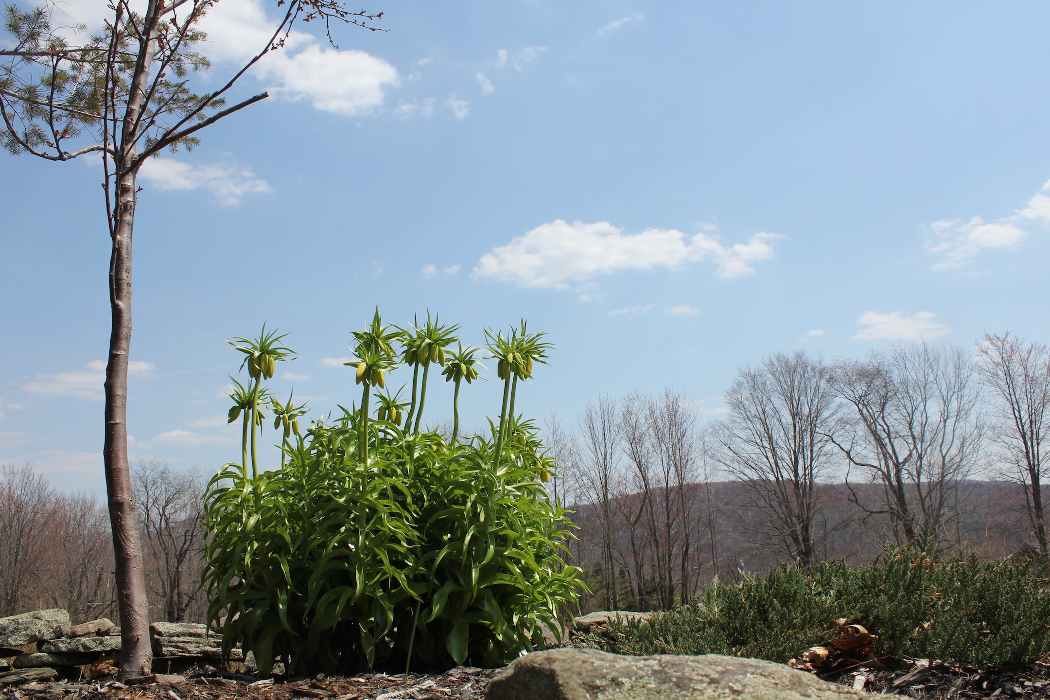
© J.N. Urbanski 12.30pm
72F at 10am and mostly sunny with multifarious cloud cover stealing in at noon and dampening the blazing sun.
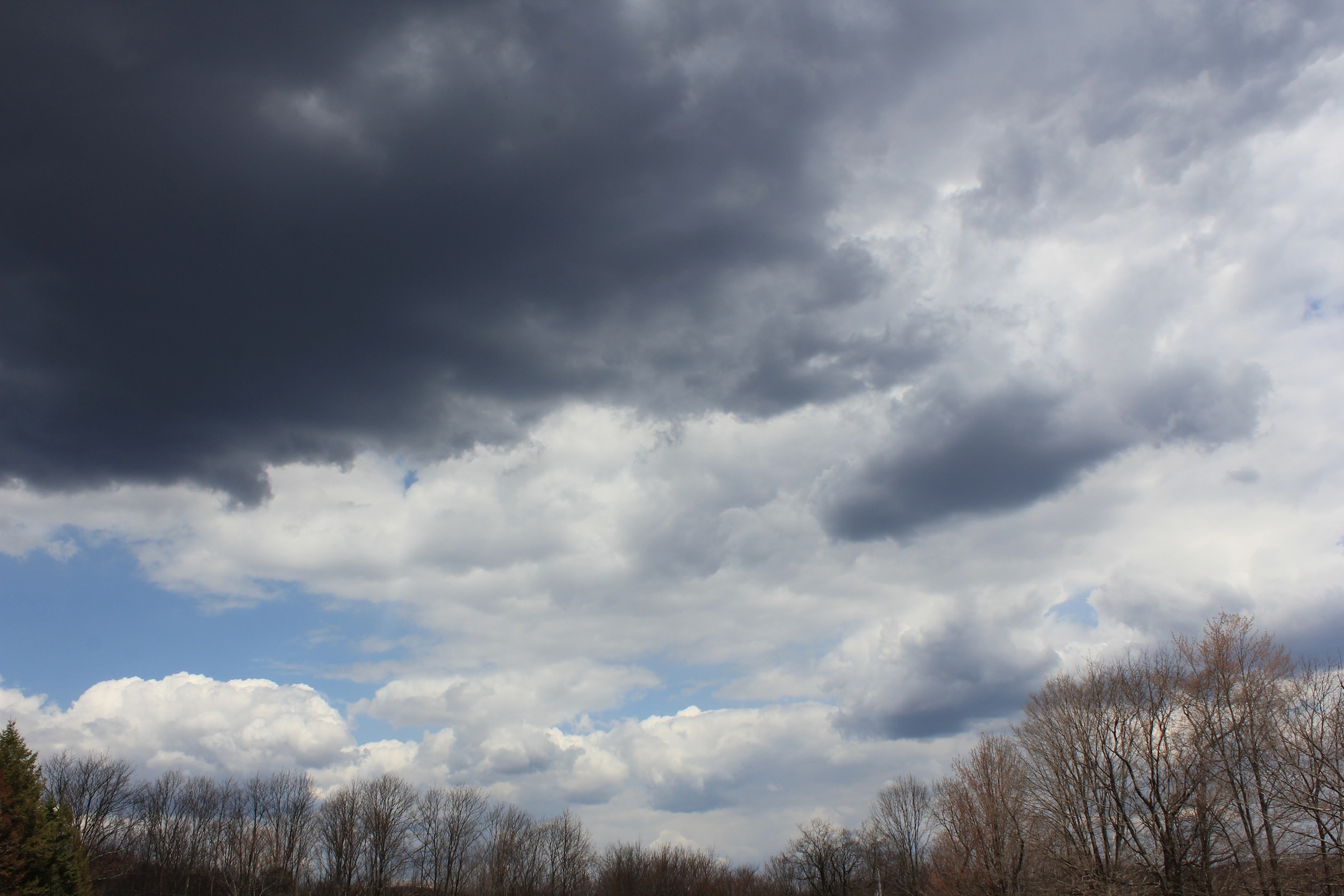
© J.N. Urbanski 1pm
64F at 11am with scudding, cotton wool cloud cover allowing hints of blue skies beyond and brief flashes of blazing sunshine. An intermittent warm breeze. Update: 70F by mid-afternoon.

© J.N. Urbanski 12.30pm An army of basking beet seedlings
55F at 10am and overcast as the daffodils struggle to open. May 1st marks the Celtic celebration known as Beltane, a Spring festival, in which participants dance around a maypole, sit around fire circles and usher in the Summer with good spirits.
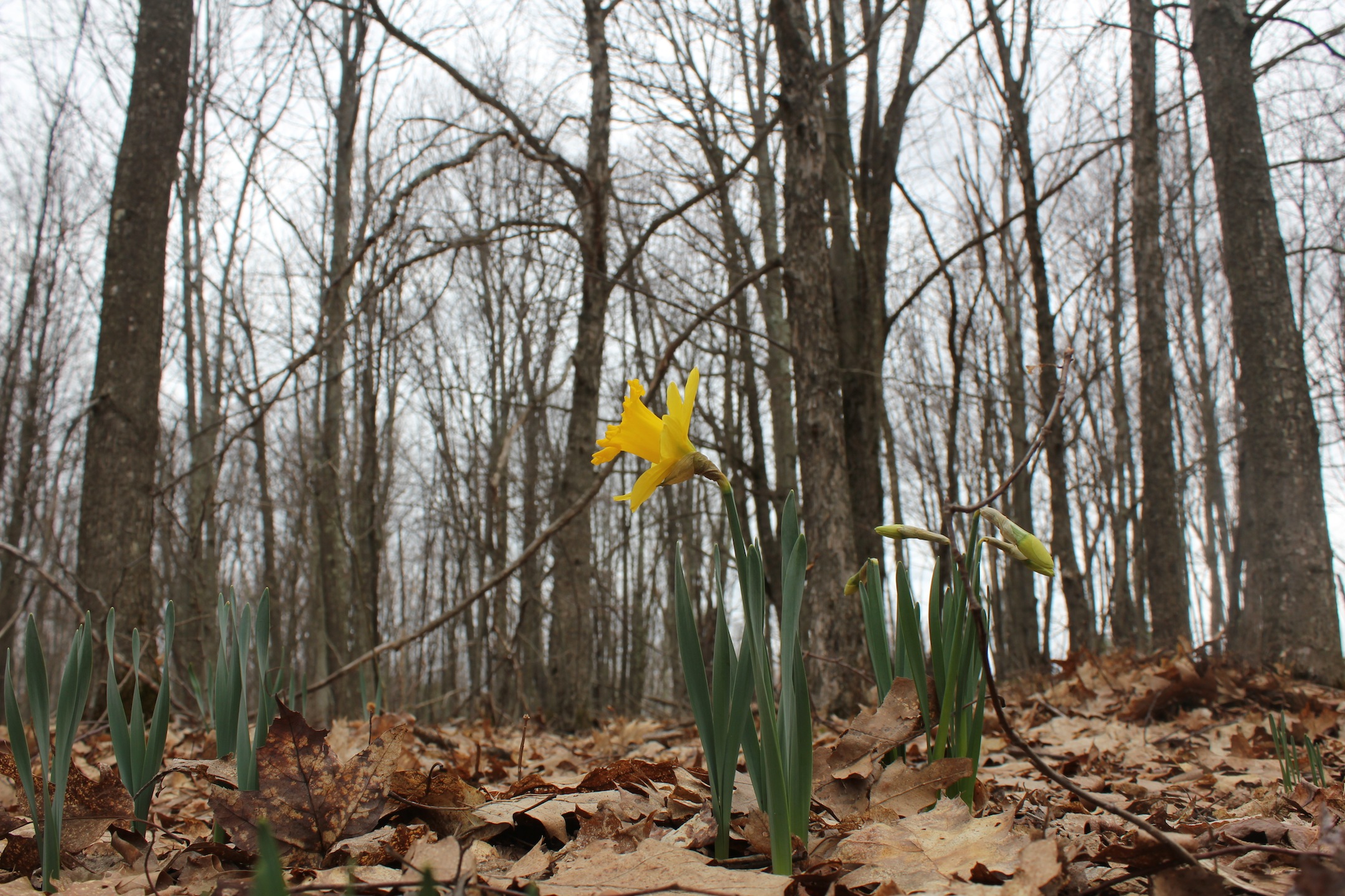
© J.N. Urbanski 10am
60F at 9am and sunny, with clear skies dissolving into haze over the mountains, and birdsong. An armada of scudding, cotton wool clouds and 65F by noon.
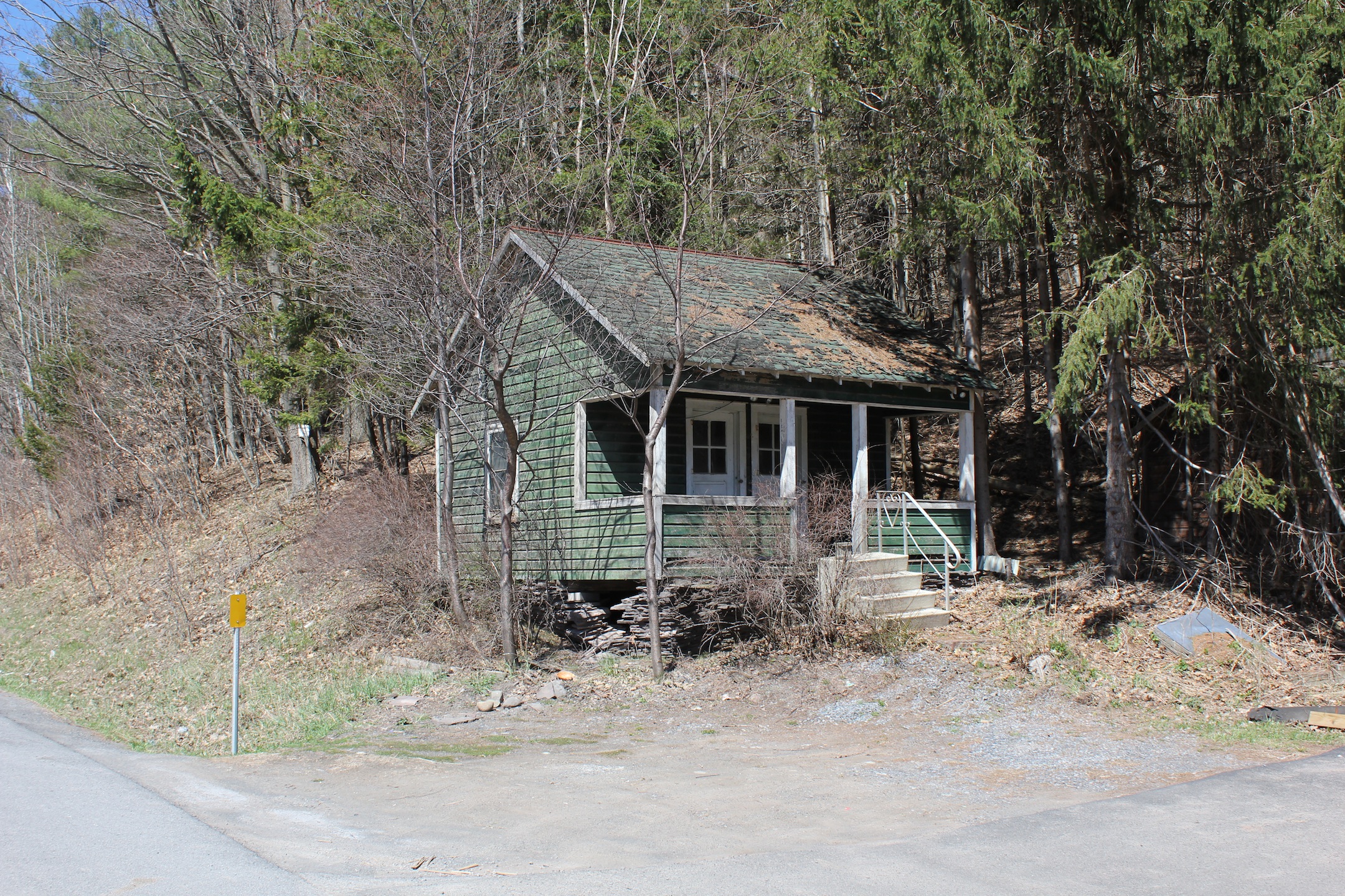
© J.N. Urbanski 11am
70F by 8.30am with clear, cloudless skies and a warm breeze.
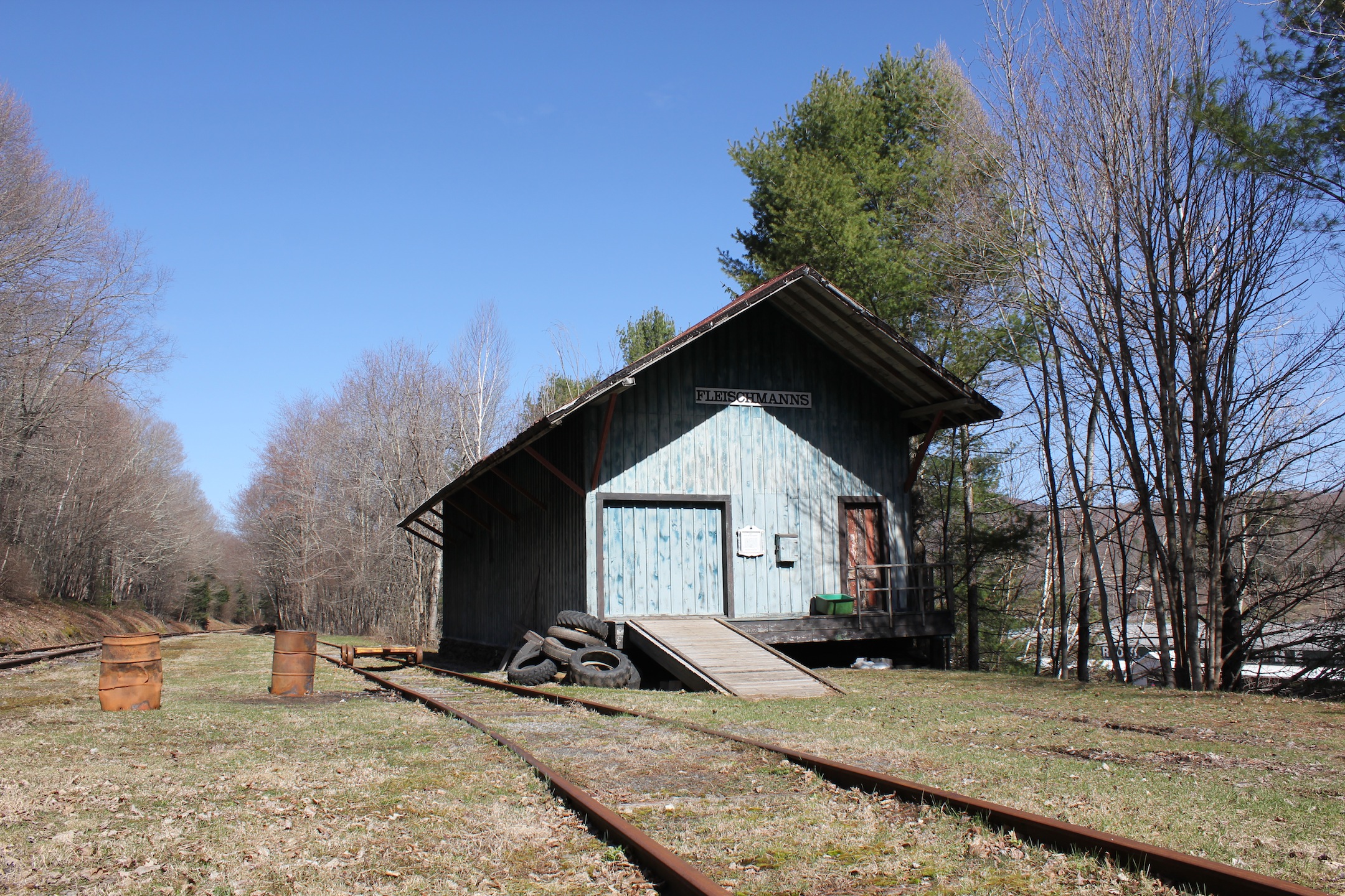
© J.N. Urbanski 9.25am
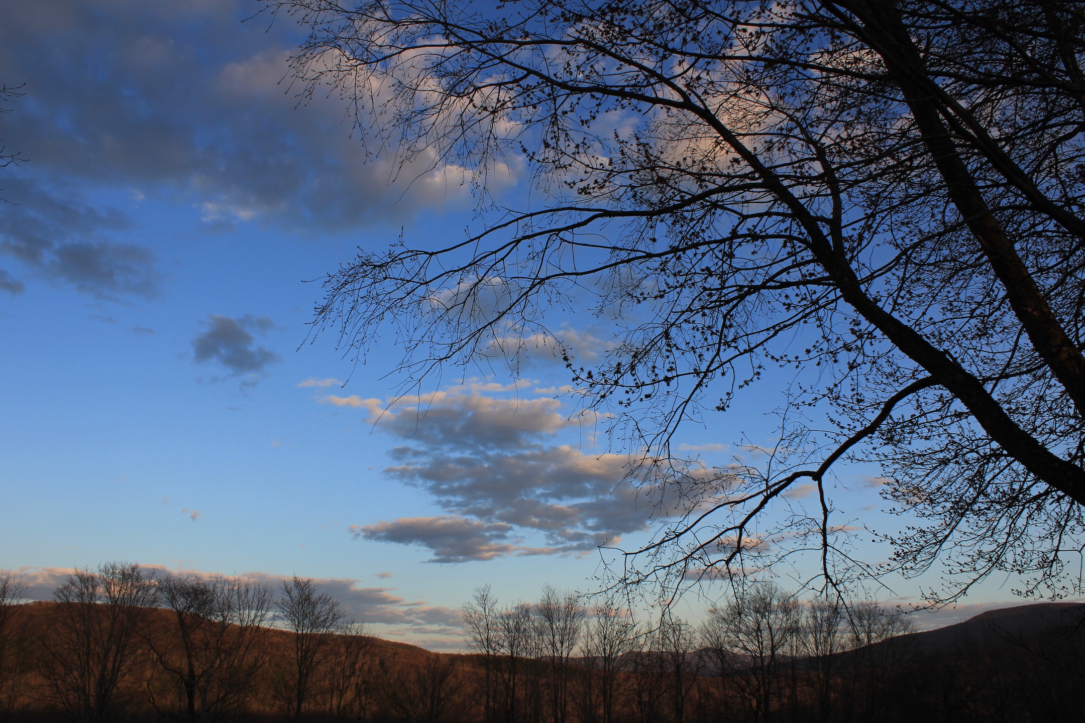
© J.N. Urbanski 7.30pm
49F at 9am and sunny with clouds, rising to 60F by 2pm with light winds.
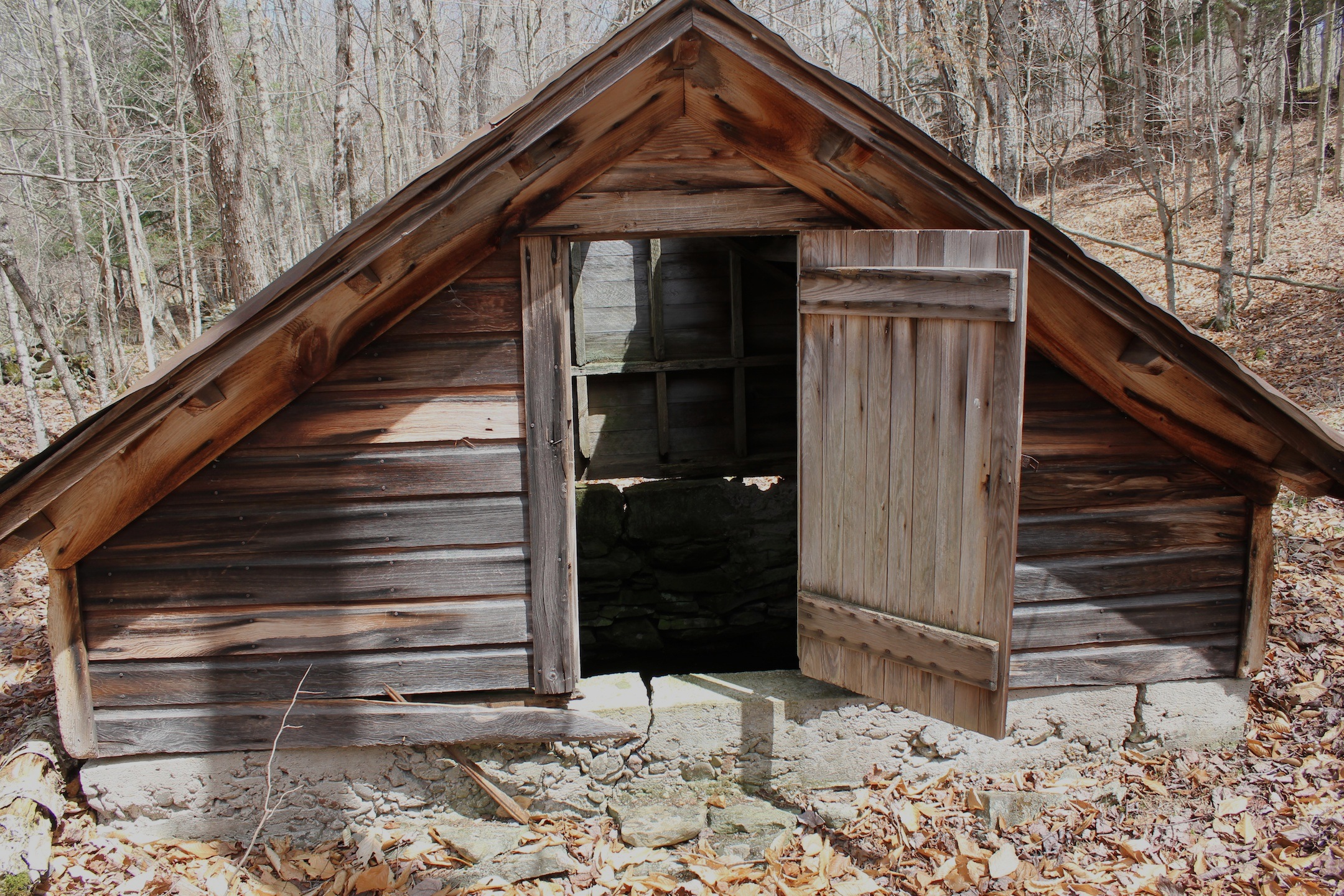
© J.N. Urbanski 12.40pm

© J.N. Urbanski 12.30pm
46F at 9am, quickly rising to 54F by 10.15am. Overcast and gloomy with rolling clouds in gunmetal grey.
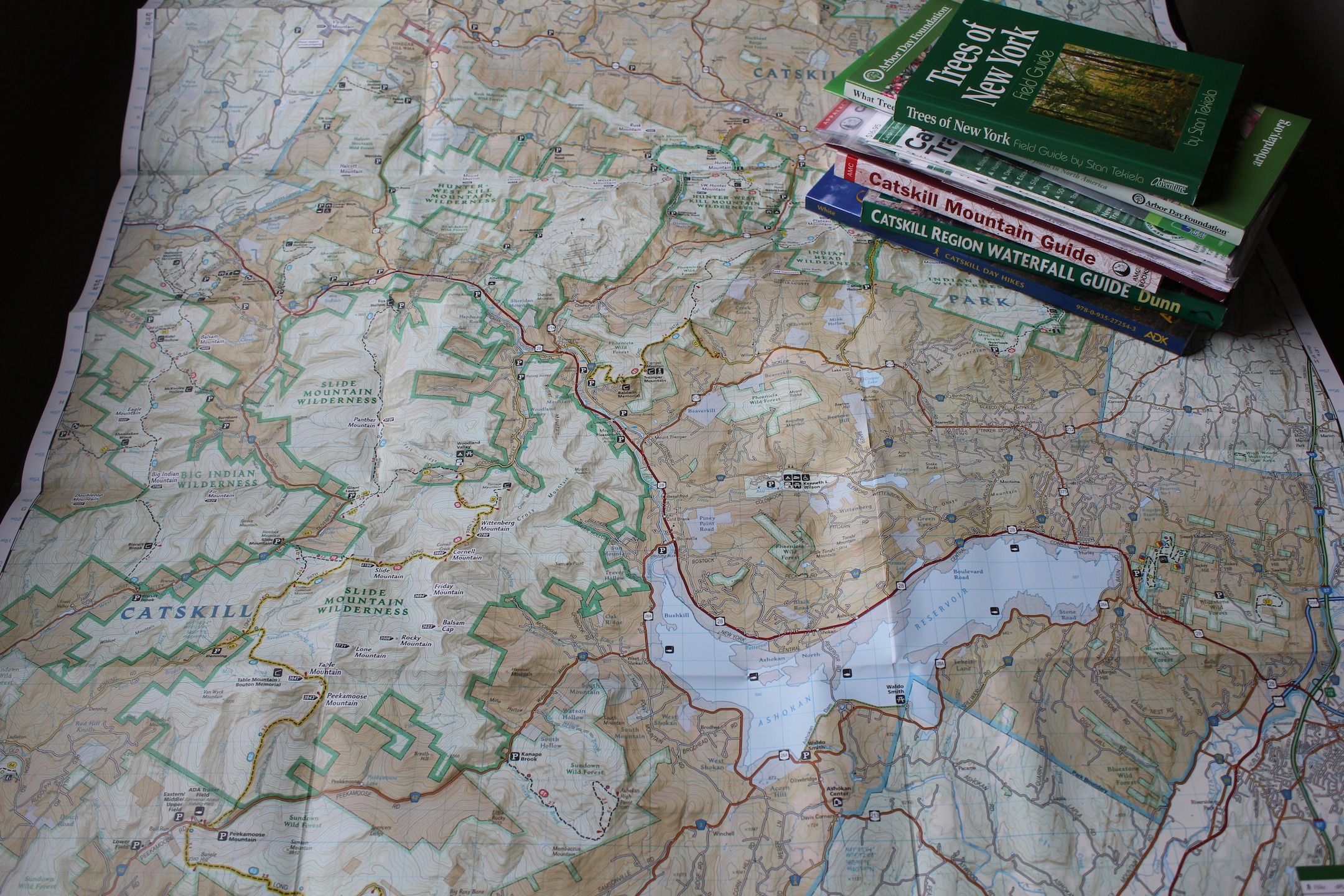
© J.N. Urbanski Noon

© J.N. Urbanski 3pm
50F at 9am. Mostly clear skies with a small armada of clouds on the horizon. 52F mid-afternoon with full cloud cover. A good sunday for a hike to Panther Mountain.
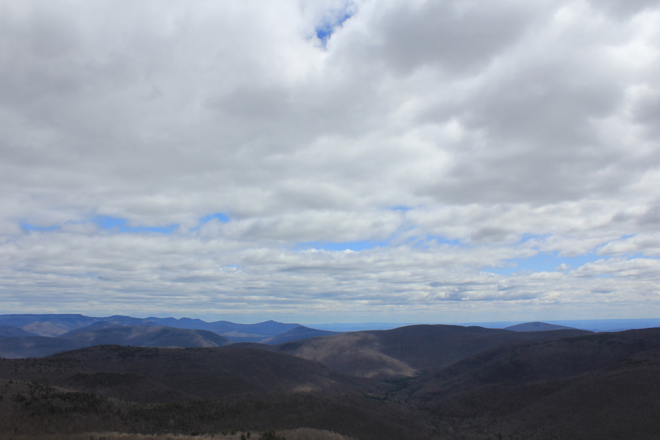
© J.N. Urbanski Noon
42F and sunny clear skies at 9am. 50F at 2pm and with an armada of cotton wool clouds. Cherry blossoms bursting.
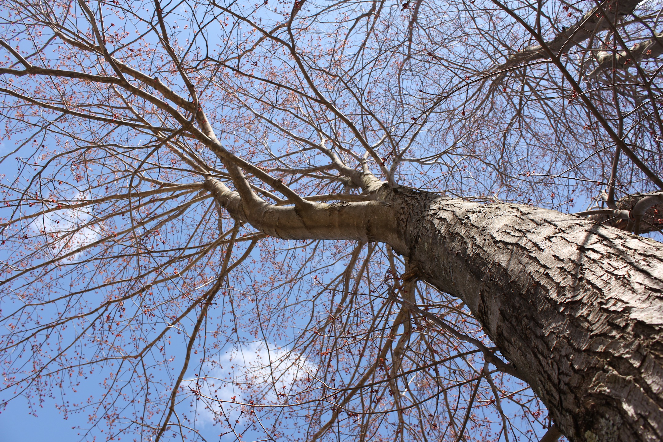
© J.N. Urbanski 2pm
28F at 8.30am with overnight snow lingering in the scantiest of flurries. Overcast and gloomy. RIP Crocus.
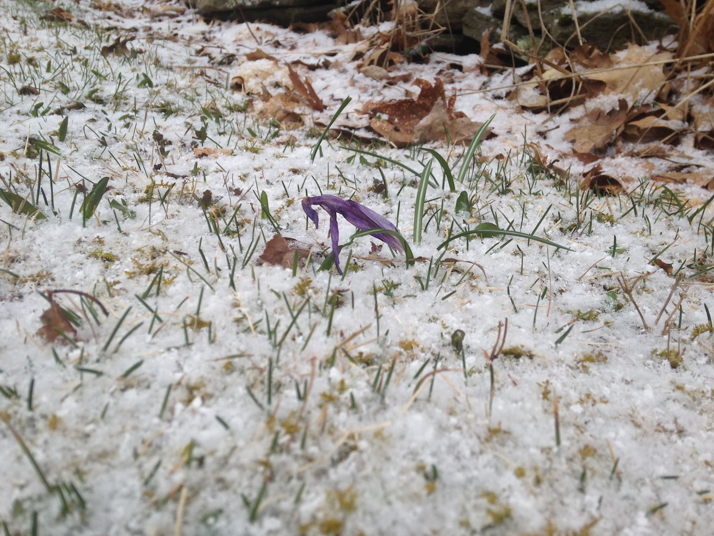
© J.N. Urbanski 9am
38F by 9am. A sprinkling of overnight snow lay dissolving into puddles. Update: Continual flurries for the rest of the day with 30F by 7pm.
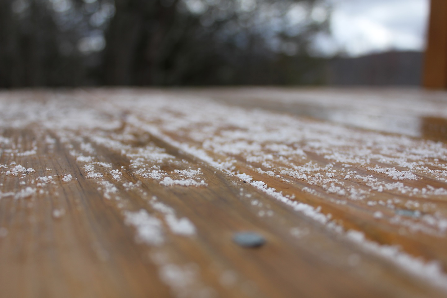
© J.N. Urbanski 9am
54F at 11am. Overcast with mid-morning rain showers. Update: Rainy, cloudy and gloomy for most of the day.
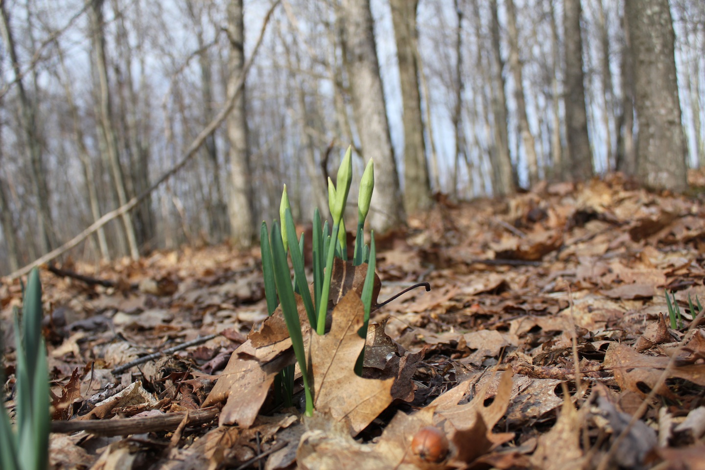
© J.N. Urbanski 10am
44F at 8am, overcast with heavy rain and a glum, sodden landscape. Overnight thunder and lightning, together with yesterday’s high wind had snapped branches and downed trees. Update: 55F and much dryer and brighter by the afternoon with cotton wool cloud cover.

© J.N. Urbanski 4pm
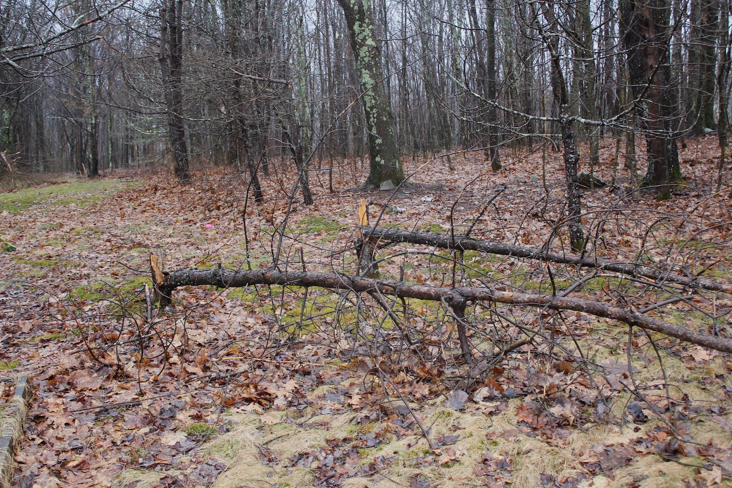
© J.N. Urbanski 8.30am
39F and overcast at 8am. Raining with extremely high winds scattering garden implements, buckets and recently raked leaves. Yesterday’s crocus that had opened by 4pm, had closed up again this morning, beaten by wet leaves and wind. His friend had been flattened.

© J.N. Urbanski 11am
52F at 9am rising to 56F by 10.30am. Clear skies, no wind and warm in the sunshine.

© J.N. Urbanski 9.15am
66F by noon. Dry with bright sunshine. Update: 70F at 3.30pm with gusty winds blowing laundry all over the place.
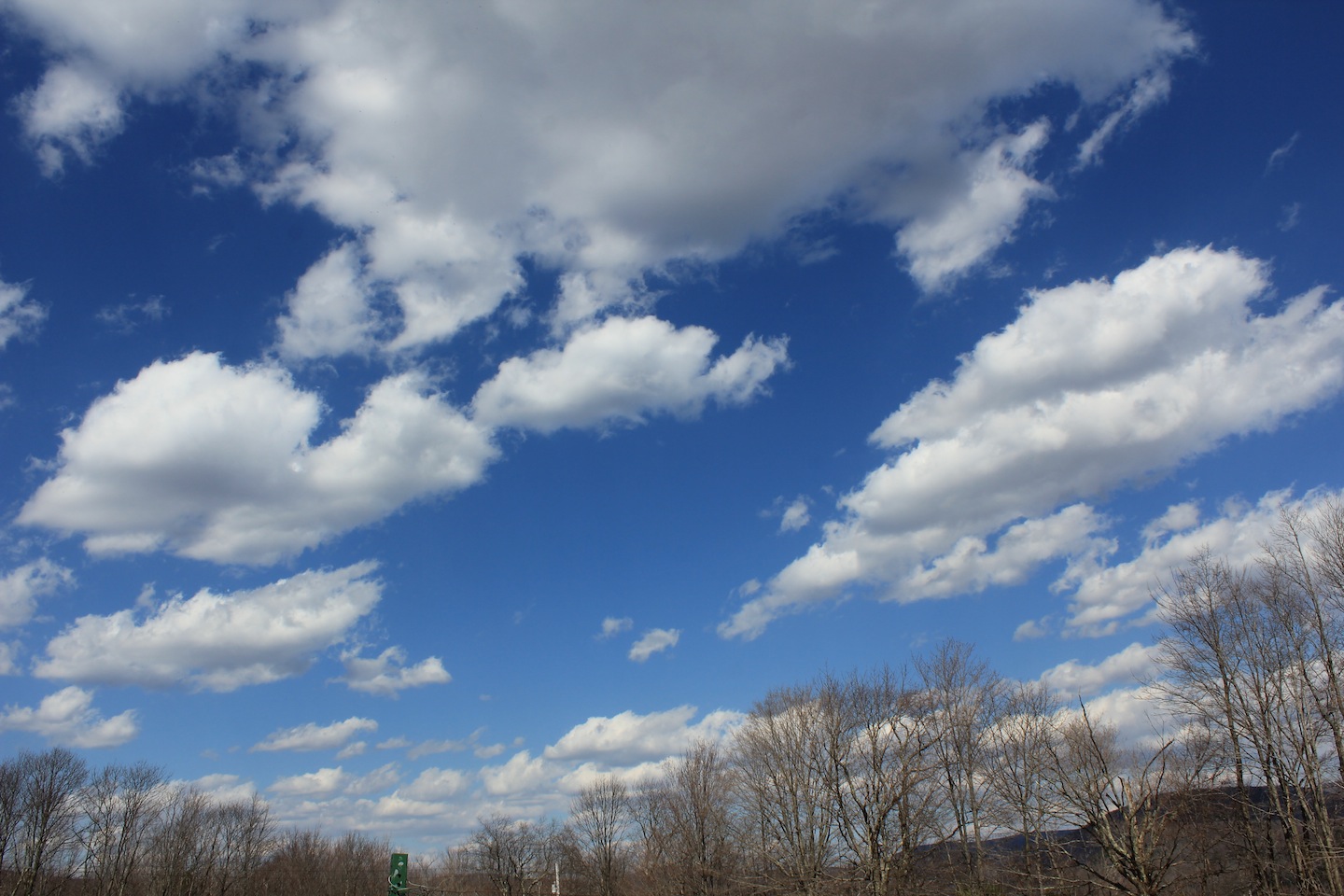
© J.N. Urbanski 3pm
50F at 8am and wet. Overnight rain turned to morning gloom with mist rolling over the mountains.

© J.N. Urbanski 12.15pm
39F and mostly sunny at 9am. Update: a splendid high of 63F.
49F at 8am, quickly rising to 56F by 8.45am. Beautiful, hazy cloud cover being burned through by the rising sun. Spring is here!

© J.N. Urbanski 8am
55F and clear skies at 10am. 60F and warm in the sunshine by 1pm.
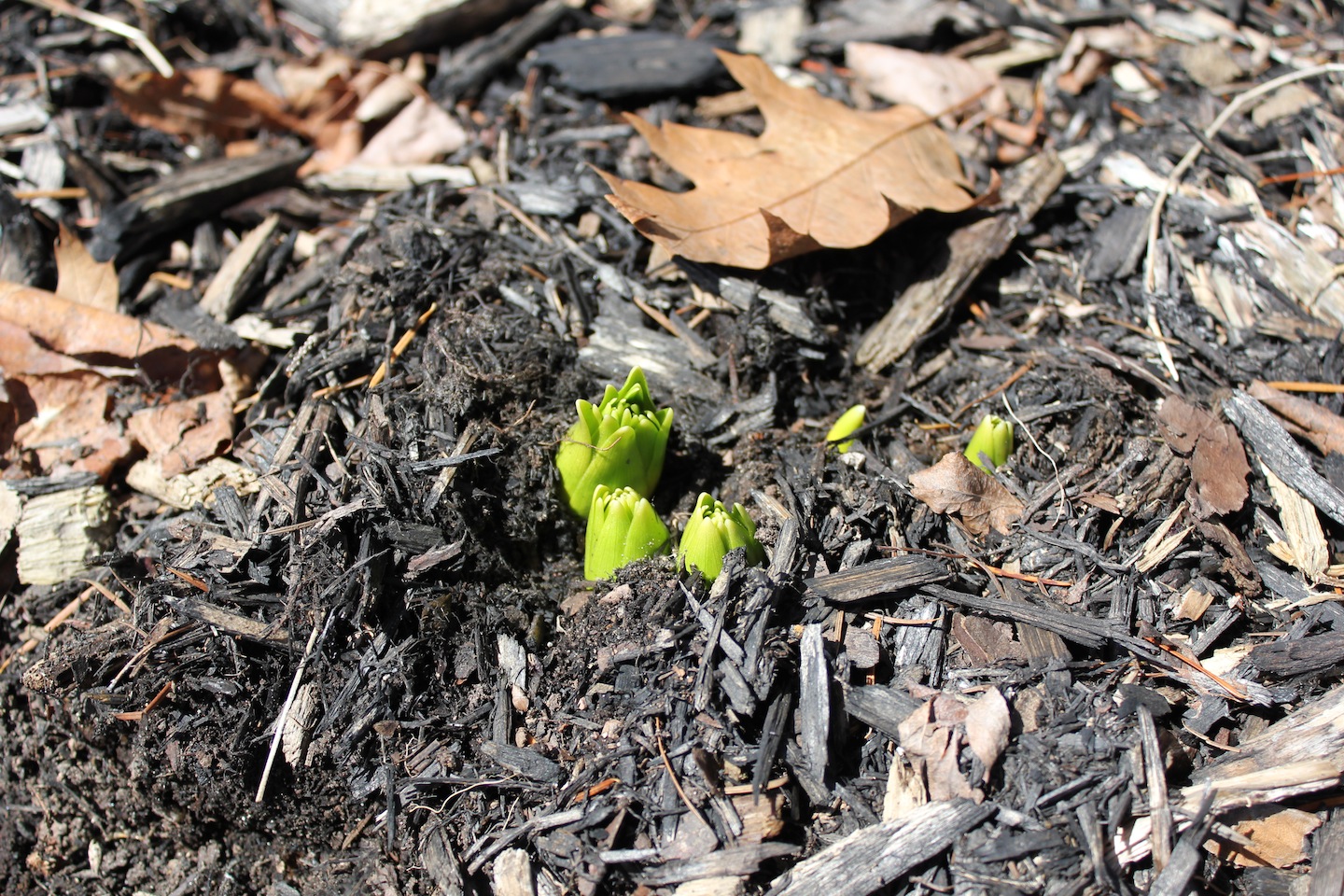
© J.N. Urbanski 1pm The first new shoots at a 2400 ft elevation
40F at 9am and windy. The sun fighting through the grey rolling cloud cover. Stunning cloud cover all afternoon culminating in a gorgeous sunset.
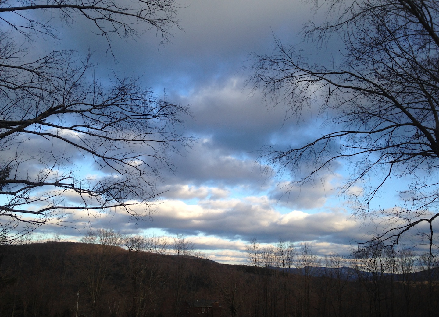
© J.N. Urbanski 6.45pm
44F at 10am. Gloomy, wet and overcast. More rain. Update: 59F and a glimmer of sunshine at 2pm.

© J.N. Urbanski 1.15pm
Jack Frost has cut his expert swathe across the mountains. A frozen, overcast landscape, 31F at 7am and every single bud, blade and branch coated in a thick, icy mantle. Icy granola stuck fast to the entire deck and sides of the house. Overnight thunder, lightning and hail set Spring back again. Update: 36F mid-afternoon with the ice being noisily blown off the branches by the wind.

© J.N. Urbanski 8am
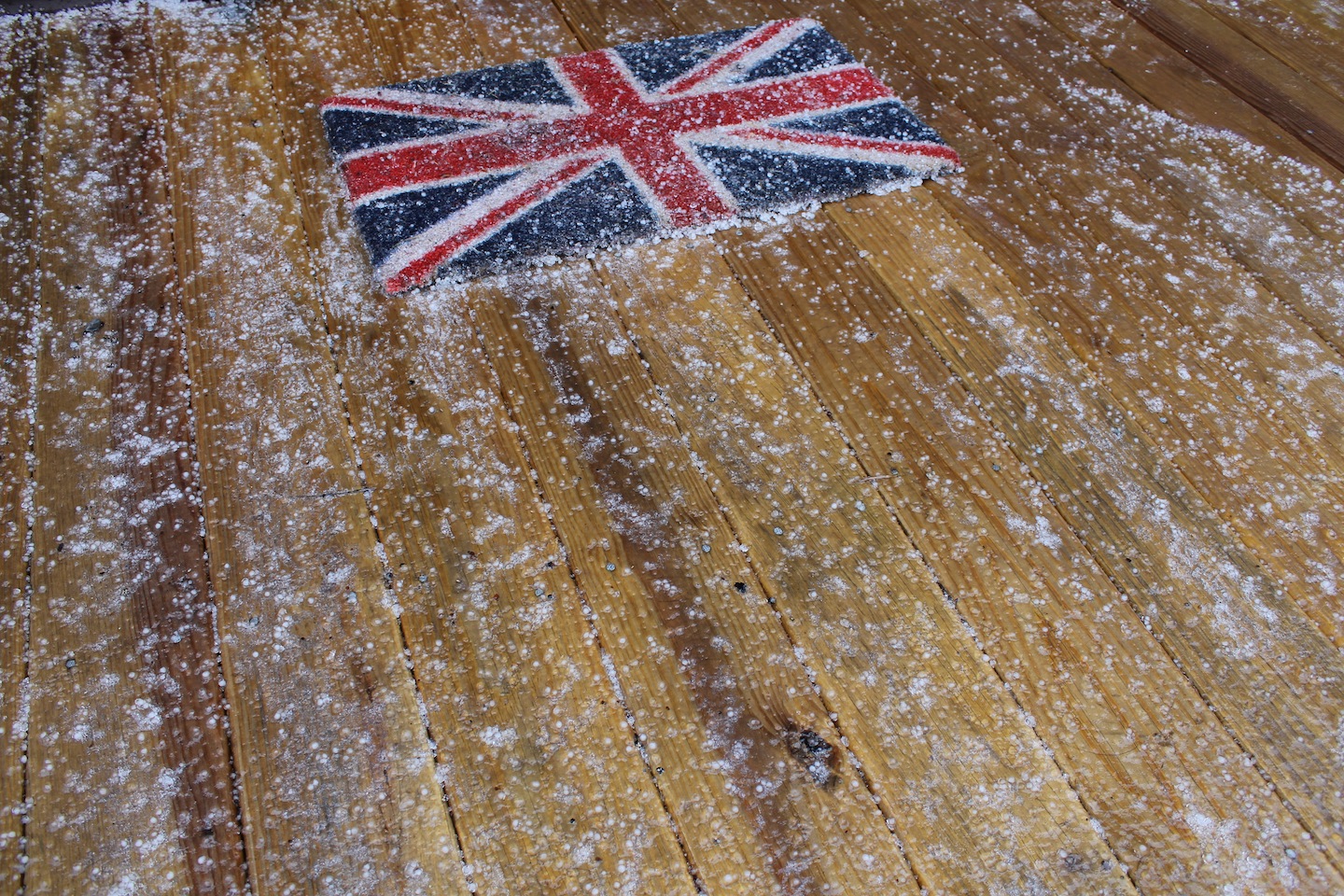
© J.N. Urbanski 8am
34F, windy and heavily raining at 8am. Overcast and grey, the nascent landscape being liberally spritzed. These mountains will never run out of water. Update: 31F and freezing rain by mid-afternoon with high winds.
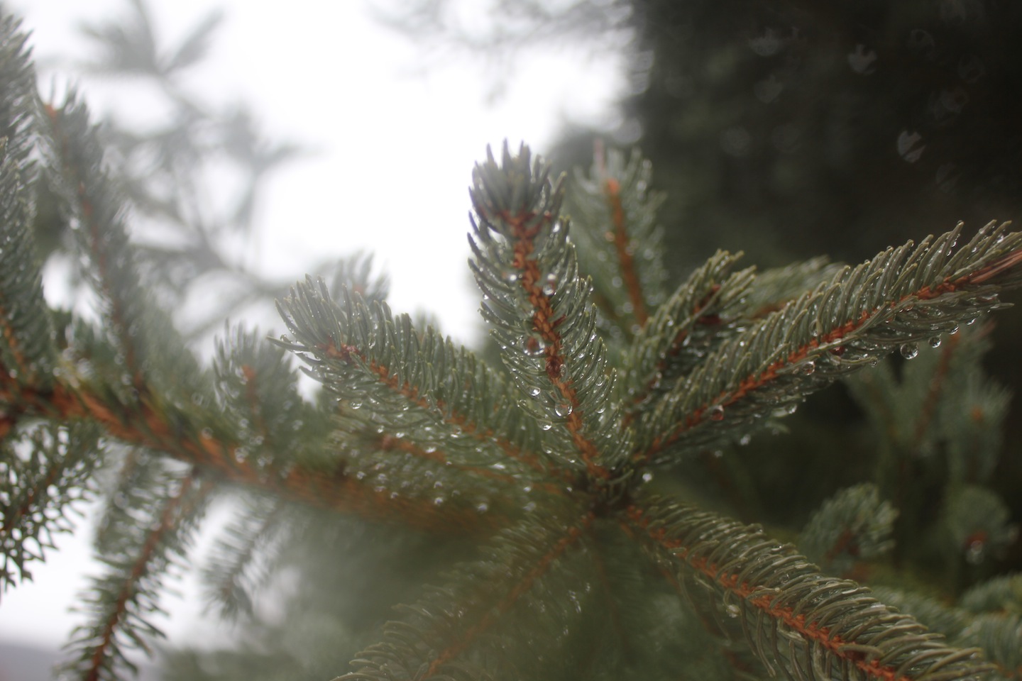
© J.N. Urbanski 8.45am
44F at 9am and overcast with light, misty cloud rolling over the mountains. Snow receding into the drying landscape. Rain at 1pm, giving the landscape a good soaking.

© J.N. Urbanski 11.30am
We’re having extraordinary weather. This morning was like a Christmas Winter Wonderland and this afternoon snowmelt gushes down the mountains while the thermometer hit 60F at 4.30pm. Here are the before and after shots from today. The first picture taken at 7.45am and the second taken at 3.15pm in exactly the same place.
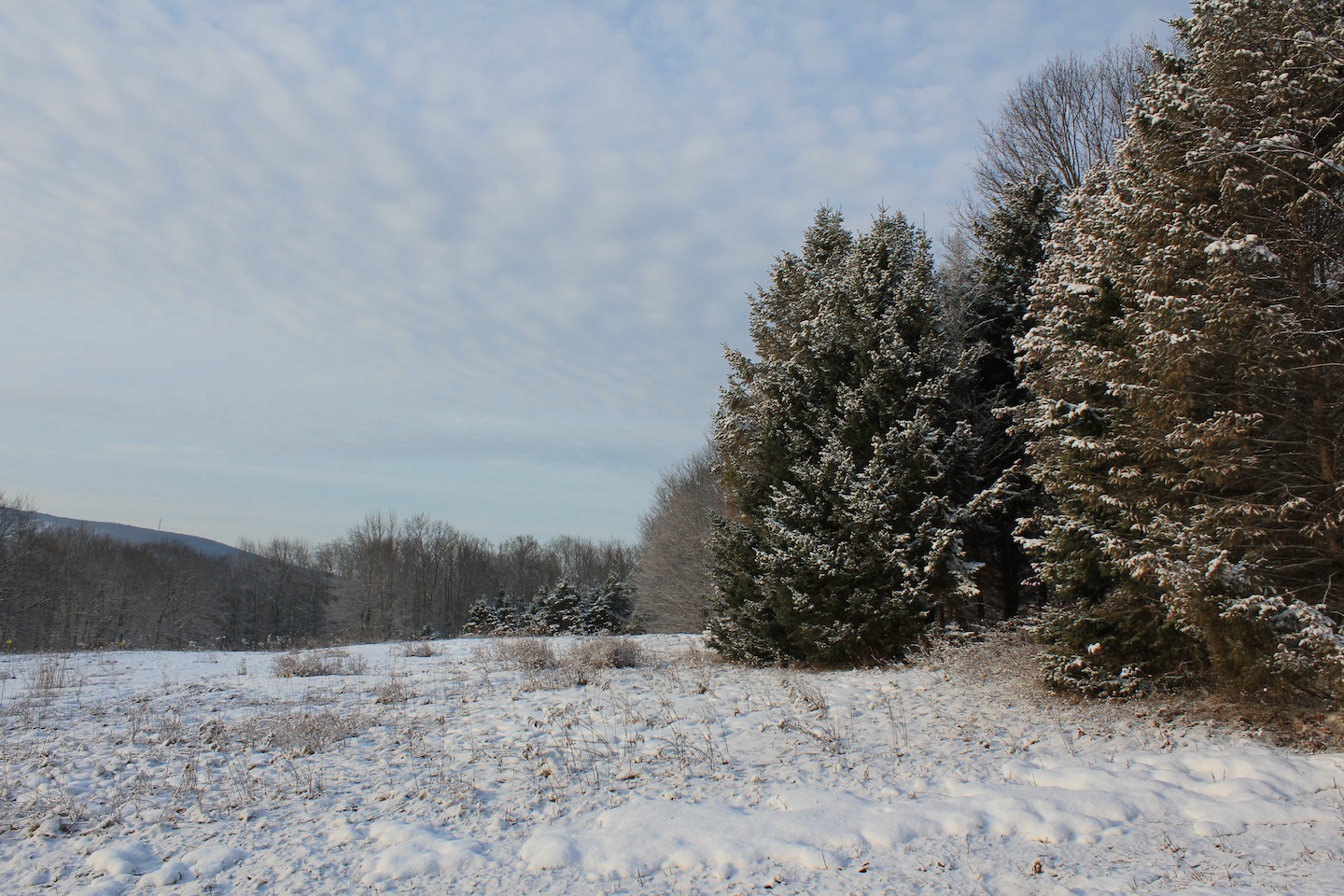
© J.N. Urbanski 7.45m
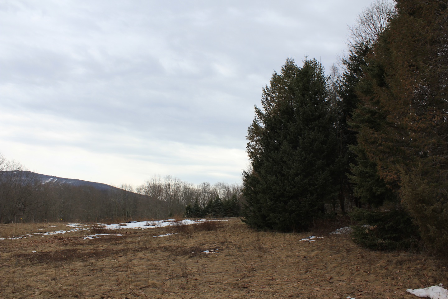
© J.N. Urbanski 3.15pm
38F at 8am with bright sunshine burning through hazy cloud cover. A disconcerting inch of overnight snow coated every leaf and branch and thick mist hung in the valleys. Update: the haze cleared, snow melted quickly from branches. 55F at 2pm and sunny.

© J.N. Urbanski 8am
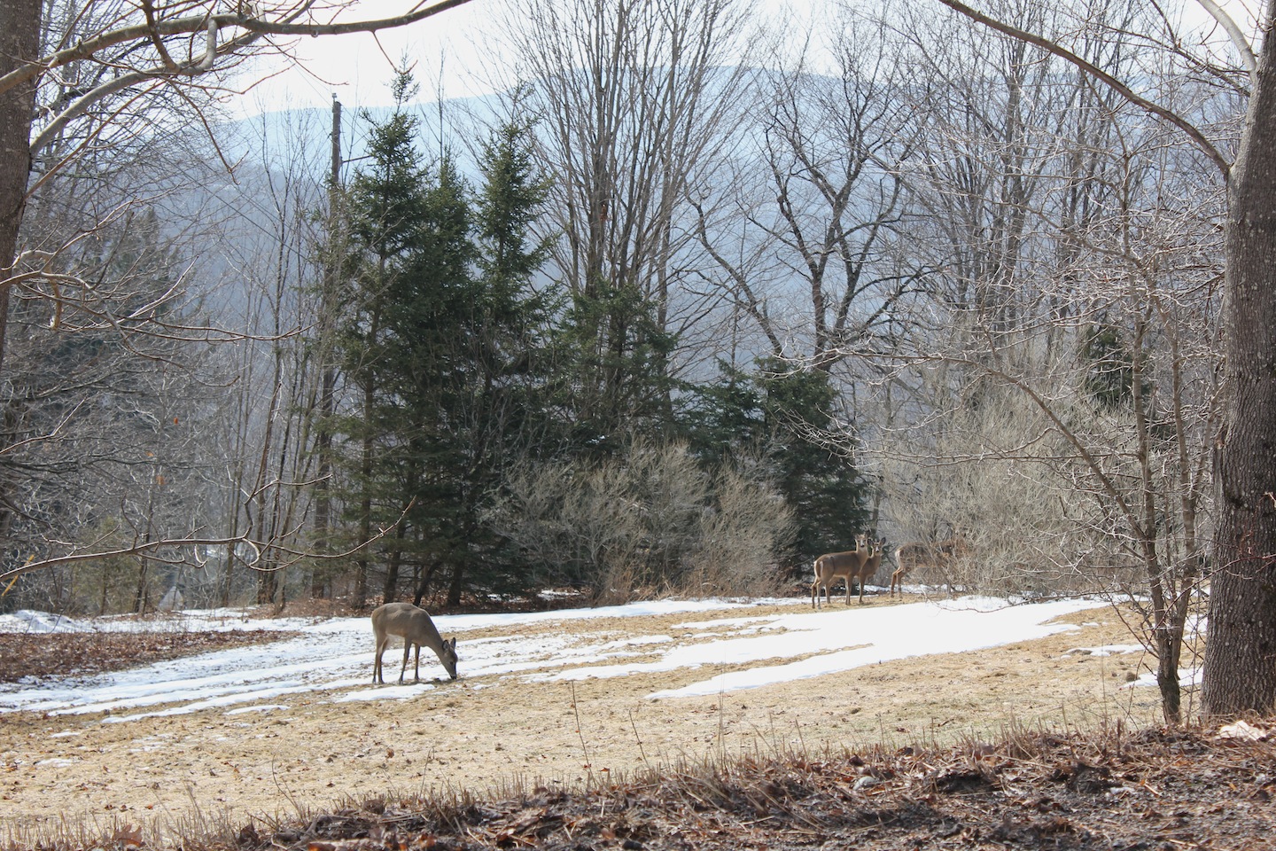
© J.N. Urbanski 11am
Alas, we seem to have taken turn for the worse… 36F at snowing at 10am this morning. If it doesn’t warm up, we’ll have snow all day. The only saving grace: Easter chocolate. Update: the snowfall got heavier in the afternoon and into the evening.
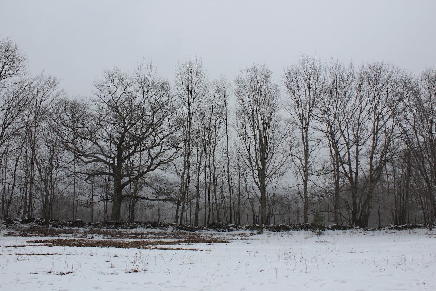
© J.N. Urbanski Noon
38F at 11am with high winds and brief moments of sunshine amidst multifarious cloud cover. Despite low temperatures, the snow continues to melt. Update: still 38F at 2pm with fast moving clouds, high winds and bright sunshine.
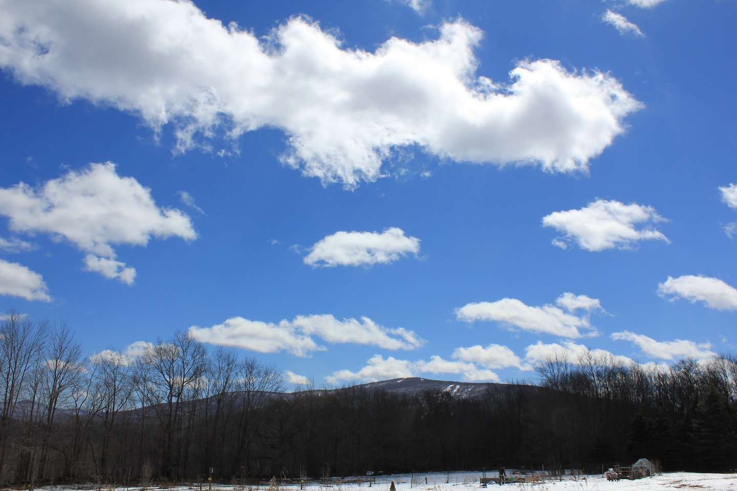
© J.N. Urbanski 1.30pm
50F at 9am; the air thick with fog and unexpected birdsong. Overnight rain had rendered the ground sodden and trees dark with damp. Fog on the mountaintops, mist in the valleys melting snow revealing a nascent landscape. Update: a high of 59F with thick cloud and fog all day. The sun made a brief appearance.
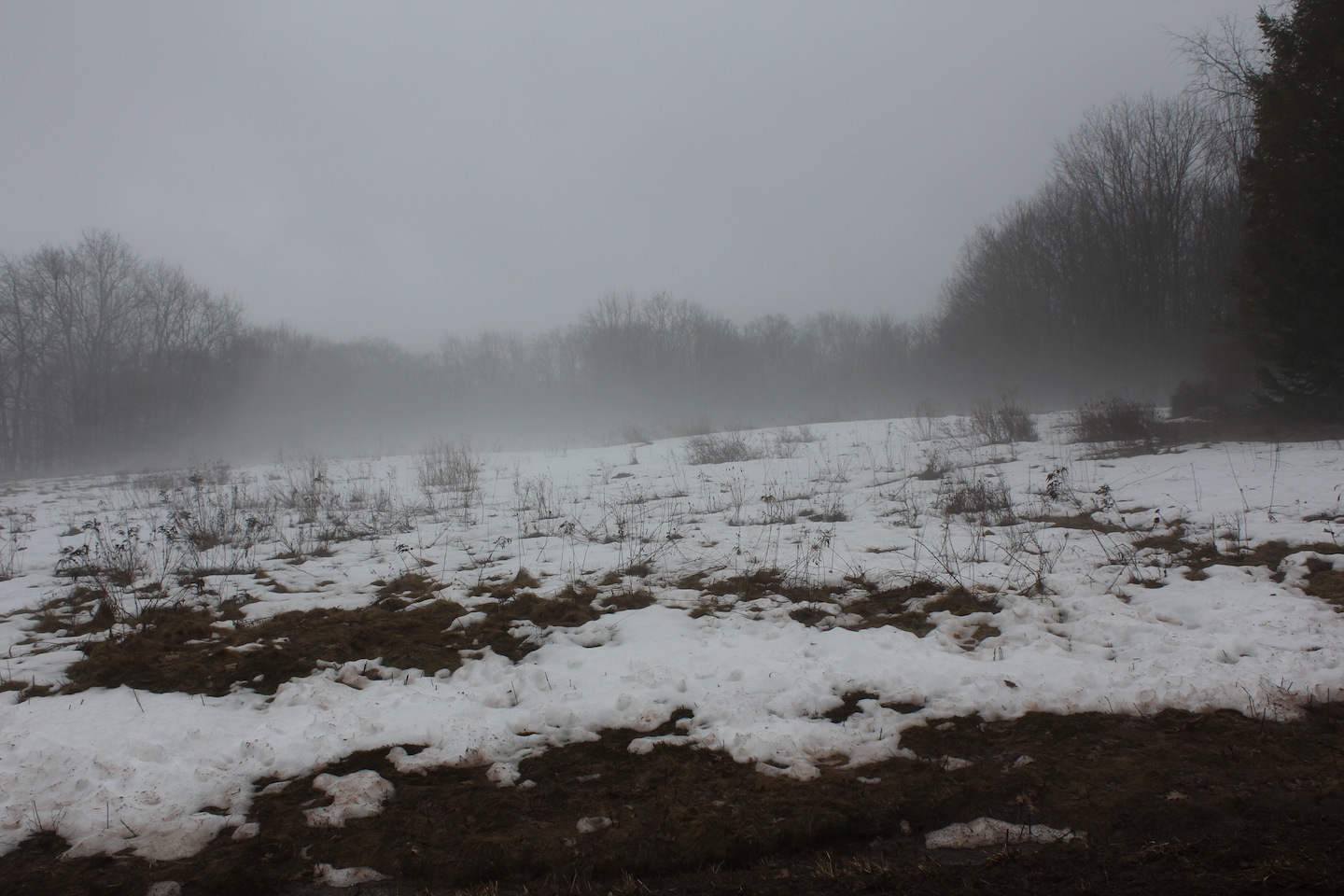
© J.N. Urbanski 8.30am
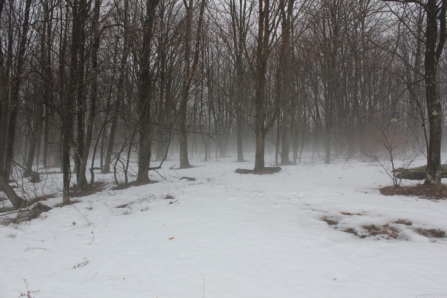
© J.N. Urbanski 8.30am
44F at 9am with bright sunshine poking through the hazy cloud cover. The thermometer was reading 52F at 10am and 55F at 2pm. Today seems to mark the point of no return (to winter).
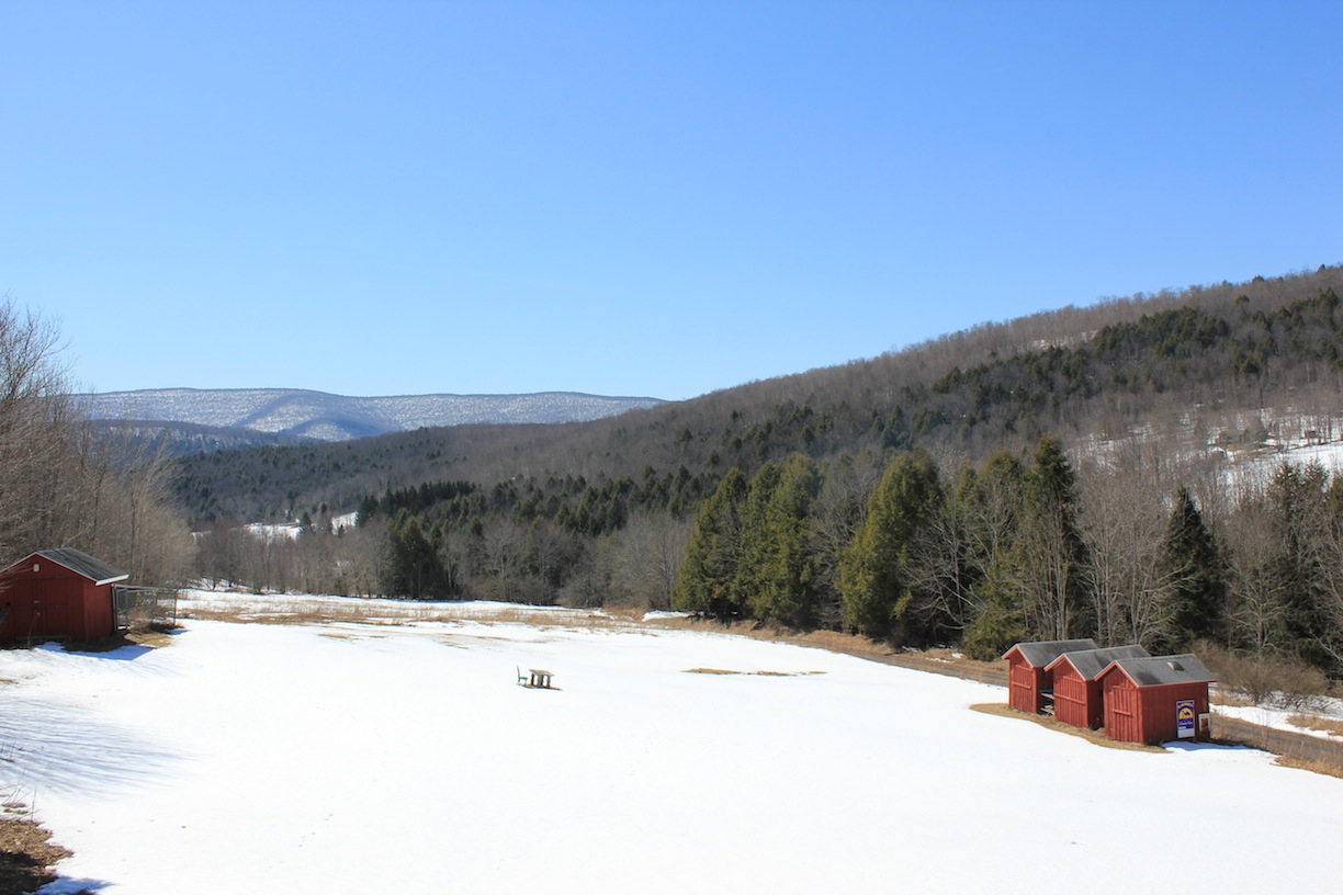
© J.N. Urbanski 12.30pm
18F at 7am. Freezing lines hampering early morning cast-off on the first day of Trout Season at Junction Pool, Roscoe “Trout Town”. Sunny at 8am. Update: 39F at glorious clear skies with light winds at 1.30pm.
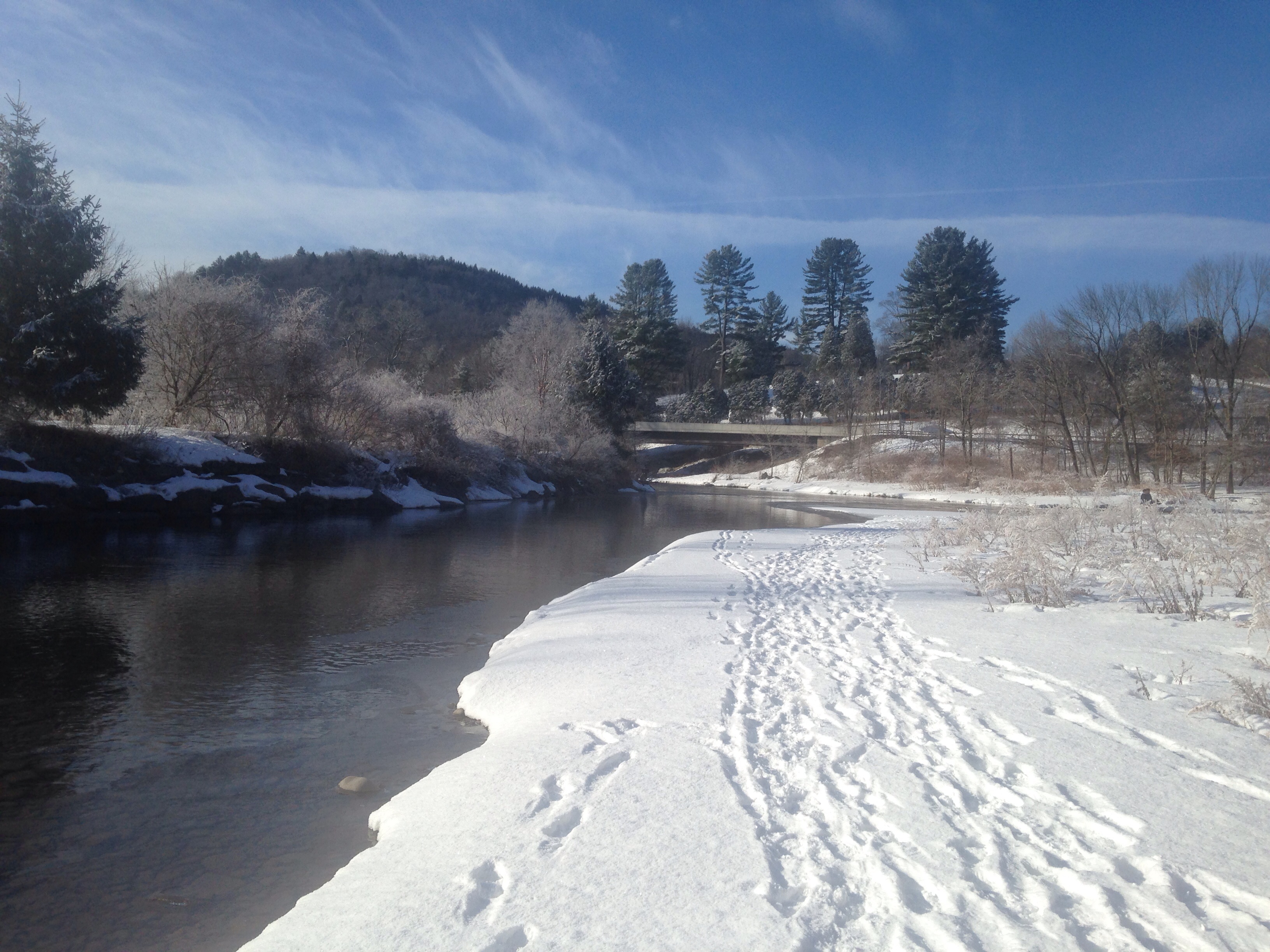
J.N. Urbanski 8.30am
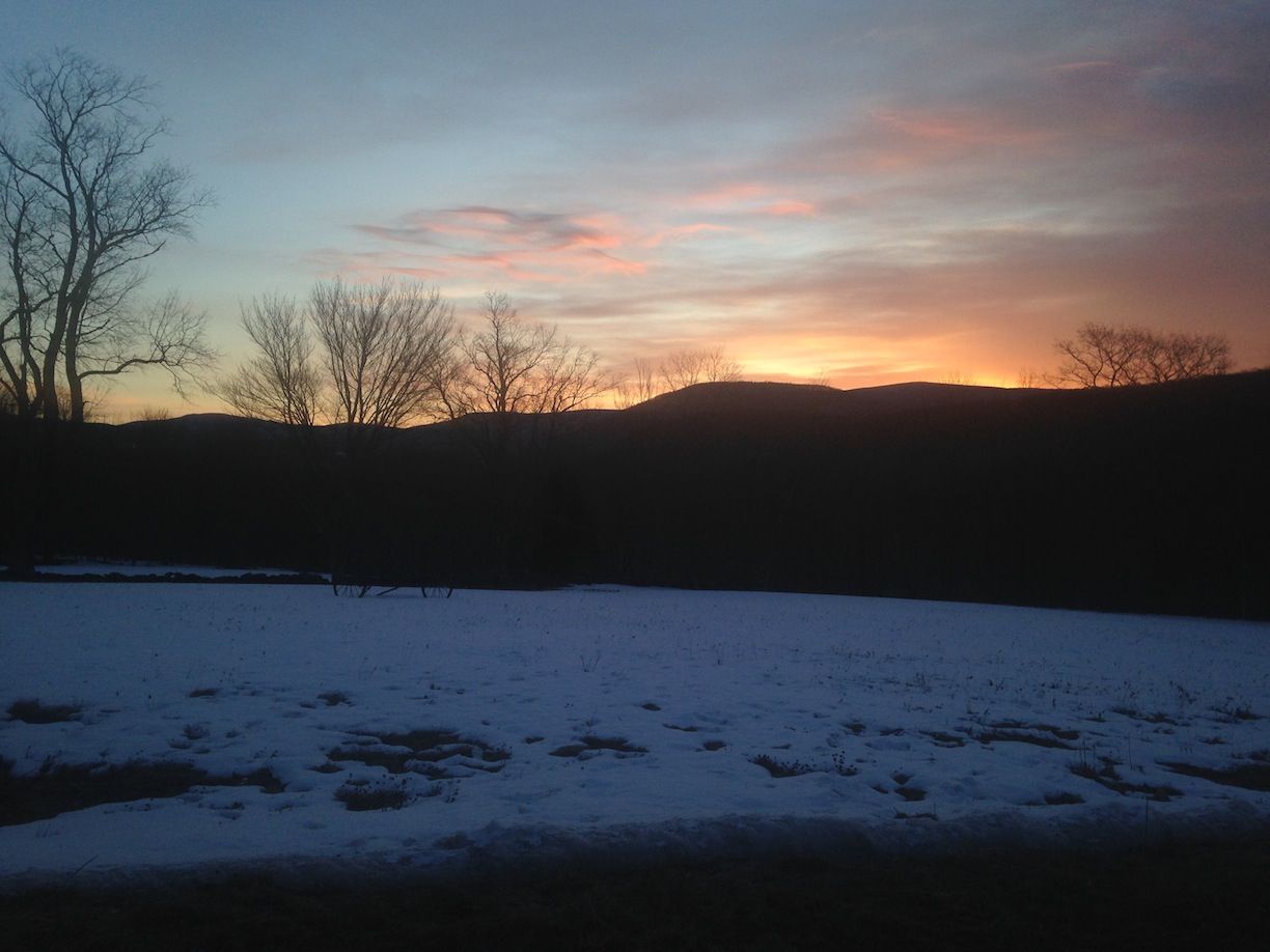
© J.N. Urbanski 6.45am
40F and sunny at 9am with partly cloudy skies. Update: 45F at noon and warm without a coat.

© J.N. Urbanski 11am
32F, overcast and lightly snowing at 8.30am. As far as Spring is concerned it appears to be one step forward and two steps back. The windowsill sage continues to bolt regardless. Update: moderate winds for most of the day with a smattering of hail. The clouds parted at about 5pm.
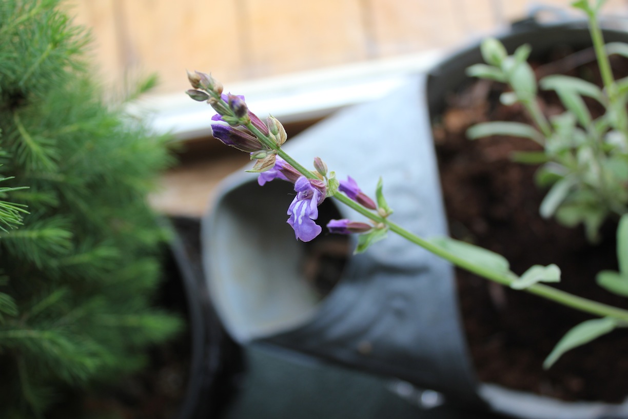
© J.N. Urbanski 4pm Bolted sage
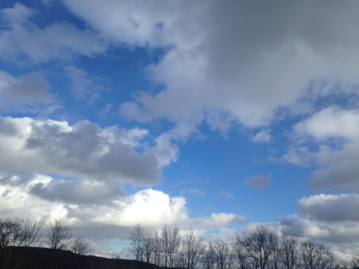
© J.N. Urbanski 5pm
34F at 10.30am with bright sunshine casting vivid, long shadows of the forest in the snow; clear skies stretching down to a hazy horizon. Signs of Spring: your dog finds all the balls he lost in the snow and my obsession with my dead birch tree continues…
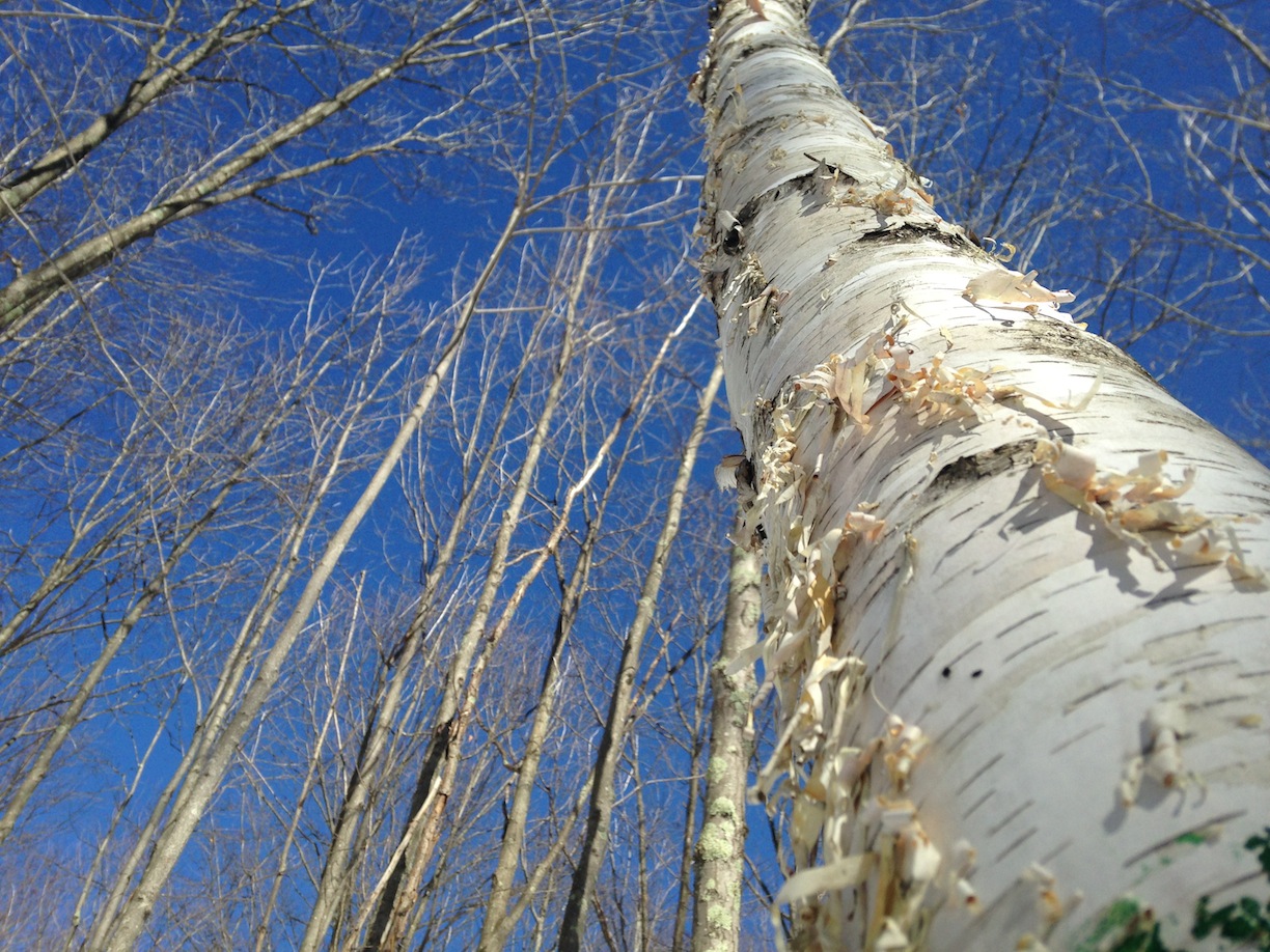
© J.N. Urbanski 3pm

© J.N. Urbanski 1.30pm
20F at 8am with barest of snowfall. Did we blink and miss Summer? Update: light snowfall continued throughout the morning and was much heavier by the afternoon. Really, more snow? Yes, really. 30F by 1pm.
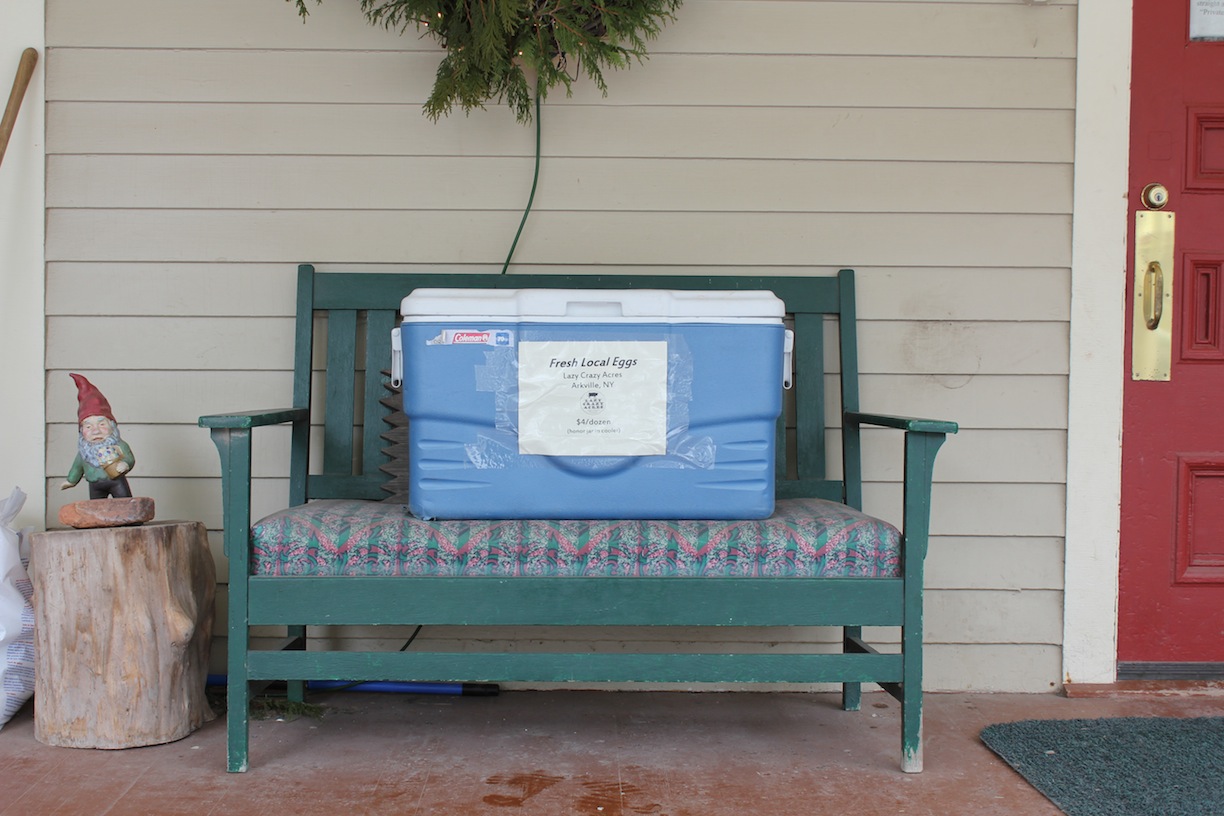
© J.N. Urbanski 12.30pm Local, fresh eggs for sale at River Run, from Lazy Crazy Acres $4 in the cooler
32F at 9am, a light icy rain and the remnants of last night’s fog lazing over the mountains. The snow banks have dissipated and a grungy landscape is emerging. 36F at 1.30pm and no rain.
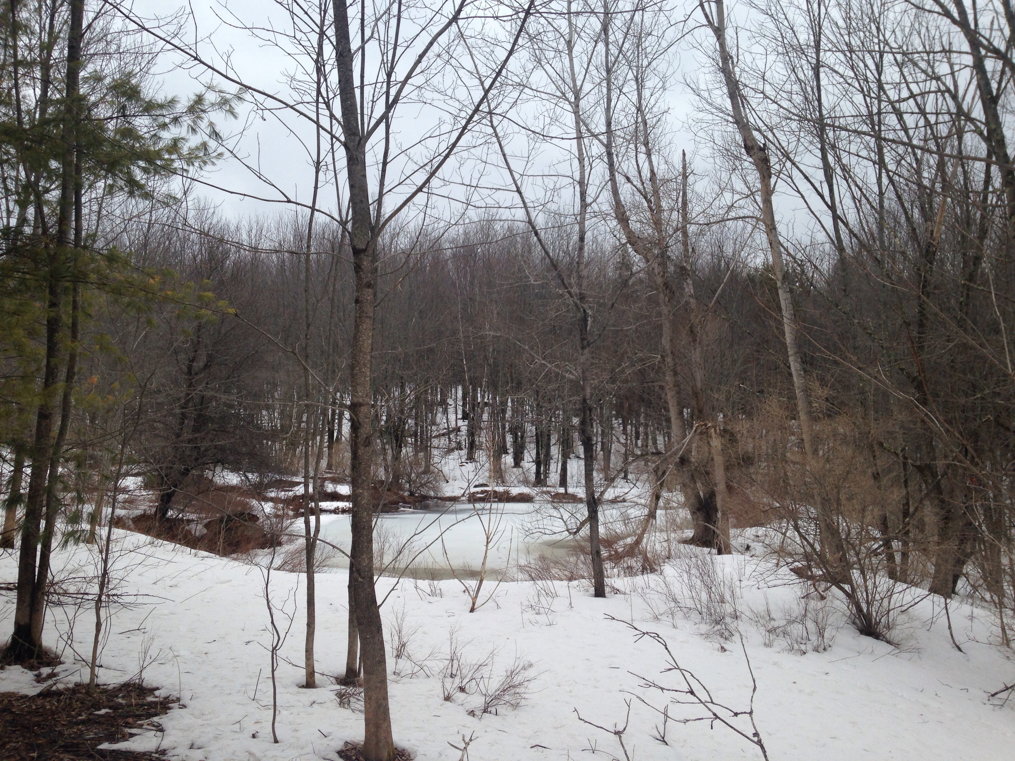
© J.N. Urbanski 12.30pm There’s a swimming hole in there if you look hard enough
A thrilling 37F at 9am, rising to 45F by 1pm. Mysterious fog thickening heavily into the evening. Spring on the way?
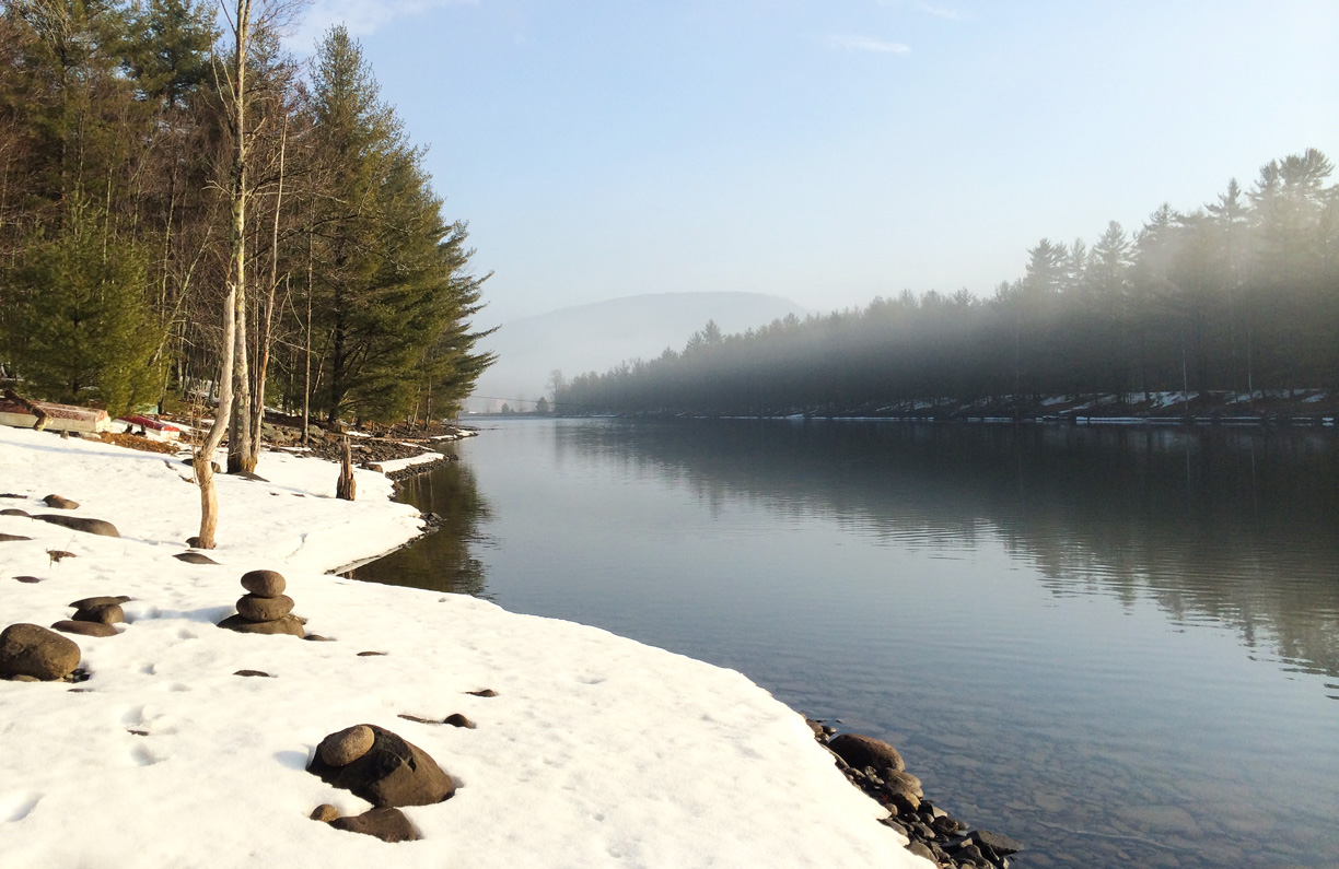
© Margaret Helthaler Rondout Reservoir
25F at 9am and partly cloudy, partly sunny. An enigmatic day.
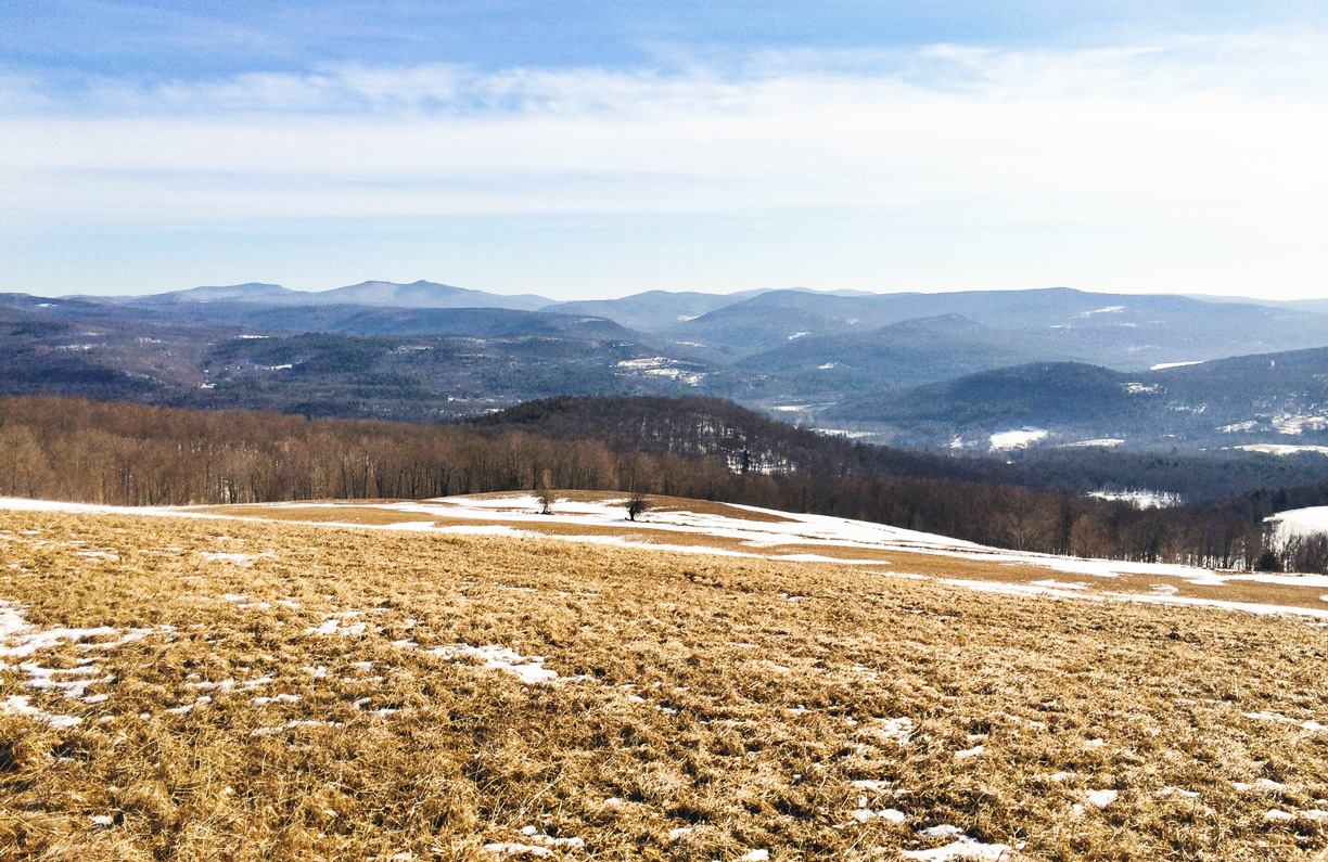
© Margaret Helthaler View from the top of Thunder Hill in Grahamsville