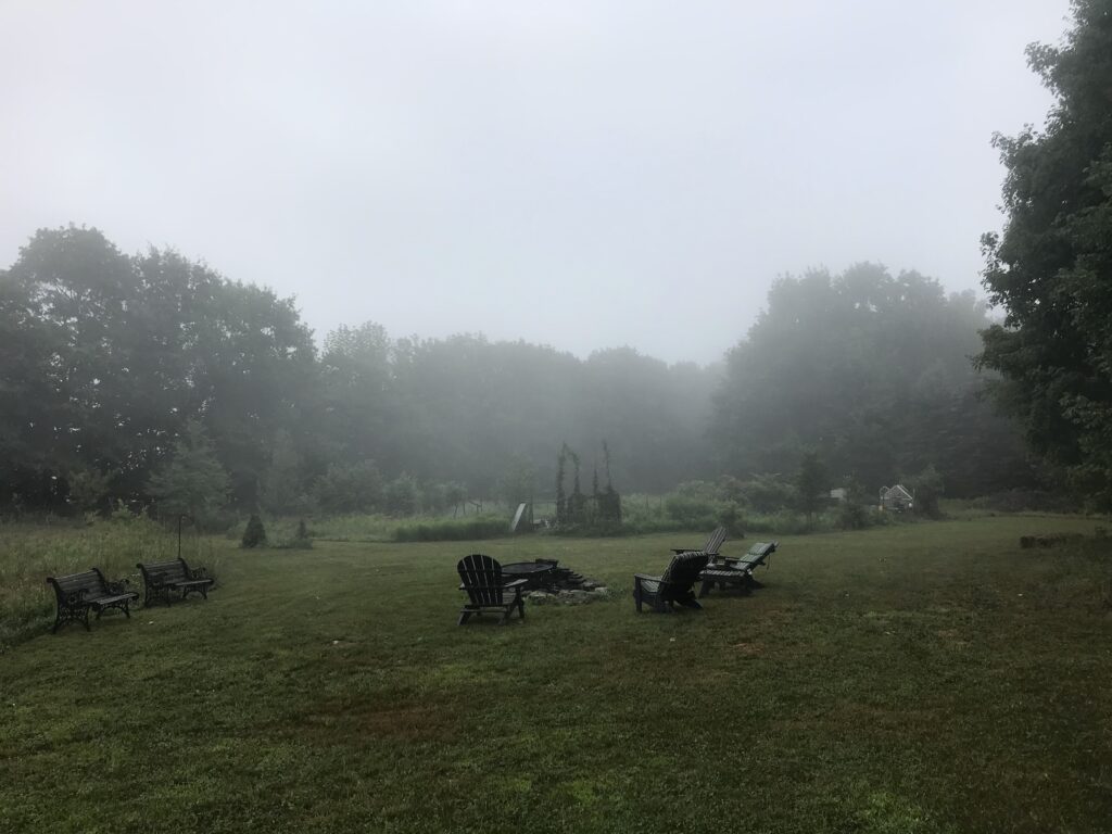
Overnight rain spills into the morning, then a slight break in the cloud cover with some sun and a high of 66F. Still humid, and bright despite thunderous looking clouds.
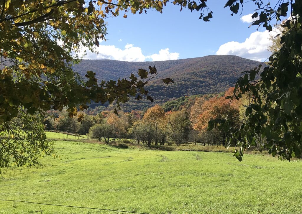
Overnight rain spills into the morning, then a slight break in the cloud cover with some sun and a high of 66F. Still humid, and bright despite thunderous looking clouds.
A high of 64F but still humid and warm in the frequent bursts of sun. Overcast with more swirling, grey-lined clouds and early morning fog. Soaked with overnight rain and a low of 52F. Schoharie County has more dazzling colors than its southern neighbors: vivid reds, plums, maroons and magentas join the oranges and yellow. A riot of color in the Catskills. A glorious Fall.


More cloud cover, mist on the peaks and a high of 71F. Humidity keeping us at t-shirt weather. Continual thick cloud cover hampers a chance at portraying the fall colors in all their glory. Early evening rain becomes more torrential overnight.
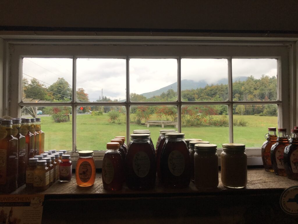
Overnight rain ends mid-morning making for another misty morning landscape and overnight high of 61F. An overcast and humid day rising to a high of 73F. We’re approaching peak fall as the oranges appear with the yellows and some sparse reds. Cloud cover dampens the colors.


Humid and overcast with thick rolling cloud and a high of 73F. Autumnal fireworks in full effect: approaching peak leaf peeping. Overnight lows have risen to the sixties.


Thick mist rising out of the valley in the morning. Humid and overcast. A high of 72F with a light breeze. T-shirt weather and almost peak fall season with overnight reds and oranges joining the yellows. Spectacular.


A high of 80F on the peaks by the afternoon with the fall colors popping in the brilliant sunshine and fat, billowing clouds. A glorious fall day.

Thick mist rising out of the valleys early morning and hanging in the air like fog until the afternoon. Humid with ominous, rolling cloud that dispersed at sunset and a high of 72F that continued to sunset. A steamy fall day. Some reds, but mostly yellows that are much more prominent in the midday sun.
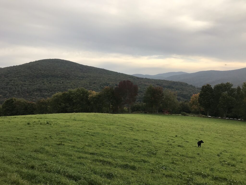
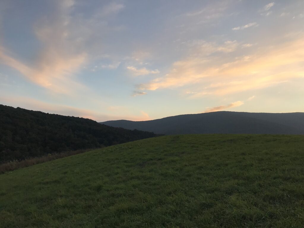
A warm, sunny morning rising to 59F by 10.30am with a jumble of cloud under a glassy sky. A high of 70F and a warm evening with an overnight low of 53F. Landscape is fading to yellow a little further. T-shirt weather today.
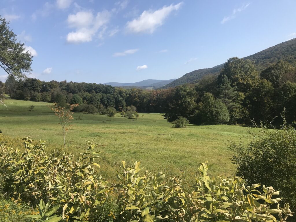
Fall began at 9.30am this morning. A warm, cloudless day with a high of 67F. T-shirt weather in the sun and sweats in the shade. The landscape looks dark green with red patches in the bright sunshine, but the setting sun casts a yellow haze over the foliage that is gone by morning.
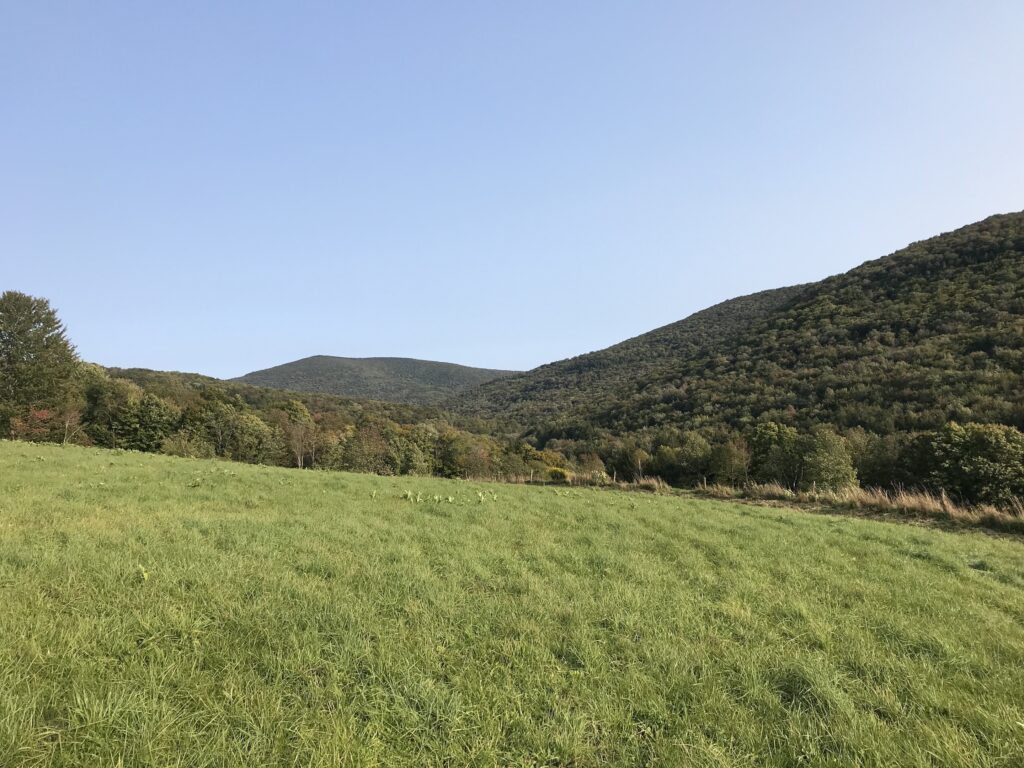
Hazy cloudless sky, bright sunshine, cool in the shade. A high of 63F. A chilly but bright evening, with the waning sunset making the landscape look much more yellow than it is on the last day of summer. Overnight low of 31F.

A chilly start to the day, but still sunny all day with blue glass sky with only a few slender clouds on the horizon like someone didn’t wipe it clean properly. Overnight low in the thirties again and a high of 59F.
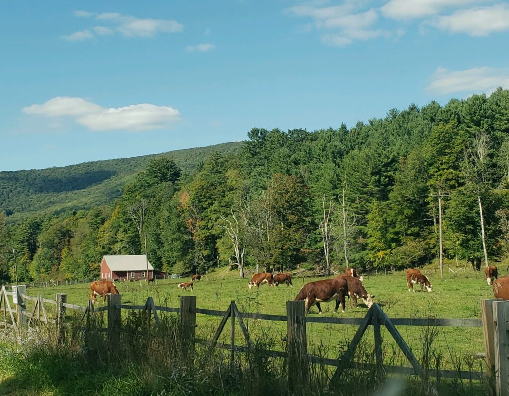
A morning full of dew with frost receding into the shadows after the overnight low plunges to 32F. A day of full sun with a blue lightbox sky and a lazy breeze. A high of 59F but still warm in the sun. The red leaves become a bit more prominent against all the green, but no fall explosion yet.
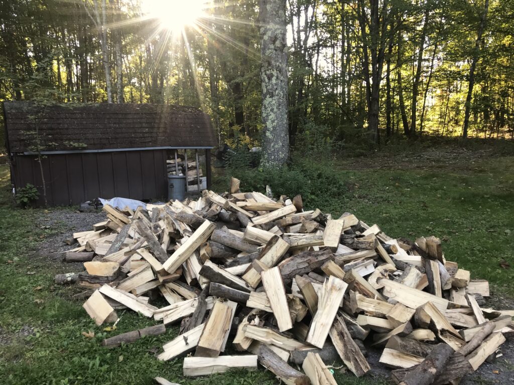
Chilly yet still humid and not quite sweater weather. Autumn is emerging as a general dulling of the green with some blotches of red. Breezy and warm in the sun, with only wispy, thin cloud. A high of 65F. A frigid but clear night full of stars.
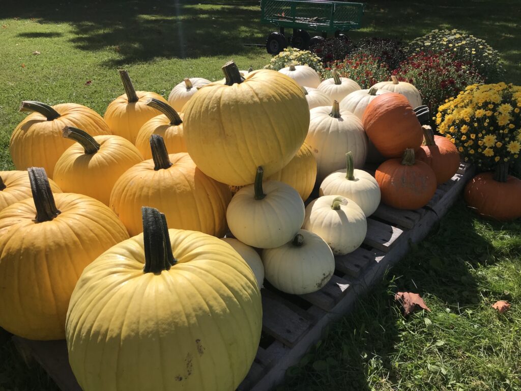
Warm and sunny with faint patches of pale red dotting the landscape. A light breeze blows handfuls of yellow leaves over the road. A high of 67F. Sunset over a cloudless, milk glass sky. Fall is on its way.
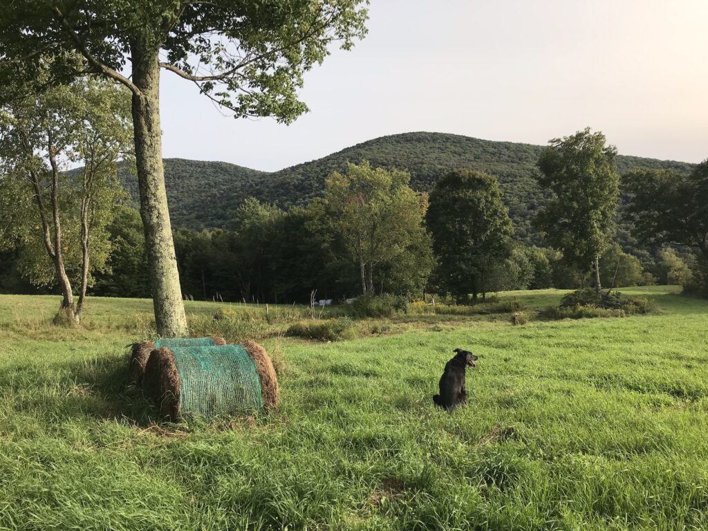
Humid and muggy with low-lying mist and a high of 73F. The last days of t-shirt weather. Weekend picnics continue at East Branch Farms.
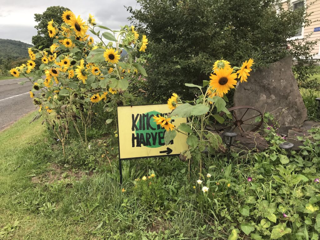
Humid and misty with rain for most of the day. Muggy with a high of 79F and fog clinging to the landscape until late evening. A soggy day.
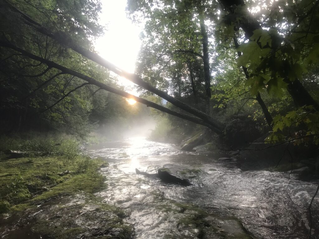
A warm start to the day, rising to 77F by 11.30am. Humid with shimmering cloud, brief periods of brilliant sun and a high of 81F. Sultry.
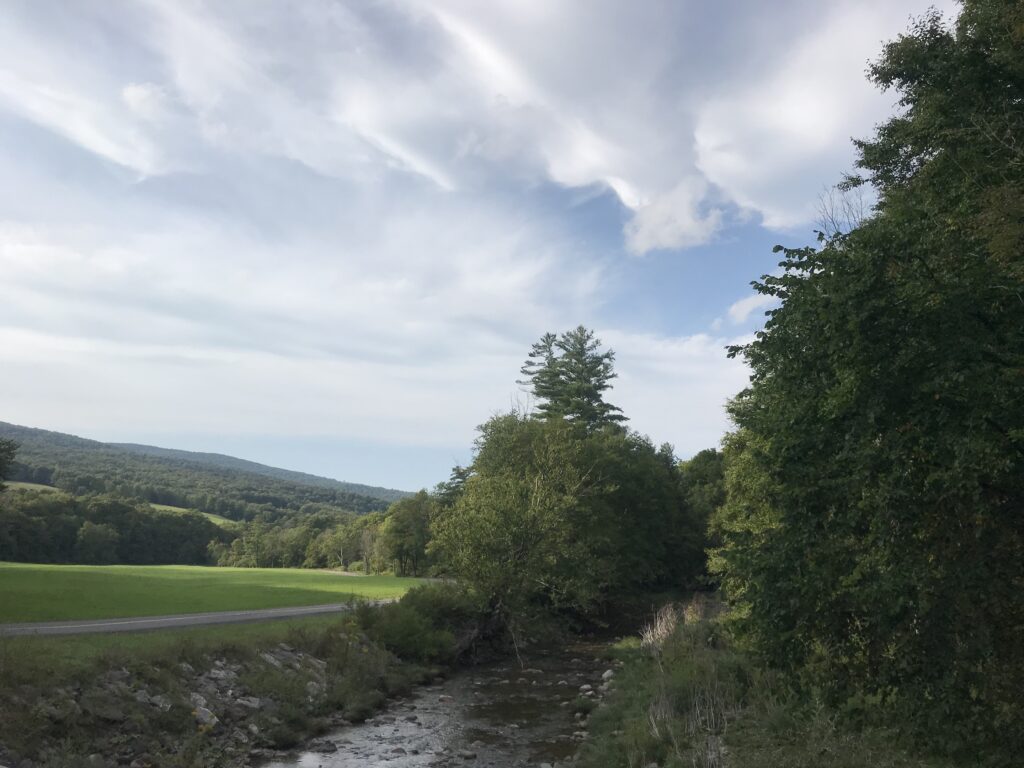
Dewy grass sparkles in the rising sun. A gorgeous, serene day with some clouds and a high of 81F. Lavender sky at sunset.
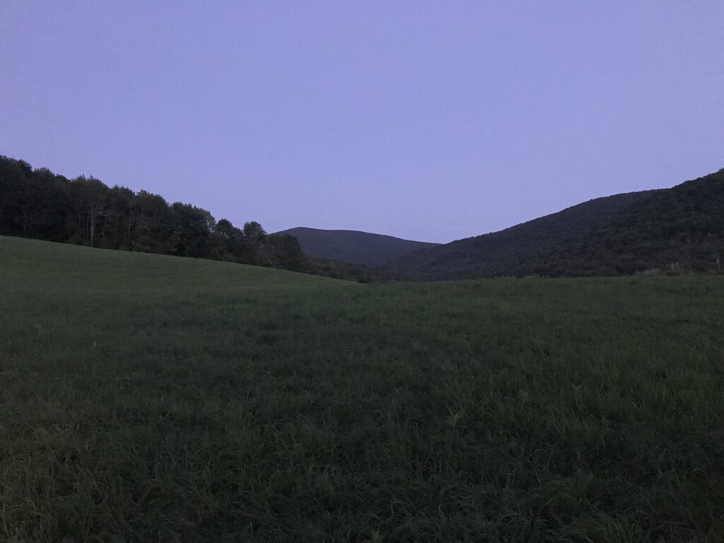
A cool, dewy morning with a stiff breeze. A cloudy day with a high of 73F and breezy with thin late-afternoon clouds dispersing towards dusk.
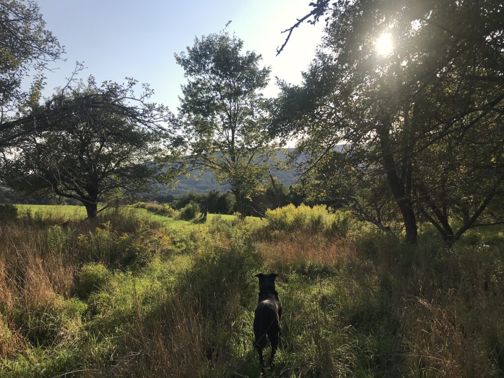
A cooler day with a high of 65F, but quite humid, with pre-dawn rain for an hour at 4am that broke the four day sun forecast and ruined the downed hay. Layers upon layers of tumultuous clouds that lighten up by dusk.
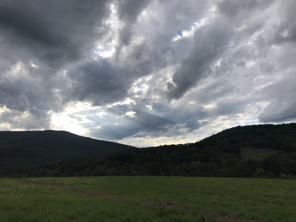
Bright and sunny for most of the day with distant armadas of plump clouds and a high of 74F. The orchard is ready for apple picking.
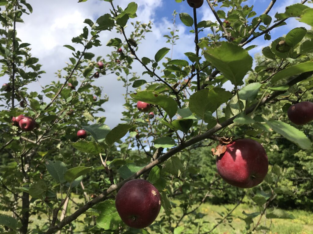
At last, some sun. Sunny for the most of the day with clear skies until late afternoon when wisps of cloud appeared and gradually got thicker. A high of 74F but cool in the shade. A slight, barely perceptible reddening of the landscape.
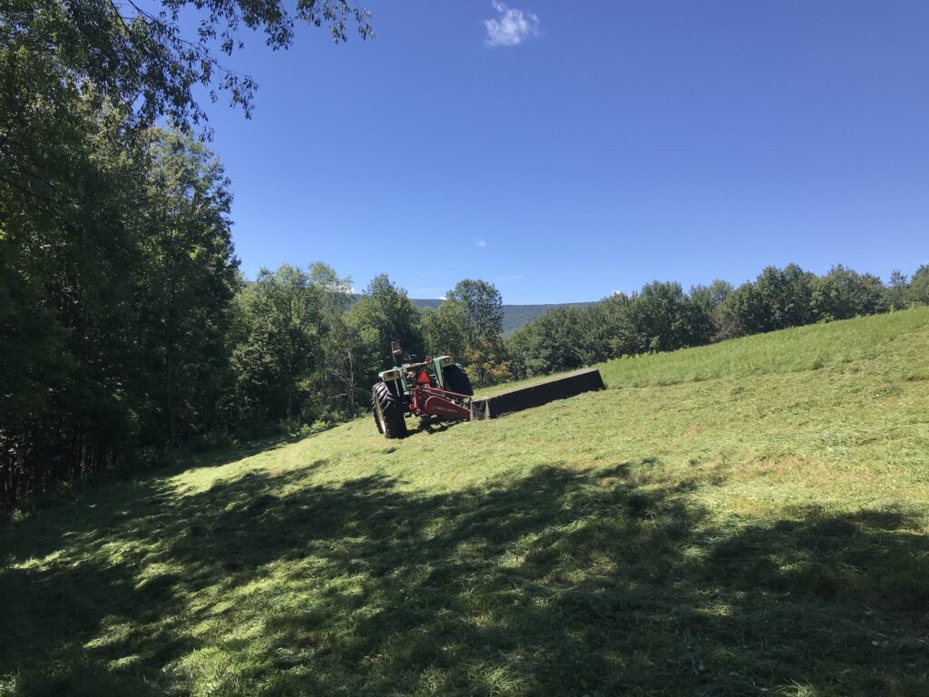
A dew-soaked morning full of mist, turning sunny for a brief while and then, in moved the clouds, light blue and creamy, like blueberry milkshake until they went all gray like dirty dishwater. Humid with a high of 75F. Dismally dull until late afternoon when the clouds dispersed into wisps until dusk.

Morning: more rain, heavy and wet, the kind of rain that you go out in for a few seconds and get totally soaked. The rest of the day: September’s pervasive mist and muggy with layers of impenetrable clouds and a high of 72F. Sultry.
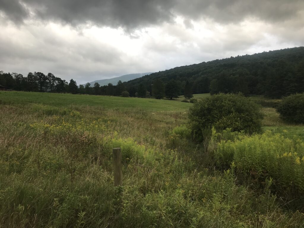
A chilly morning. Overcast with misty rain for most of the day and a high of 70F. A moody day.
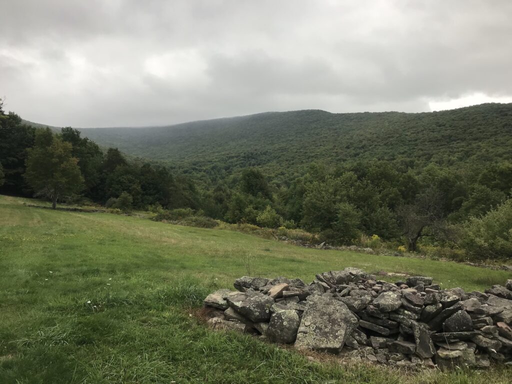
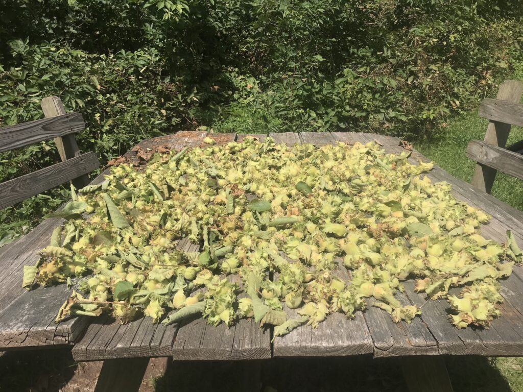
A cool but bright, sunny day with low clouds and a high of 71F. Perfect hazelnut drying weather.
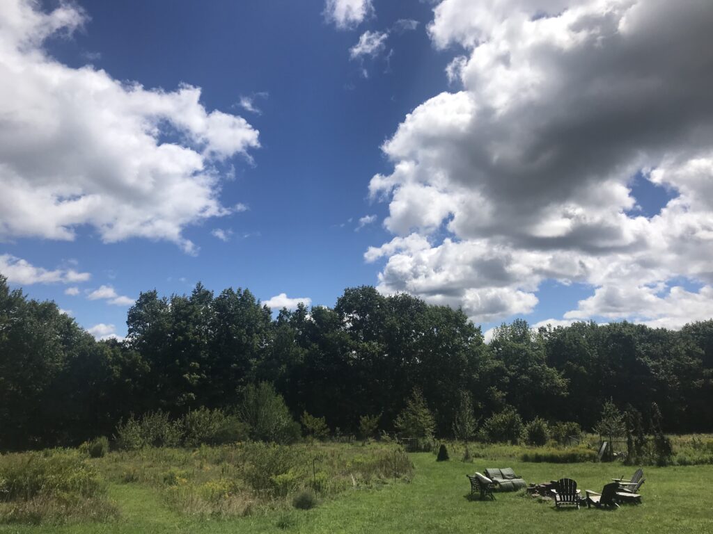
A cool, breezy morning with scattered showers and piles of chunky, grey clouds looking like your comforter on a Sunday morning. The clouds clear to allow some afternoon sun and a high of 72F. The summer of 2020 winds to a close with some show-stopping weather.
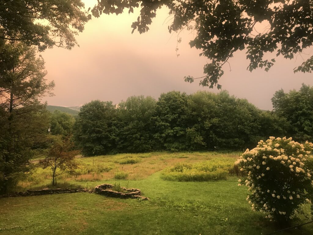
Rain began just before dawn and continued until late morning. Muggy with moody, low lying cloud looking like rolling, grey waves. Late afternoon sun and a high of 79F. Early evening rain storm turns sunset into an extraordinary light show. An enigmatic day.
More rain in a week of continual rain, including Thursday’s afternoon tornado and surrounding storm. Humid with high of 77F with a thick blanket of cloud.
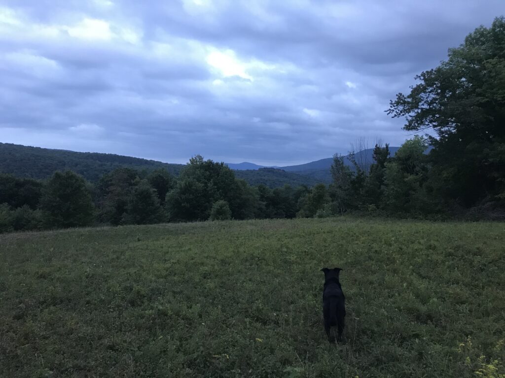
A hot, humid and sunny morning and a high of 82F. Another gorgeous summer day.

A mix of sun and thick cloud with a high of 85F. 20 minutes of heavy, late afternoon, hay crushing rain.
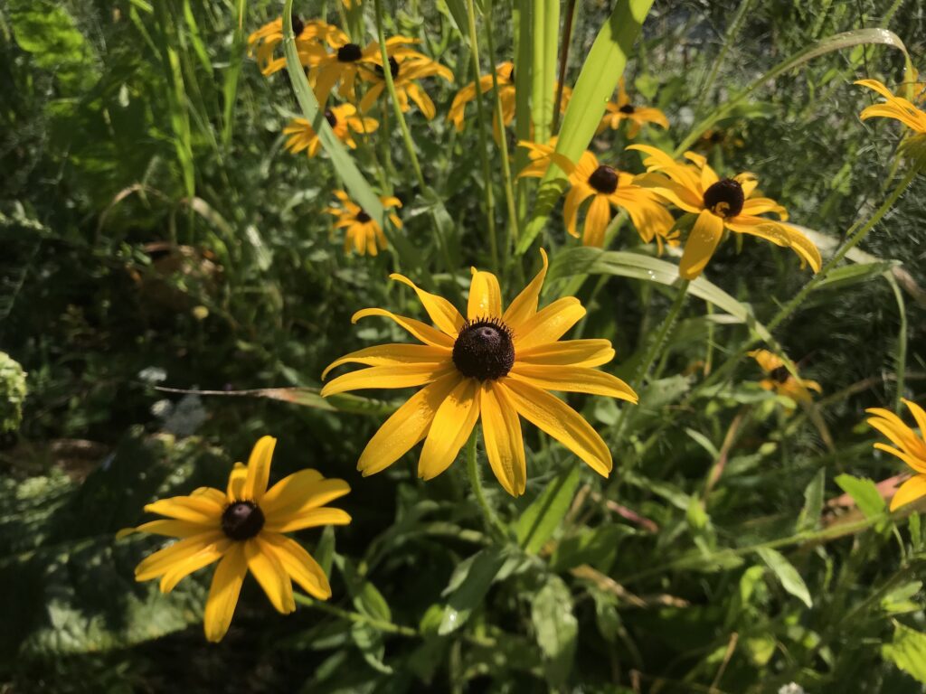
Sunny and hot with a high of 81F and hazy cloud.
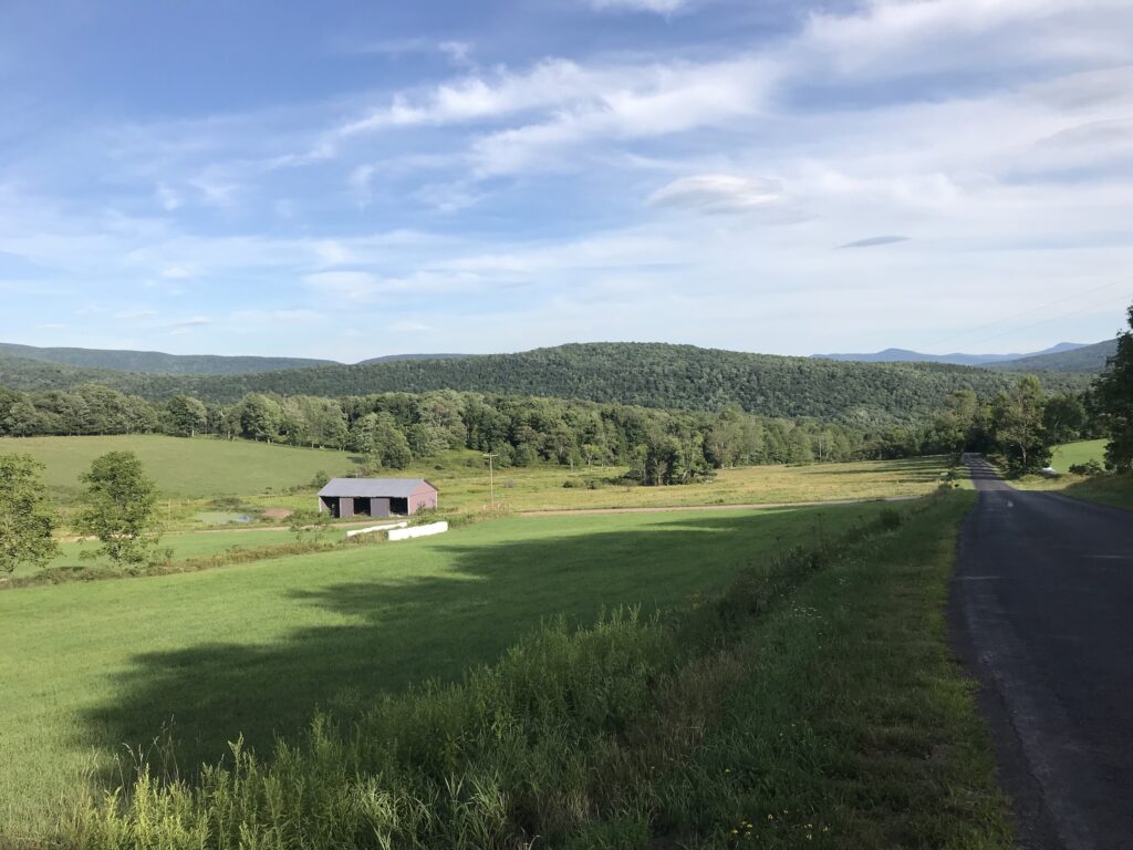
A chilly start to the day: 48F at 7am, rising to 75F by mid-afternoon by which time we had clear sky and only slivers of cloud remained.

A cloudy, humid morning but still cold at 49F, rising to 63F. Overcast with intense cloud cover for most of the day, with the sun coming out late afternoon. A high of 73F. Alfie guards the orchard.
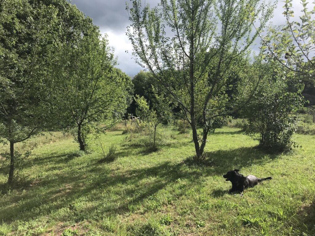
A hot and hazy start to the day. A high of 76F with a cooling breeze and big billowing clouds. Gorgeous summer day.
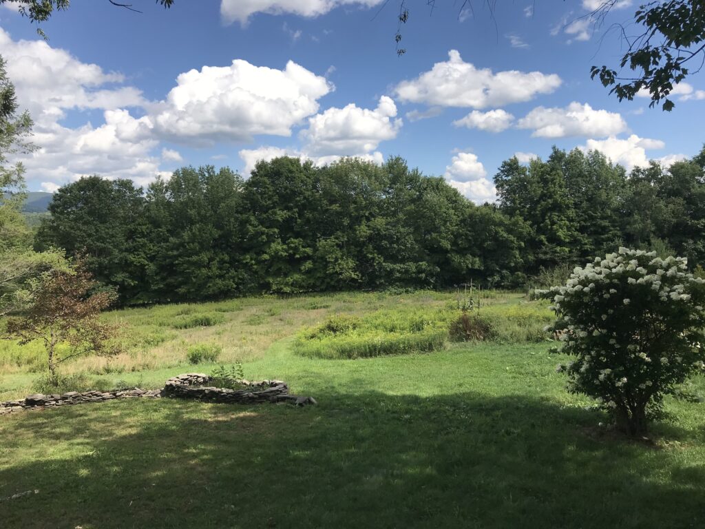
A warm and sunny morning with an even hotter afternoon for a high of 76F until the rain at 4pm. All the clouds passed through today, like there was a cloud convention down the road and everyone was required to show up.
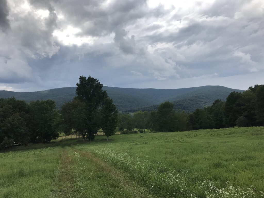
A much cooler morning, fresh and breezy with mist over the mountains. A mix of sun and clouds for most of the day with a high of 72F. Clouds clearing mid-afternoon. A beautiful summer day.
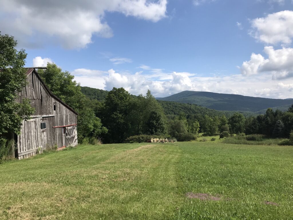
Halfway through August already. Dreamy morning sky with clouds just sparse enough for it to be bright and sunny. A high of 75F. Breezy and mild. Day 3 of hay making: baling.
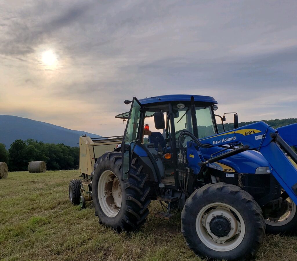
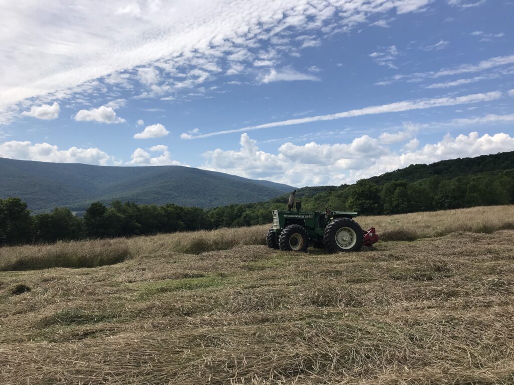
A high of 81F yet cooler than yesterday because of a stronger breeze and plump, billowing clouds, some on the dark side. Tractor Lesson Day 2: fluffing up the downed hay like an eighties hair-do.
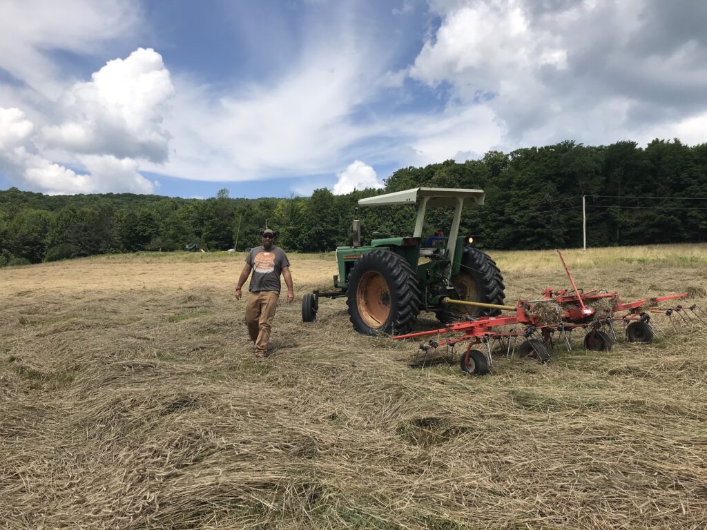
Hot and dry with an assortment of scene-stealing clouds and a light breeze. A high of 80F but feels like a scorcher. A good day for hay-making.
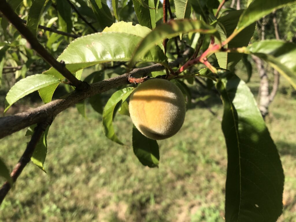
Another hazy morning with mist in the valley and the occasional, gentle breeze shaking last night’s rain out of the trees. A high of 81F. Sunny at dusk. Peachy in the orchard.
A smoking hot Tuesday: balmy with a high of 86F. Hazy sky. The perfect week for hay baling. Except until it rained torrentially at 10pm.
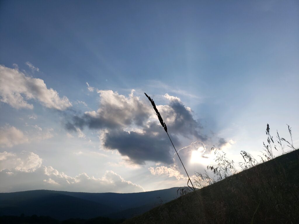
Another misty start to the day and fresh, but getting gradually hotter and hotter until a high of 90F. Rain at 5pm. Steamy.
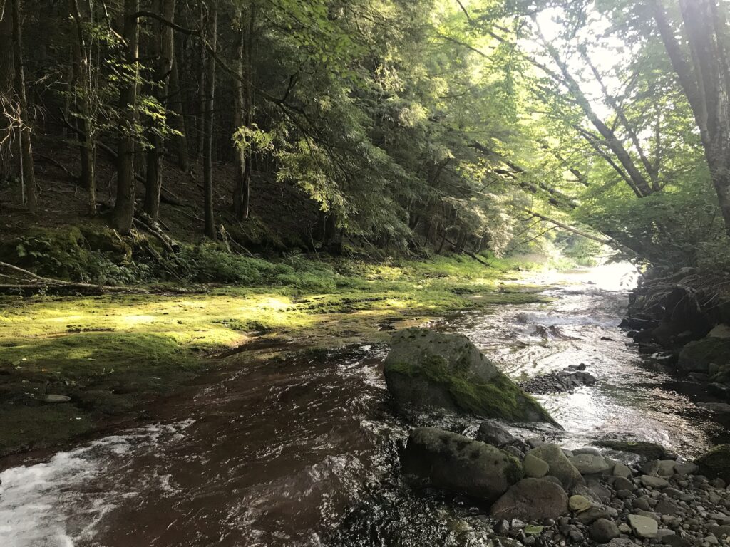
Another misty morning rising to a sunny high of 83F with rolling clouds.
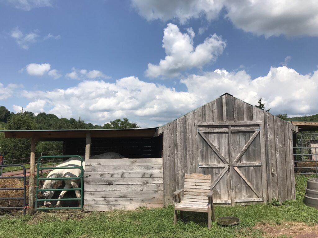
Misty, hazy morning sky, with mixed clouds and warm in the sun. Grey-bottomed clouds threaten rain in the distance. A high of 81F.
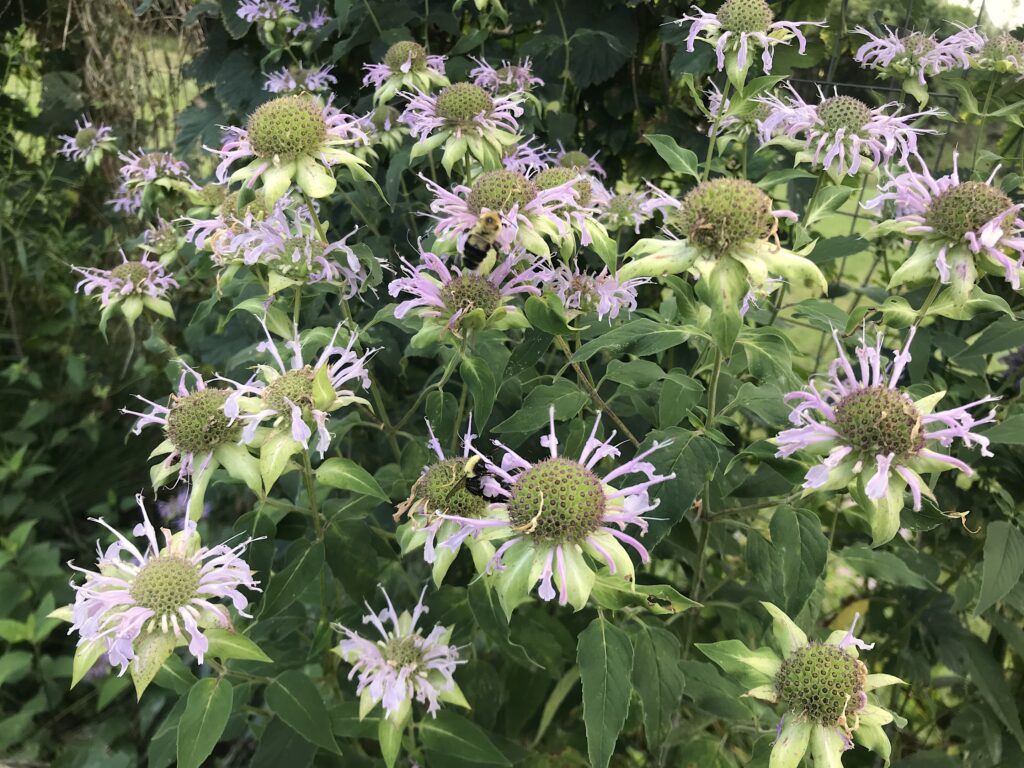
More overnight rain spilling into mid-morning. A mix of sun and clouds for the rest of the day. A high of 75F.
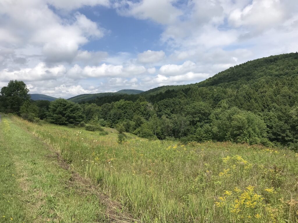
Cool and breezy with a high of 77F. Warm in the sunshine. A sky full of mixed clouds like they were thrown into the air. This had better not be the end of bikini weather. That’s all I’m saying.

A fresh and breezy morning with plump clouds set in a milky sky. A high of 75F. Post-rain forest perfect for foraging.
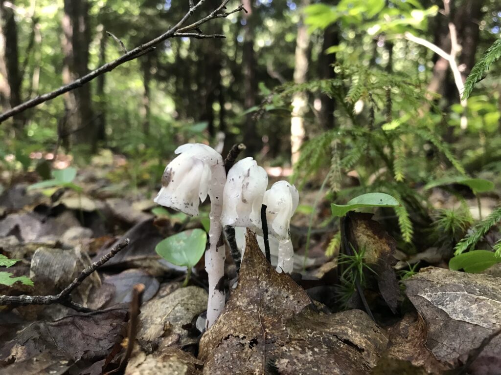
Torrential rain all day until 5pm, (3.7 inches by 4.30pm), tornado watch and a high of 69F. Stormy. Two hours before dusk, the clouds roll away across the sky like curtains opening on stage to reveal a sunny sky like nothing happened, but we’re still all soaking wet and cursing.
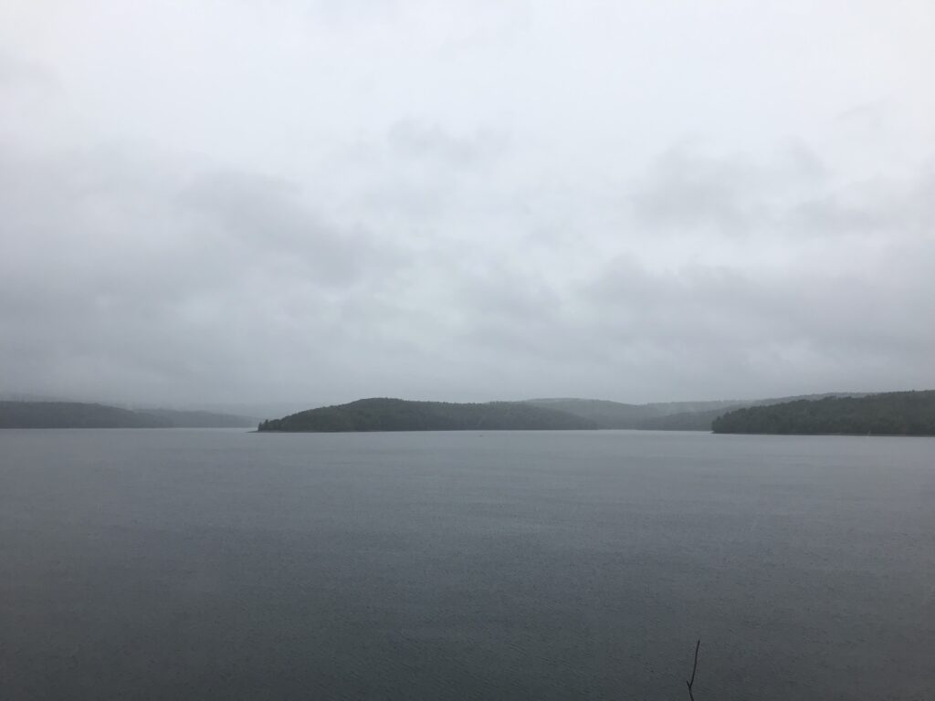
Sunny and dry with scattered clouds and high of 81F. Baking in the sun.

Early morning rain continued most of the afternoon with scene stealing clouds rolling away. Sunny for the rest of the day. A high of 86F. Scorcher.
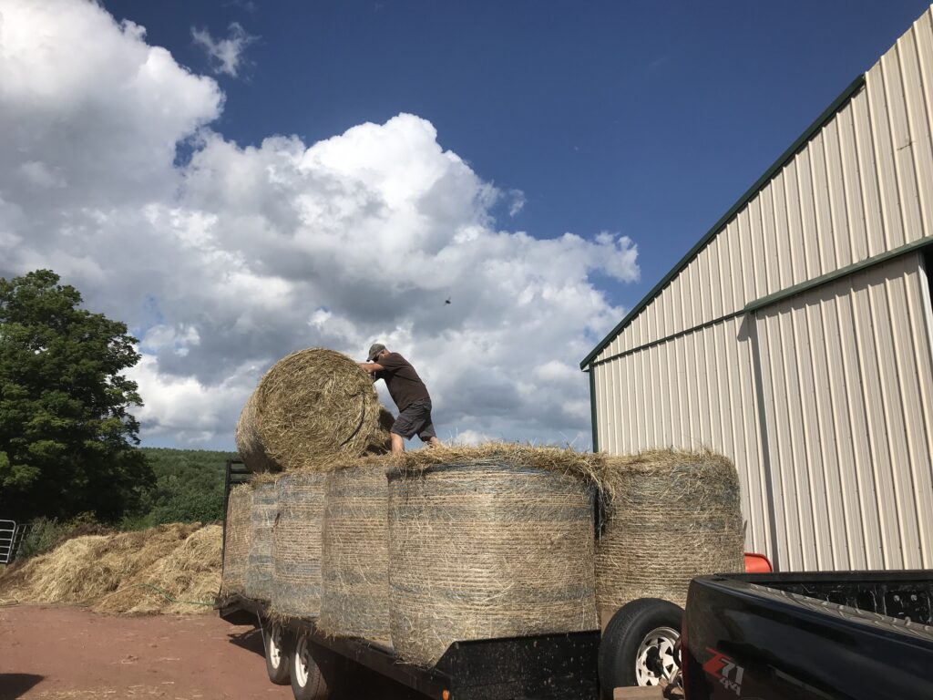
Steamy, muggy with heavy swirling cloud and a slight breeze with a high of 84F. Hazelnuts ripen.
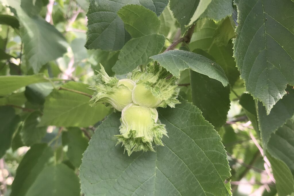
Sunny and mild. A high of 82F: a fair close to July.
A muggy morning with mist rising lazily from the valley and evaporating into a cloudy sky. A high of 80F and more torrential rain late afternoon. Steamy.