© J.N. Urbanski
Seven of the final nine peaks left on my list to be climbed to qualify for full membership in the Catskill 3500 Club are all bushwhacks and Halcott Mountain, which I climbed last week is the second lowest bushwhack in the Catskill 3500, but somehow felt like the steepest. From now until I finish my 39th climb, it’ll be mostly compass, map reading, being slapped in the eyeballs by saplings and tree branches, falling face first into slush, sliding backwards over ice into a tree, hauling oneself over giant ledges, and watching the summit move upwards as you climb towards it. (“That’s it! Wait…”) In fact, it’s all uphill from here.
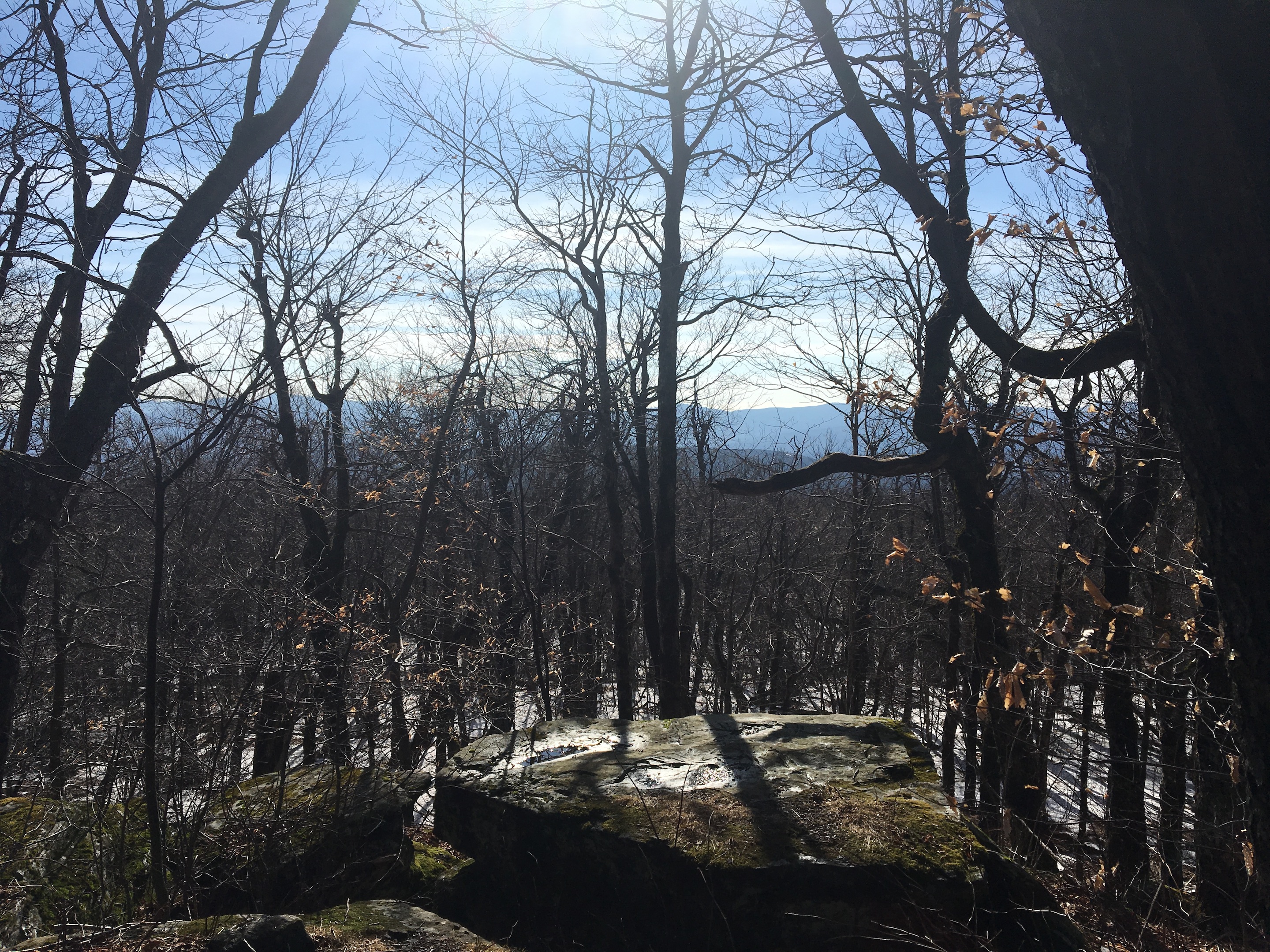
There’s a level of uncertainty that takes you out of your comfort zone when there’s no trail. I’ve mostly ended up climbing directly up a mountain regardless of what’s in the way because you have to be quick and keep a hold of your bearings. On the peaks that have trails, those trails are designed to take you gradually up the mountain on a narrow path that winds up and around the sides of the mountain and they are clearly marked. During winter backcountry hiking, one false move or bad compass reading and you could meander over to another peak.
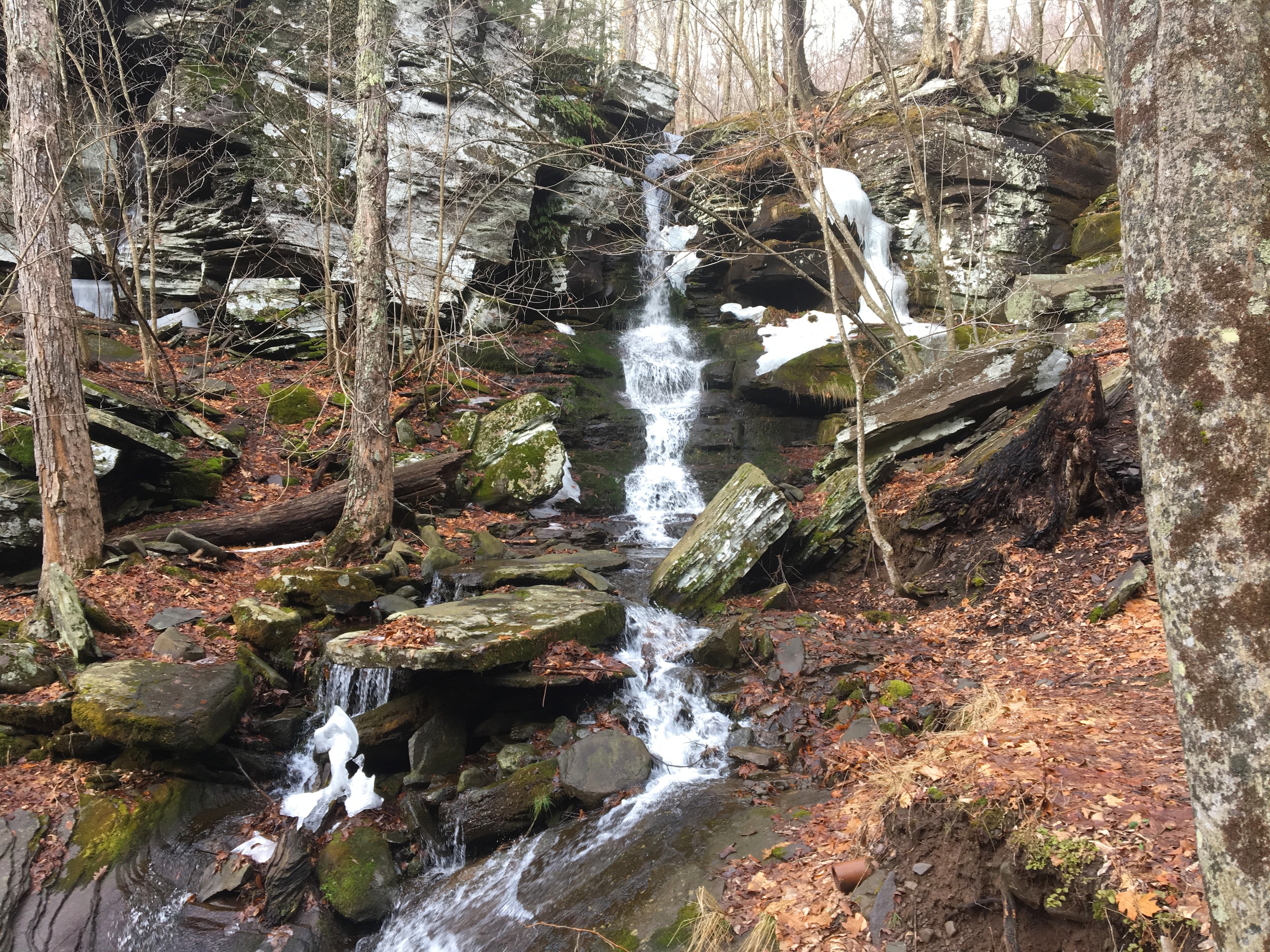
Halcott Mountain has the advantage of Buttermilk Falls, and a long tributary to the Bushnellsville Creek that runs south into the Esopus. The base of Halcott is on Route 42 just south of Deep Notch in Greene County, at the second parking lot on that road if you are driving north from Route 28. This small roadside parking lot is almost adjacent to Buttermilk Falls and holds about eight to ten cars. We started our ascent by crossing at the top of Buttermilk Falls (at the top left of this picture).
© J.N. Urbanski
We hiked northwest away from the falls with the aim of reaching the north bank of the large tributary with the intention of following that to its origin and then walking west to the summit. The tributary turned out to be a series of loud rushing falls through a deep, steep-banked ravine. If I had been feeling fitter, I might have hiked down into the ravine and followed the flowing stream upwards, but my thighs just couldn’t handle it. We’d already climbed over large fallen boughs, through brambles, bushes and saplings. On the way, we encountered some of the thickest, well-made stone walls in the Catskills and a stand of enormous pine trees. It seemed like an area that had been untouched for a few hundred years, unlike the rest of the Catskills that was logged a hundred years ago.

© J.N. Urbanski
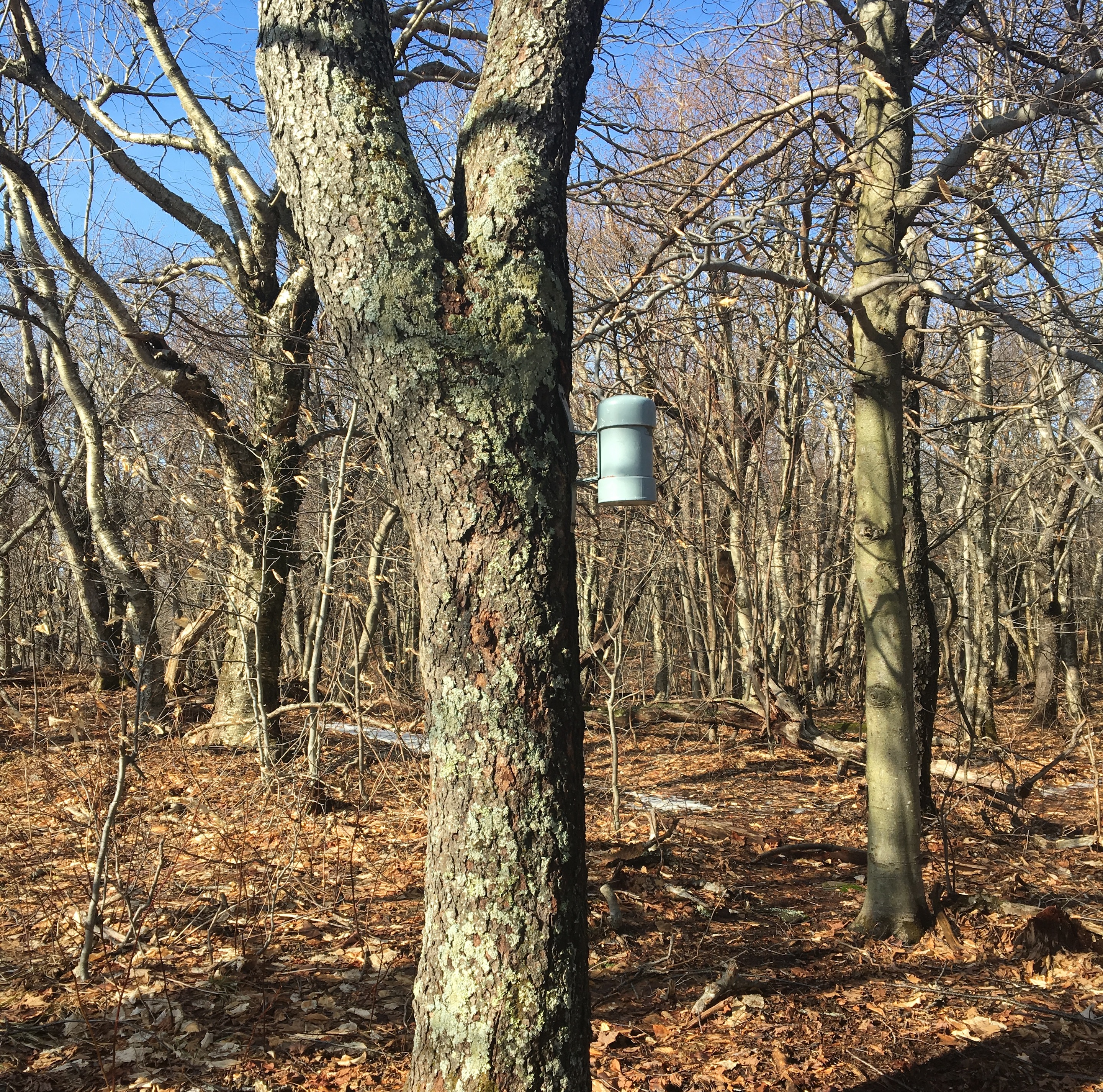
As we hiked past the western tip of this tributary, I mourned the gradual loss of the thundering sound of waterfalls and the hike to the summit seemed that much further without this calming sound. The summit: a melting snowcap – although the cap was dry – slushy underfoot with hidden logs to get your feet stuck in and treacherously slippery on the way back down. Not a place to have a hole in your hiking shoe. The NYNJ Trail Conference map says that there’s a view near the summit, but I didn’t stick around long to try and find it. Only nine more to go.
© J.N. Urbanski
There is a great hike which starts at the end of Turk Hollow Road in Halcott ct. it will bring you to the Halcott lean to.There are three barbecue pits there and then our house, it is a well groomed open trail with the parking area just below the lien to