© J.N. Urbanski
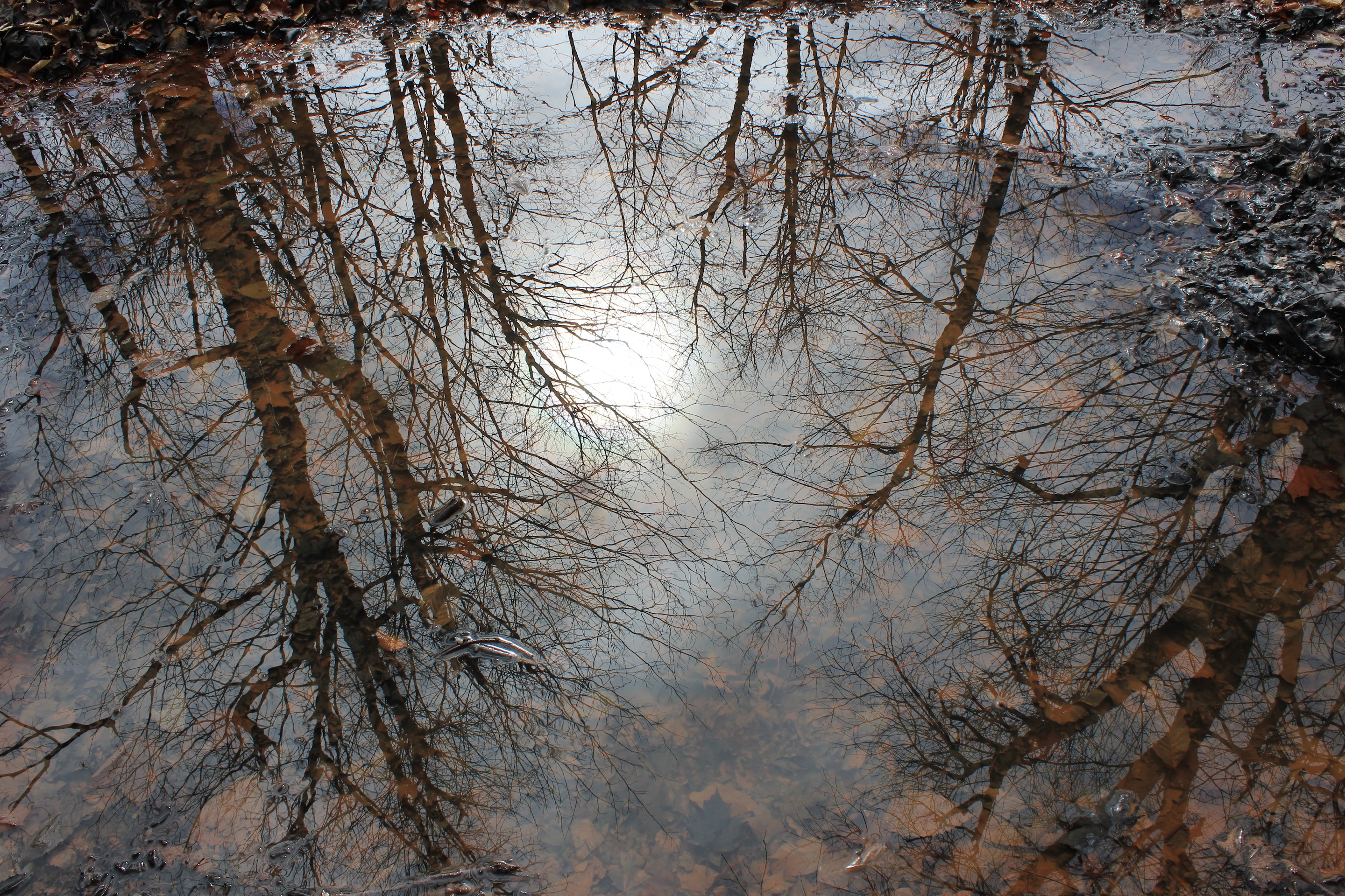
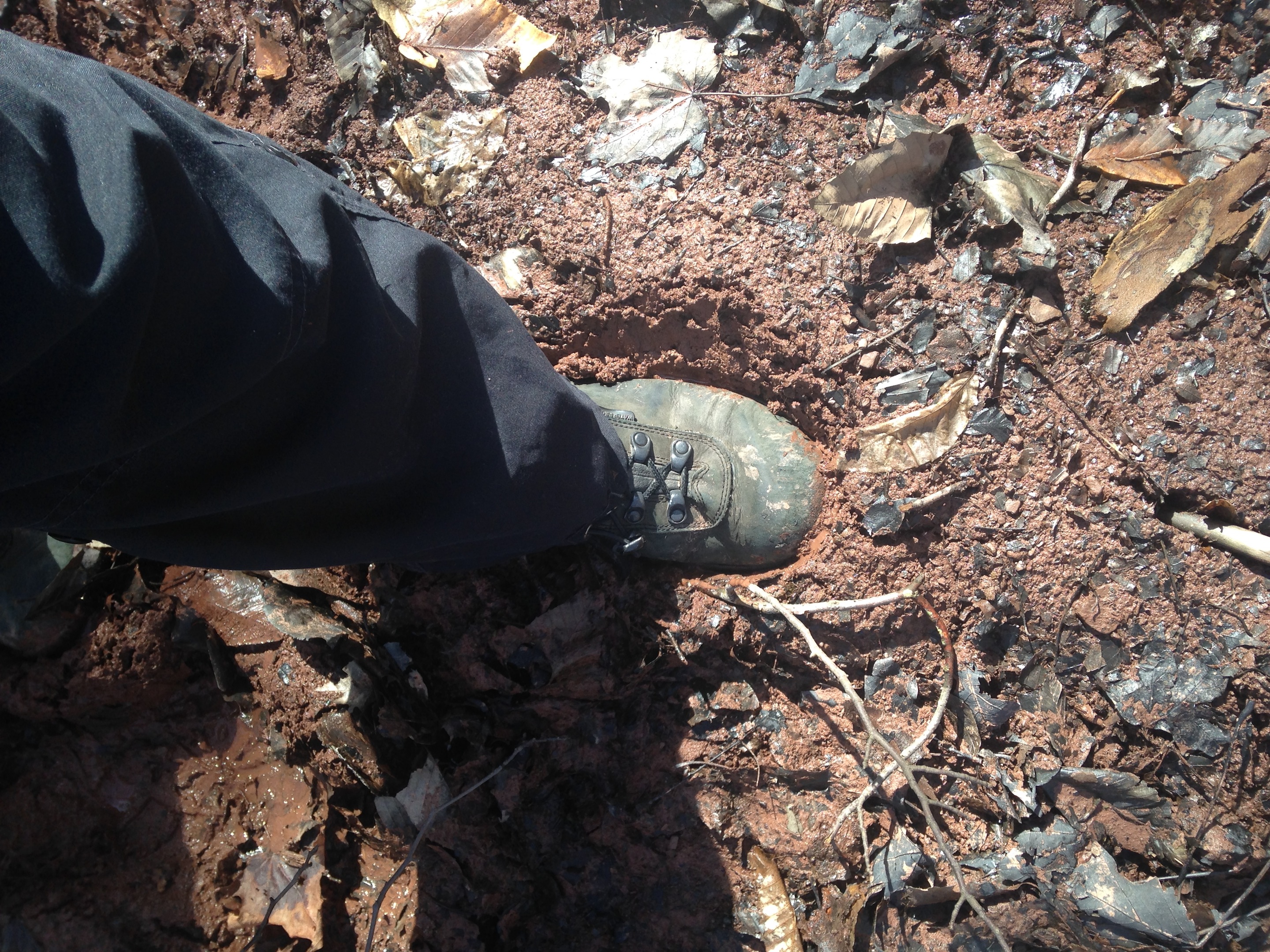
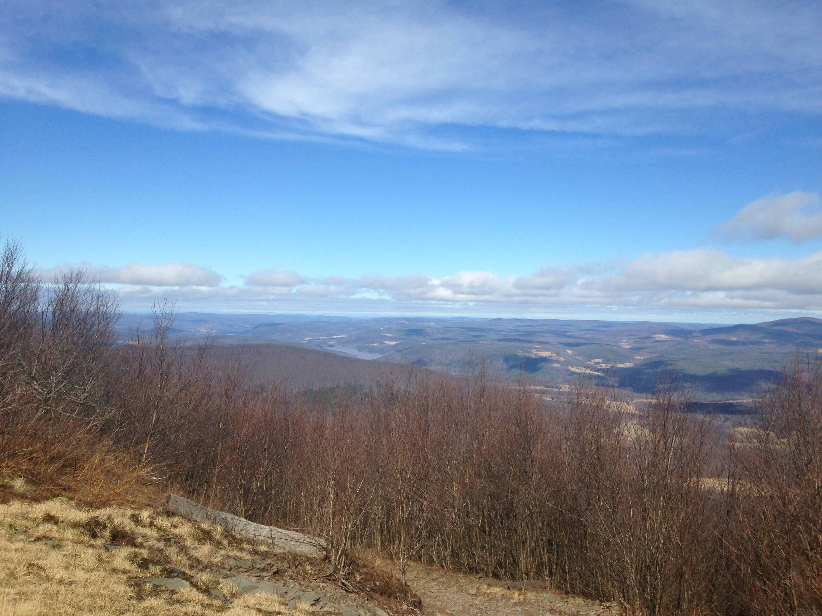
The trail to the summit of Bearpen is a long, gradual meander around a mountain, mostly on a part of a snowmobile trail that’s much longer than the walk to the summit and privately maintained. Unlike other trails to Catskills peaks over 3500ft, which are rocky, and perhaps because it’s so further afield than the others, the path is soft and grassy. There’s no tripping over boulders or sliding around on gravel. Most of all, there’s no clambering. If you like hauling yourself up over large boulders, this is not the hike for you. There are short lengths of the trail that are steeper, but they don’t last long. Bearpen is bearish, not bullish, if you like market metaphors. Yesterday, the trail was wet and that made the going very muddy with the boots sinking inches into thick banks of mud in some parts. There were long, round puddles that reflected another gorgeous winter day wearing the mantle of spring. On the ascent there are views through the trees during winter and at the summit, there are many breathtaking views. There’s also a large, rusting contraption that looks like an old ski-lift pulley converted from a car or truck, around which small trees have grown.
Bearpen is technically a bushwhack and is not blazed or marked like its sister mountain Vly, which I have written about here, that has its trail marked with blue paint. However, the trail is an obvious jeep trail or “woods road” that is essentially an extension of Route 3 and travels over the notch between Vly and Bearpen and down to join Route 3 when it resumes on the other side. One can imagine horses, buggies and carts and carriages taking this route over the mountain in years past. Route 3 is a notably magical drive through some of the Catskills most serenely beautiful parts. Stop off at the diBenedetto farm and pick up the most delicious cream line milk in the region. You only place you’ll find milk as delicious and wholesome as this is the 1970s.
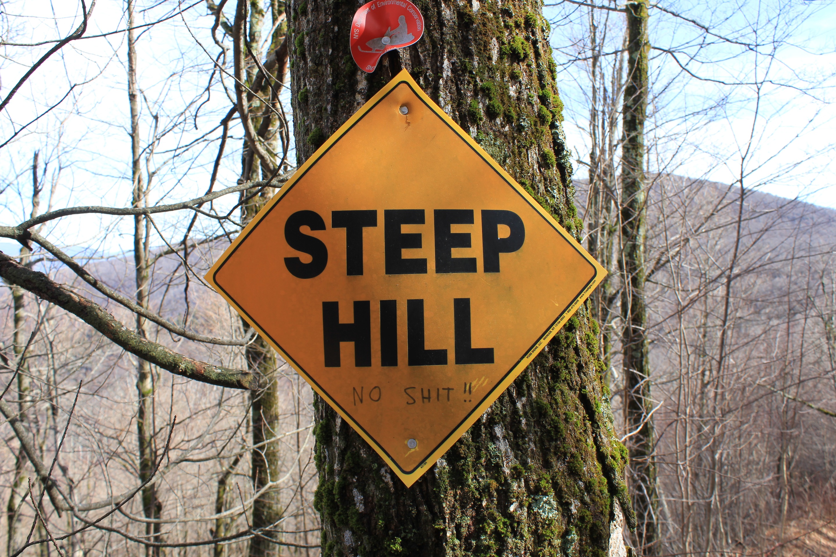
To get to the beginning of the trail, drive to the end of Route 3 and be careful where you park. Do not park in the snow plough turnaround or on private property. Park on the road. Take the wide jeep trail that seems like an extension in the same direction of Route 3 in a northeasterly direction – the aforementioned “woods road” for about a mile until you reach a fork in the trail and a black cabin on the left fork. (This first mile is marked as black dashes on the NYNJ Trail conference map.) The black cabin is on the start of the trail to Bearpen. Walk past this and take the left fork in the road up the hill. Then take the snowmobile trail that is clearly marked with a red blaze. You will encounter signage as you ascend, but it’s best to take the map and compass on this route, to be sure. This way up to the summit from the parking area is about 3 miles. Go here to find directions from Catskill Mountaineer.
© J.N. Urbanski
© J.N. Urbanski
© J.N. Urbanski

© J.N. Urbanski
Pingback: Sunday on Bearpen | UPSTATE DISPATCH